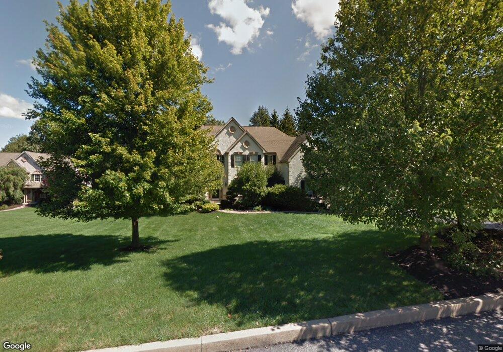
9 Amanda Ln West Chester, PA 19380
Estimated Value: $995,000 - $1,172,000
5
Beds
4
Baths
4,187
Sq Ft
$260/Sq Ft
Est. Value
About This Home
This home is located at 9 Amanda Ln, West Chester, PA 19380 and is currently estimated at $1,089,768, approximately $260 per square foot. 9 Amanda Ln is a home located in Chester County with nearby schools including East Bradford Elementary School, E.N. Peirce Middle School, and Henderson High School.
Ownership History
Date
Name
Owned For
Owner Type
Purchase Details
Closed on
Oct 24, 2007
Sold by
Schneberger Thomas J
Bought by
Romanczuk Paul D and Romanczuk Kelly A
Current Estimated Value
Home Financials for this Owner
Home Financials are based on the most recent Mortgage that was taken out on this home.
Original Mortgage
$417,000
Outstanding Balance
$263,864
Interest Rate
6.47%
Mortgage Type
Purchase Money Mortgage
Estimated Equity
$825,904
Purchase Details
Closed on
Aug 6, 1999
Sold by
Pemberley Inc
Bought by
Schineberger Thomas J
Home Financials for this Owner
Home Financials are based on the most recent Mortgage that was taken out on this home.
Original Mortgage
$180,000
Interest Rate
7.54%
Create a Home Valuation Report for This Property
The Home Valuation Report is an in-depth analysis detailing your home's value as well as a comparison with similar homes in the area
Home Values in the Area
Average Home Value in this Area
Purchase History
| Date | Buyer | Sale Price | Title Company |
|---|---|---|---|
| Romanczuk Paul D | $699,000 | None Available | |
| Schineberger Thomas J | $452,000 | Manito Title Insurance Compa |
Source: Public Records
Mortgage History
| Date | Status | Borrower | Loan Amount |
|---|---|---|---|
| Open | Romanczuk Paul D | $417,000 | |
| Previous Owner | Schineberger Thomas J | $180,000 |
Source: Public Records
Tax History Compared to Growth
Tax History
| Year | Tax Paid | Tax Assessment Tax Assessment Total Assessment is a certain percentage of the fair market value that is determined by local assessors to be the total taxable value of land and additions on the property. | Land | Improvement |
|---|---|---|---|---|
| 2025 | $11,258 | $388,370 | $62,900 | $325,470 |
| 2024 | $11,258 | $388,370 | $62,900 | $325,470 |
| 2023 | $11,258 | $388,370 | $62,900 | $325,470 |
| 2022 | $11,112 | $388,370 | $62,900 | $325,470 |
| 2021 | $10,957 | $388,370 | $62,900 | $325,470 |
| 2020 | $10,886 | $388,370 | $62,900 | $325,470 |
| 2019 | $10,735 | $388,370 | $62,900 | $325,470 |
| 2018 | $10,507 | $388,370 | $62,900 | $325,470 |
| 2017 | $10,279 | $388,370 | $62,900 | $325,470 |
| 2016 | $8,531 | $388,370 | $62,900 | $325,470 |
| 2015 | $8,531 | $388,370 | $62,900 | $325,470 |
| 2014 | $8,531 | $388,370 | $62,900 | $325,470 |
Source: Public Records
Map
Nearby Homes
- 4 Amanda Ln
- Lot 1 Susan Dr
- 530 Legion Dr
- 1252 Memory Ln
- 1280 Cardinal Ave
- 479 Douglas Dr
- 112 Crosspointe Dr
- 48 Sheffield Ln
- 806 Downingtown Pike
- 306 Greenhill Rd
- 1430 Grove Ave
- 1432 Grove Ave
- 1354 Old Pottstown Pike
- 1405 Gorky Ln
- 1500 Cardiff Terrace
- 510 Pine Needle Dr
- 735 Hillside Dr
- 1614 Phillips Dr
- 734 Marshall Dr
- 723 Hillside Dr