9 Amber Ln Dawsonville, GA 30534
Dawson County NeighborhoodEstimated Value: $293,000 - $365,000
3
Beds
3
Baths
1,896
Sq Ft
$170/Sq Ft
Est. Value
About This Home
This home is located at 9 Amber Ln, Dawsonville, GA 30534 and is currently estimated at $323,025, approximately $170 per square foot. 9 Amber Ln is a home located in Dawson County with nearby schools including Robinson Elementary School, Dawson County Junior High School, and Dawson County Middle School.
Ownership History
Date
Name
Owned For
Owner Type
Purchase Details
Closed on
Sep 16, 2022
Sold by
Mechelle Roydes Kristi
Bought by
Pardue Kevin and Pardue Jessica L
Current Estimated Value
Purchase Details
Closed on
Jan 28, 2022
Sold by
Lee Ayers Daniel
Bought by
Pardue Kevin and Pardue Jessica L
Purchase Details
Closed on
Jul 13, 2021
Sold by
Roydes Kristi Mechelle
Bought by
Ayers Amanda Kaye and Ayers Daniel Lee
Home Financials for this Owner
Home Financials are based on the most recent Mortgage that was taken out on this home.
Original Mortgage
$152,375
Interest Rate
2.9%
Mortgage Type
Purchase Money Mortgage
Purchase Details
Closed on
Mar 22, 2012
Sold by
Roydes Bruce Douglas
Bought by
Roydes Kristi Mechelle
Purchase Details
Closed on
Sep 29, 1989
Sold by
Kristi Mechele
Bought by
Roydes Bruce D
Create a Home Valuation Report for This Property
The Home Valuation Report is an in-depth analysis detailing your home's value as well as a comparison with similar homes in the area
Home Values in the Area
Average Home Value in this Area
Purchase History
| Date | Buyer | Sale Price | Title Company |
|---|---|---|---|
| Pardue Kevin | $22,000 | -- | |
| Pardue Kevin | -- | None Listed On Document | |
| Ayers Amanda Kaye | $200,000 | None Available | |
| Roydes Kristi Mechelle | -- | -- | |
| Roydes Kristi Mechelle | -- | -- | |
| Roydes Bruce D | -- | -- |
Source: Public Records
Mortgage History
| Date | Status | Borrower | Loan Amount |
|---|---|---|---|
| Previous Owner | Ayers Amanda Kaye | $152,375 |
Source: Public Records
Tax History Compared to Growth
Tax History
| Year | Tax Paid | Tax Assessment Tax Assessment Total Assessment is a certain percentage of the fair market value that is determined by local assessors to be the total taxable value of land and additions on the property. | Land | Improvement |
|---|---|---|---|---|
| 2024 | $1,592 | $99,880 | $14,960 | $84,920 |
| 2023 | $5,337 | $243,904 | $21,040 | $222,864 |
| 2022 | $1,663 | $88,048 | $16,560 | $71,488 |
| 2021 | $2,133 | $145,408 | $57,800 | $87,608 |
| 2020 | $2,216 | $147,728 | $60,720 | $87,008 |
| 2019 | $2,039 | $139,648 | $60,720 | $78,928 |
| 2018 | $2,039 | $139,648 | $60,720 | $78,928 |
| 2017 | $1,764 | $131,350 | $63,993 | $67,357 |
| 2016 | $1,681 | $128,021 | $63,993 | $64,028 |
| 2015 | $1,676 | $120,304 | $58,230 | $62,074 |
| 2014 | $1,658 | $117,615 | $58,230 | $59,385 |
| 2013 | -- | $114,124 | $58,230 | $55,893 |
Source: Public Records
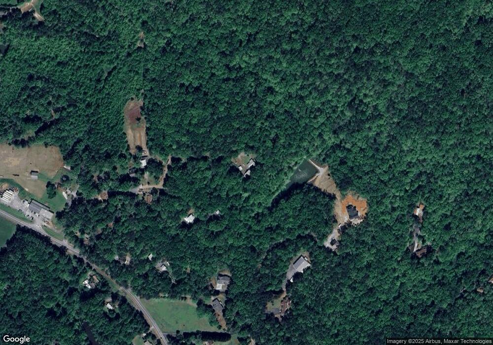
Map
Nearby Homes
- 00 Ga-136 Tract 2
- 106 Highway 136 E
- 2103 Highway 136 E
- 0 Highway 9 N Unit 10600540
- 237 Highway 136 W
- 191+/- ACRES Georgia 136
- 191+/- Acres Off Hwy 136
- 134 Cicero Trail
- 771 Rattlesnake Ridge
- 387 Gold Bullion Dr E
- 1017 New Bethel Church Rd
- 8 Gold Dust Dr
- 10 Gold Dust Dr
- 8 Gold Dust Dr Unit 23-B
- 10 Gold Dust Dr Unit 23-A
- 42 Gold Dust Dr
- 42 Gold Dust Dr Unit 17A
- 62 Gold Dust Dr
- 29 Gold Dust Dr
- 23 Gold Dust Dr
- 179 Brooksher Trail
- 871 Highway 136 E
- 57 Brooksher Cir
- 815 Highway 136 E
- 423 Clear Creek Rd
- 51 Amber Ln
- 883 Highway 136 E
- 883 Georgia 136
- 194 Bruce Place
- 959 Highway 136 E
- 69 Brooksher Cir
- 41 Brooksher Cir
- 880 Highway 136 E
- 68 Brooksher Cir
- 3 Amber Ln
- 58 Bruce Place
- 46 Brooksher Cir
- 958 Highway 136 E
- 134 Amber Ln
- 918 Highway 136 E