9 Amys Way West Gardiner, ME 04345
Estimated Value: $379,000 - $415,000
--
Bed
--
Bath
--
Sq Ft
--
Built
About This Home
This home is located at 9 Amys Way, West Gardiner, ME 04345 and is currently estimated at $395,346. 9 Amys Way is a home with nearby schools including Gardiner Area High School.
Ownership History
Date
Name
Owned For
Owner Type
Purchase Details
Closed on
Apr 13, 2007
Sold by
Dupont Heath A
Bought by
Barlow Deborah E and Barlow Keith A
Current Estimated Value
Home Financials for this Owner
Home Financials are based on the most recent Mortgage that was taken out on this home.
Original Mortgage
$151,980
Outstanding Balance
$91,434
Interest Rate
6.24%
Mortgage Type
Purchase Money Mortgage
Estimated Equity
$303,912
Purchase Details
Closed on
Oct 12, 2005
Sold by
Hart Melissa M
Bought by
Dupont Heath A
Home Financials for this Owner
Home Financials are based on the most recent Mortgage that was taken out on this home.
Original Mortgage
$1,248,550
Interest Rate
7%
Mortgage Type
Adjustable Rate Mortgage/ARM
Create a Home Valuation Report for This Property
The Home Valuation Report is an in-depth analysis detailing your home's value as well as a comparison with similar homes in the area
Home Values in the Area
Average Home Value in this Area
Purchase History
| Date | Buyer | Sale Price | Title Company |
|---|---|---|---|
| Barlow Deborah E | -- | -- | |
| Dupont Heath A | -- | -- |
Source: Public Records
Mortgage History
| Date | Status | Borrower | Loan Amount |
|---|---|---|---|
| Open | Barlow Deborah E | $151,980 | |
| Previous Owner | Dupont Heath A | $1,248,550 |
Source: Public Records
Tax History Compared to Growth
Tax History
| Year | Tax Paid | Tax Assessment Tax Assessment Total Assessment is a certain percentage of the fair market value that is determined by local assessors to be the total taxable value of land and additions on the property. | Land | Improvement |
|---|---|---|---|---|
| 2024 | $2,763 | $347,500 | $47,500 | $300,000 |
| 2023 | $2,268 | $280,000 | $40,000 | $240,000 |
| 2022 | $1,992 | $240,000 | $40,000 | $200,000 |
| 2021 | $2,138 | $225,000 | $40,000 | $185,000 |
| 2020 | $2,352 | $210,000 | $40,000 | $170,000 |
| 2019 | $2,300 | $200,000 | $40,000 | $160,000 |
| 2018 | $2,380 | $200,000 | $40,000 | $160,000 |
| 2017 | $2,460 | $200,000 | $40,000 | $160,000 |
| 2016 | $2,400 | $200,000 | $40,000 | $160,000 |
| 2013 | $2,180 | $200,000 | $40,000 | $160,000 |
Source: Public Records
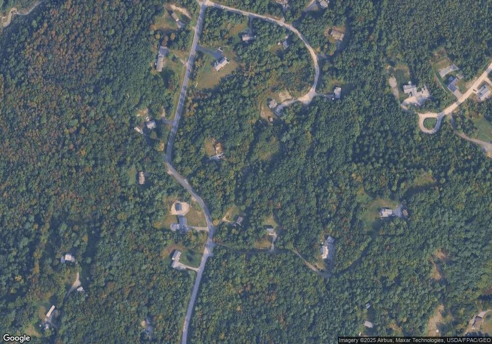
Map
Nearby Homes
- 38 Rockwood Estates
- 67 Rockwood Estates
- Lot 2 Rockwood Estates
- 2 Oakwood Rd
- 159 Old Lewiston Rd
- 2 Orchard St
- 35 Ash St
- 36 Adams St
- 33 Ash St Unit 33A & 33B
- 229 Highland Ave
- 303 Harrison Ave
- 25 and 27 Pray St
- 25 Pray St
- 26 Rutabeggar Ln
- 14 Blt Dr
- 504 Water St
- 85 High Holborn St
- 29 Magnolia Ln Unit 29
- 21 Magnolia Ln Unit 21
- 17 Magnolia Ln Unit 17
- 11 W Ridge Rd
- 0 Ridge Road Extension
- 0 Ridge Road Extension
- 16 W Ridge Rd
- 20 W Ridge Rd
- 47 W Ridge Rd
- 39 N Ridge Rd
- 38 N Ridge Rd
- 0 E Ridge Rd
- 34 Rabbit Ridge Rd
- 42 W Ridge Rd
- 30 E Ridge Rd
- 25 N North Ridge Rd
- 50 W Ridge Rd
- 11 N Ridge Rd
- 30 N Ridge Rd
- 24 N Ridge Rd
- 25 N Ridge Rd
- 42 E Ridge Rd
- 0 N Ridge Rd