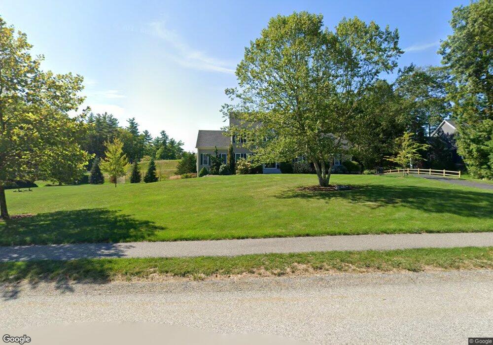
9 Arbor Way Groton, MA 01450
Estimated Value: $860,000 - $988,000
4
Beds
3
Baths
2,434
Sq Ft
$369/Sq Ft
Est. Value
About This Home
This home is located at 9 Arbor Way, Groton, MA 01450 and is currently estimated at $898,889, approximately $369 per square foot. 9 Arbor Way is a home with nearby schools including Groton Dunstable Regional High School.
Ownership History
Date
Name
Owned For
Owner Type
Purchase Details
Closed on
Jun 29, 2010
Sold by
Academy Hill Rt and Wheeler
Bought by
Palmacci Michael R and Hurwitz Faye I
Current Estimated Value
Home Financials for this Owner
Home Financials are based on the most recent Mortgage that was taken out on this home.
Original Mortgage
$384,519
Outstanding Balance
$258,817
Interest Rate
4.98%
Mortgage Type
Purchase Money Mortgage
Estimated Equity
$640,072
Create a Home Valuation Report for This Property
The Home Valuation Report is an in-depth analysis detailing your home's value as well as a comparison with similar homes in the area
Home Values in the Area
Average Home Value in this Area
Purchase History
| Date | Buyer | Sale Price | Title Company |
|---|---|---|---|
| Palmacci Michael R | $480,649 | -- | |
| Palmacci Michael R | $480,649 | -- |
Source: Public Records
Mortgage History
| Date | Status | Borrower | Loan Amount |
|---|---|---|---|
| Open | Palmacci Michael R | $384,519 | |
| Closed | Palmacci Michael R | $384,519 |
Source: Public Records
Tax History Compared to Growth
Tax History
| Year | Tax Paid | Tax Assessment Tax Assessment Total Assessment is a certain percentage of the fair market value that is determined by local assessors to be the total taxable value of land and additions on the property. | Land | Improvement |
|---|---|---|---|---|
| 2025 | $11,906 | $780,700 | $216,200 | $564,500 |
| 2024 | $11,729 | $777,300 | $216,200 | $561,100 |
| 2023 | $11,128 | $711,500 | $216,200 | $495,300 |
| 2022 | $10,280 | $598,000 | $190,100 | $407,900 |
| 2021 | $10,196 | $579,300 | $184,000 | $395,300 |
| 2020 | $10,126 | $582,600 | $184,000 | $398,600 |
| 2019 | $9,481 | $523,500 | $175,600 | $347,900 |
| 2018 | $9,178 | $491,600 | $167,200 | $324,400 |
| 2017 | $8,977 | $491,600 | $167,200 | $324,400 |
| 2016 | $9,001 | $479,300 | $161,600 | $317,700 |
| 2015 | $8,757 | $479,300 | $161,600 | $317,700 |
Source: Public Records
Map
Nearby Homes
- 7a Lilac Cir Unit B
- 22 Lakin St
- 10 Lakin St
- 5 Friends Way
- 18 Crosswinds Dr
- 15 Squannacook Dr
- 10 Hillside St
- 10 West St
- 346 Townsend Rd
- 31 Shirley Rd
- Lot 10 Christian Cir
- 6 Shirley Rd
- 20 Park Dr
- 32 Main St
- 5 Spaulding Rd
- 35 Mount Lebanon St
- 147 Shirley St
- 126 Shirley St Unit 128
- 111 Squannacook Rd
- 107 Warren Rd
- 170 Cherry Tree Ln
- 174 Cherry Tree Ln
- 27 Arbor Way
- 29 Arbor Way
- 25 Arbor Way
- 35 Arbor Way
- 31 Arbor Way
- 37 Arbor Way
- 176 Cherry Tree Ln
- 195 Cherry Tree Ln
- 176 Cherry Tree Ln
- 8 Arbor Way
- Lot 18 Cherry Tree Ln
- Lot 16 Cherry Tree Ln
- LOT 32 Arbor Way Unit 38
- LOT 32 Arbor Way
- Lot 26 Arbor Way
- Lot 24 Arbor Way
- 18 Arbor Way
- 12 Arbor Way