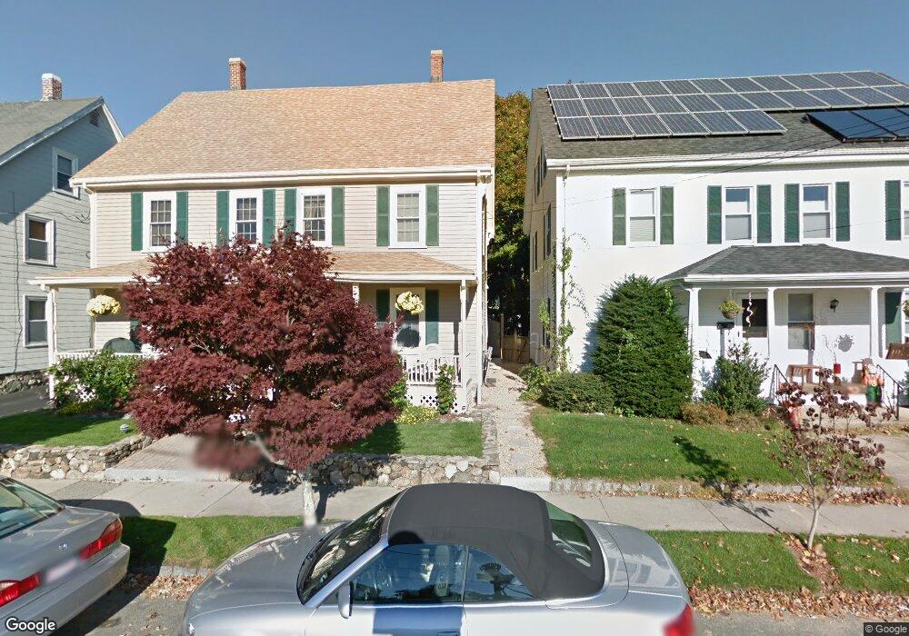
9 Arthur St Unit 11 Winchester, MA 01890
Estimated Value: $1,112,000 - $1,252,462
8
Beds
2
Baths
2,435
Sq Ft
$486/Sq Ft
Est. Value
About This Home
This home is located at 9 Arthur St Unit 11, Winchester, MA 01890 and is currently estimated at $1,182,616, approximately $485 per square foot. 9 Arthur St Unit 11 is a home located in Middlesex County with nearby schools including Lynch Elementary School, McCall Middle School, and Winchester High School.
Ownership History
Date
Name
Owned For
Owner Type
Purchase Details
Closed on
Mar 26, 1992
Sold by
Carr Margaret M
Bought by
Carr Arthur F and Carr Kathleen A
Current Estimated Value
Create a Home Valuation Report for This Property
The Home Valuation Report is an in-depth analysis detailing your home's value as well as a comparison with similar homes in the area
Purchase History
| Date | Buyer | Sale Price | Title Company |
|---|---|---|---|
| Carr Arthur F | $90,000 | -- |
Source: Public Records
Mortgage History
| Date | Status | Borrower | Loan Amount |
|---|---|---|---|
| Open | Carr Arthur F | $349,600 | |
| Closed | Carr Arthur F | $208,950 | |
| Closed | Carr Arthur F | $80,000 |
Source: Public Records
Tax History
| Year | Tax Paid | Tax Assessment Tax Assessment Total Assessment is a certain percentage of the fair market value that is determined by local assessors to be the total taxable value of land and additions on the property. | Land | Improvement |
|---|---|---|---|---|
| 2025 | $11,574 | $1,043,600 | $560,500 | $483,100 |
| 2024 | $11,468 | $1,012,200 | $531,000 | $481,200 |
| 2023 | $11,297 | $957,400 | $486,800 | $470,600 |
| 2022 | $10,839 | $866,400 | $442,500 | $423,900 |
| 2021 | $10,052 | $783,500 | $376,100 | $407,400 |
| 2020 | $9,708 | $783,500 | $376,100 | $407,400 |
| 2019 | $8,226 | $679,300 | $302,400 | $376,900 |
| 2018 | $7,958 | $652,800 | $287,600 | $365,200 |
| 2017 | $7,681 | $625,500 | $272,900 | $352,600 |
| 2016 | $6,895 | $590,300 | $272,900 | $317,400 |
| 2015 | $6,689 | $551,000 | $247,100 | $303,900 |
| 2014 | $6,554 | $517,700 | $213,900 | $303,800 |
Source: Public Records
Map
Nearby Homes
- 20 Arthur St
- 237 Swanton St
- 171 Swanton St Unit 73
- 8 Russell Rd Unit 10
- 200 Swanton St Unit 228
- 200 Swanton St Unit T28
- 62 Richardson St
- 20 Charles Rd
- 9 Charles Rd
- 40 Pickering St
- 38 Pickering St Unit A
- 53 Lake St
- 149 Horn Pond Brook Rd
- 2 Maria Ct
- 666 Main St Unit 315
- 22 Oak St
- 320 Washington St
- 259 Washington St
- 353-355 Washington St
- 76 Woodside Rd
- 5 Arthur St
- 46 Loring Ave
- 32 Shepard Ct
- 13 Arthur St Unit 15
- 13 Arthur St Unit 13
- 15 Arthur St
- 16 Arthur St
- 45 Loring Ave
- 54 Loring Ave
- 28 Shepard Ct
- 37 Loring Ave Unit 2
- 37 Loring Ave Unit 41
- 37 Loring Ave Unit 1
- 39 Loring Ave Unit 1
- 39 Loring Ave Unit 1-j
- 39 Loring Ave Unit 2
- 39 Loring Ave
- 22 Arthur St
- 58 Loring Ave
- 24 Loring Ave
Your Personal Tour Guide
Ask me questions while you tour the home.