9 Balcom Dr Northborough, MA 01532
Estimated Value: $669,000 - $710,000
3
Beds
3
Baths
1,600
Sq Ft
$433/Sq Ft
Est. Value
About This Home
This home is located at 9 Balcom Dr, Northborough, MA 01532 and is currently estimated at $692,032, approximately $432 per square foot. 9 Balcom Dr is a home located in Worcester County with nearby schools including Lincoln Street Elementary School, Robert E. Melican Middle School, and Algonquin Regional High School.
Ownership History
Date
Name
Owned For
Owner Type
Purchase Details
Closed on
May 8, 2025
Sold by
Swedis Susan R
Bought by
Susan R Swedis Ret and Swedis
Current Estimated Value
Purchase Details
Closed on
Jul 26, 1990
Sold by
Rt Simeone
Bought by
Raymond Susan S
Home Financials for this Owner
Home Financials are based on the most recent Mortgage that was taken out on this home.
Original Mortgage
$40,000
Interest Rate
10.01%
Mortgage Type
Purchase Money Mortgage
Create a Home Valuation Report for This Property
The Home Valuation Report is an in-depth analysis detailing your home's value as well as a comparison with similar homes in the area
Home Values in the Area
Average Home Value in this Area
Purchase History
| Date | Buyer | Sale Price | Title Company |
|---|---|---|---|
| Susan R Swedis Ret | -- | Gould Title | |
| Susan R Swedis Ret | -- | Gould Title | |
| Raymond Susan S | $188,000 | -- | |
| Raymond Susan S | $188,000 | -- |
Source: Public Records
Mortgage History
| Date | Status | Borrower | Loan Amount |
|---|---|---|---|
| Previous Owner | Raymond Susan S | $25,000 | |
| Previous Owner | Raymond Susan S | $25,000 | |
| Previous Owner | Raymond Susan S | $43,000 | |
| Previous Owner | Raymond Susan S | $40,000 |
Source: Public Records
Tax History
| Year | Tax Paid | Tax Assessment Tax Assessment Total Assessment is a certain percentage of the fair market value that is determined by local assessors to be the total taxable value of land and additions on the property. | Land | Improvement |
|---|---|---|---|---|
| 2025 | $9,472 | $664,700 | $298,000 | $366,700 |
| 2024 | $8,434 | $590,600 | $237,900 | $352,700 |
| 2023 | $8,069 | $545,600 | $224,200 | $321,400 |
| 2022 | $7,754 | $470,200 | $213,700 | $256,500 |
| 2021 | $7,500 | $438,100 | $194,400 | $243,700 |
| 2020 | $7,481 | $433,700 | $183,400 | $250,300 |
| 2019 | $7,272 | $424,000 | $178,100 | $245,900 |
| 2018 | $7,005 | $402,800 | $173,800 | $229,000 |
| 2017 | $6,888 | $396,100 | $173,800 | $222,300 |
| 2016 | $6,743 | $392,700 | $170,400 | $222,300 |
| 2015 | $6,153 | $367,800 | $178,500 | $189,300 |
| 2014 | $5,931 | $357,500 | $178,500 | $179,000 |
Source: Public Records
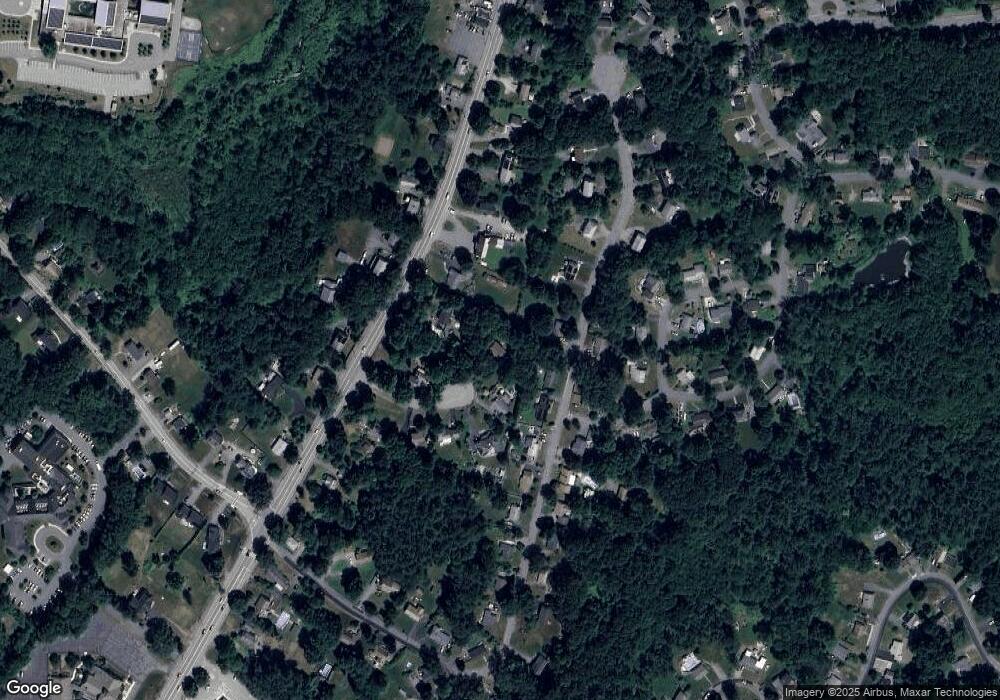
Map
Nearby Homes
- 19 Crestwood Dr Unit 19
- 217 W Main St
- 105 Lincoln St
- 39 Pleasant St Unit A6
- 39 Pleasant St Unit C5
- 39 Pleasant St Unit B19
- 39 Pleasant St Unit B10
- 39 Pleasant St Unit B4
- 71 Summer St
- 5 Swan View Common Dr
- 5 Country Candle Ln Unit 5
- 86 Whitney St
- 85 Hudson St Unit 85
- 81 West St
- 6 Silas Dr
- 26 Treetop Cir
- 14 Vanessa Dr
- 29 Thayer St
- 6 Hillside Rd
- 125 Rice Ave
- 28 Crestwood Dr Unit 71
- 8 Balcom Dr
- 30 Crestwood Dr Unit 70
- 32 Crestwood Dr
- 26 Crestwood Dr
- 26 Crestwood Dr Unit 72
- 191 W Main St
- 189 W Main St
- 191 W Main St Unit 191
- 191 W Main St Unit 191,1
- 195 W Main St
- 36 Crestwood Dr
- 183 W Main St
- 6 Balcom Dr
- 40 Crestwood Dr
- 40 Crestwood Dr Unit 22
- 24 Crestwood Dr
- 24 Crestwood Dr Unit 73
- 175 W Main St
- 27 Crestwood Dr