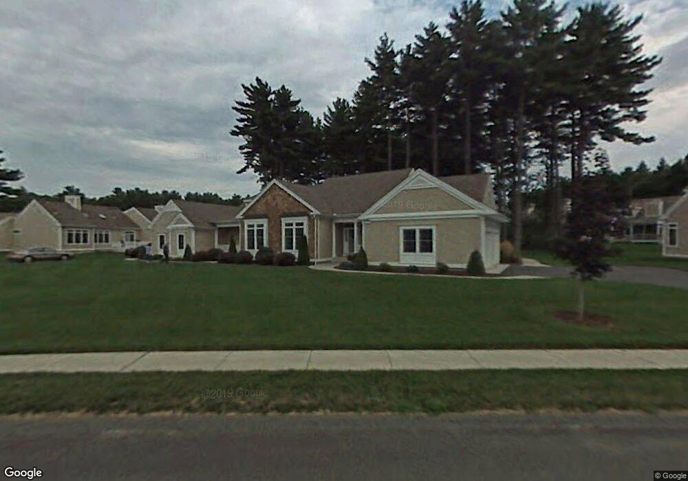
9 Balsam Dr Wilbraham, MA 01095
Estimated Value: $543,000 - $593,000
3
Beds
3
Baths
2,205
Sq Ft
$258/Sq Ft
Est. Value
About This Home
This home is located at 9 Balsam Dr, Wilbraham, MA 01095 and is currently estimated at $568,548, approximately $257 per square foot. 9 Balsam Dr is a home located in Hampden County with nearby schools including Minnechaug Regional High School and Wilbraham & Monson Academy.
Ownership History
Date
Name
Owned For
Owner Type
Purchase Details
Closed on
Nov 24, 2020
Sold by
Geoffrion Alfred J and Geoffrion Anne M
Bought by
Maclellan John J and Maclellan Kathleen F
Current Estimated Value
Purchase Details
Closed on
Dec 5, 2013
Sold by
Carter Gary W and Carter Susan L
Bought by
Geoffrion Alfred J and Geoffrion Anne M
Home Financials for this Owner
Home Financials are based on the most recent Mortgage that was taken out on this home.
Original Mortgage
$250,000
Interest Rate
4.17%
Mortgage Type
New Conventional
Purchase Details
Closed on
Feb 1, 2002
Sold by
Woods At Wilbraham Llc and Landry Laurence D
Bought by
Carter Gary W and Carter Susan L
Home Financials for this Owner
Home Financials are based on the most recent Mortgage that was taken out on this home.
Original Mortgage
$210,000
Interest Rate
7.15%
Mortgage Type
Purchase Money Mortgage
Create a Home Valuation Report for This Property
The Home Valuation Report is an in-depth analysis detailing your home's value as well as a comparison with similar homes in the area
Home Values in the Area
Average Home Value in this Area
Purchase History
| Date | Buyer | Sale Price | Title Company |
|---|---|---|---|
| Maclellan John J | $395,000 | None Available | |
| Geoffrion Alfred J | $324,450 | -- | |
| Carter Gary W | $227,778 | -- |
Source: Public Records
Mortgage History
| Date | Status | Borrower | Loan Amount |
|---|---|---|---|
| Previous Owner | Geoffrion Alfred J | $250,000 | |
| Previous Owner | Carter Gary W | $210,000 |
Source: Public Records
Tax History Compared to Growth
Tax History
| Year | Tax Paid | Tax Assessment Tax Assessment Total Assessment is a certain percentage of the fair market value that is determined by local assessors to be the total taxable value of land and additions on the property. | Land | Improvement |
|---|---|---|---|---|
| 2025 | $8,990 | $502,800 | $0 | $502,800 |
| 2024 | $7,690 | $415,700 | $0 | $415,700 |
| 2023 | $7,801 | $403,700 | $0 | $403,700 |
| 2022 | $7,801 | $380,700 | $0 | $380,700 |
| 2021 | $7,056 | $307,300 | $0 | $307,300 |
| 2020 | $6,877 | $307,300 | $0 | $307,300 |
| 2019 | $10,771 | $307,400 | $0 | $307,400 |
| 2018 | $6,871 | $303,500 | $0 | $303,500 |
| 2017 | $6,677 | $303,500 | $0 | $303,500 |
| 2016 | $6,538 | $302,700 | $0 | $302,700 |
| 2015 | $6,320 | $302,700 | $0 | $302,700 |
Source: Public Records
Map
Nearby Homes
- 79 High Pine Cir
- 69 High Pine Cir
- 54 High Pine Cir
- 35 Lake Dr
- 4 Hillcrest Dr
- 2 Vista Rd
- 28 Decorie Dr
- 46 Washington Rd
- 2 Bayberry Dr Unit 51
- 20 Old Orchard Rd
- 8 Patriot Ridge Ln
- 474 Mountain Rd
- 474-480 Mountain Rd
- 6 Teak Terrace Unit 24
- 19 Linwood Dr
- 182 Mountain Rd
- 99 Sandalwood Dr Unit site 00
- 103 Sandalwood Dr Unit site 00
- 57 Sandalwood Dr Unit site 61
- 111 Sandalwood Dr Unit site 00
- 11 Balsam Dr
- 11 Balsam Dr Unit 11
- 84 High Pine Cir Unit 84
- 84 High Pine Cir Unit 184
- 95 High Pine Cir
- 93 High Pine Cir
- 91 High Pine Cir
- 89 High Pine Cir
- 87 High Pine Cir
- 85 High Pine Cir
- 84 High Pine Cir
- 83 High Pine Cir
- 82 High Pine Cir
- 81 High Pine Cir
- 77 High Pine Cir
- 75 High Pine Cir
- 73 High Pine Cir
- 71 High Pine Cir
- 67 High Pine Cir
- 65 High Pine Cir