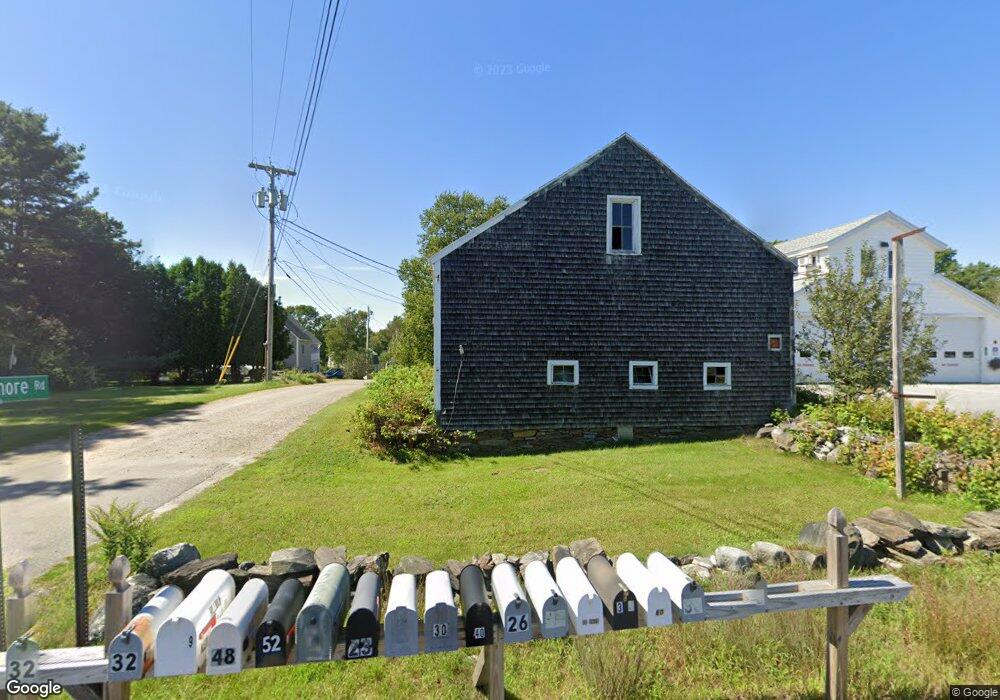
9 Bangs Shore Rd Orrs Island, ME 04066
Harpswell NeighborhoodEstimated Value: $563,471 - $928,000
3
Beds
2
Baths
2,436
Sq Ft
$325/Sq Ft
Est. Value
About This Home
This home is located at 9 Bangs Shore Rd, Orrs Island, ME 04066 and is currently estimated at $792,368, approximately $325 per square foot. 9 Bangs Shore Rd is a home with nearby schools including Mt Ararat High School.
Ownership History
Date
Name
Owned For
Owner Type
Purchase Details
Closed on
Jul 28, 2017
Sold by
Hillman Jason P
Bought by
Hillman Jason P and Hillman Shannon L
Current Estimated Value
Home Financials for this Owner
Home Financials are based on the most recent Mortgage that was taken out on this home.
Original Mortgage
$288,000
Outstanding Balance
$238,831
Interest Rate
3.91%
Mortgage Type
New Conventional
Estimated Equity
$553,537
Purchase Details
Closed on
Feb 10, 2010
Sold by
Hillman Tracy L
Bought by
Hillman Jason P
Create a Home Valuation Report for This Property
The Home Valuation Report is an in-depth analysis detailing your home's value as well as a comparison with similar homes in the area
Home Values in the Area
Average Home Value in this Area
Purchase History
| Date | Buyer | Sale Price | Title Company |
|---|---|---|---|
| Hillman Jason P | -- | -- | |
| Hillman Jason P | -- | -- | |
| Hillman Jason P | -- | -- | |
| Hillman Jason P | -- | -- |
Source: Public Records
Mortgage History
| Date | Status | Borrower | Loan Amount |
|---|---|---|---|
| Open | Hillman Jason P | $288,000 | |
| Closed | Hillman Jason P | $288,000 | |
| Previous Owner | Hillman Jason P | $58,000 |
Source: Public Records
Tax History Compared to Growth
Tax History
| Year | Tax Paid | Tax Assessment Tax Assessment Total Assessment is a certain percentage of the fair market value that is determined by local assessors to be the total taxable value of land and additions on the property. | Land | Improvement |
|---|---|---|---|---|
| 2024 | $2,355 | $370,300 | $108,300 | $262,000 |
| 2023 | $2,259 | $370,300 | $108,300 | $262,000 |
| 2022 | $2,185 | $370,300 | $108,300 | $262,000 |
| 2021 | $2,173 | $321,500 | $83,200 | $238,300 |
| 2020 | $2,167 | $321,500 | $83,200 | $238,300 |
| 2019 | $2,154 | $321,500 | $83,200 | $238,300 |
| 2018 | $2,083 | $321,500 | $83,200 | $238,300 |
| 2017 | $1,464 | $226,700 | $83,200 | $143,500 |
| 2016 | $3,437 | $226,700 | $83,200 | $143,500 |
| 2015 | $1,415 | $226,700 | $83,200 | $143,500 |
| 2013 | $1,114 | $192,800 | $83,200 | $109,600 |
Source: Public Records
Map
Nearby Homes
- 1689 Harpswell Islands Rd
- 87 Lowells Cove Rd
- 0 Bayview Rd Unit 2 1632776
- 30 Osbourne Row
- 1 Mallard Pond Rd
- 41 Spruce Brook Dr
- Lot 2A Allen Point Rd
- Lot 2B Allen Point Rd
- 10 Irene Ave
- 1450 Harpswell Neck Rd
- Lot 129 Harpswell Neck Rd
- 16 Ash Point Rd Unit 16
- lot C Long Point Rd
- 18 Ash Point Rd
- 10 S Colony Branch Rd
- 8 & 2 Kane Ln
- 6 Kane Ln
- 19 Hugh Ave
- 20 Spruce Ledge Rd
- 11 Orion Point Way
- 2 Bangs Shore Rd
- 1610 Harpswell Island Rd
- 1610 Harpswell Islands Rd
- 15 Bangs Shore Rd
- 0 Bangs Shore Rd
- 1618 Harpswell Islands Rd
- 0 Merganser Cove Rd Unit 978596
- 00 Merganser Cove Rd
- 2 Merganser Cove Rd
- 23 Bangs Shore Rd
- 1619 Harpswell Island Rd
- 31 Bangs Shore Rd
- 26 Bangs Shore Rd
- 1624 Harpswell Islands Rd
- 1624A Harpswell Islands Rd
- 30 Bangs Shore Rd
- 1618 Harpswell Island
- 15 Chin Place
- 23 Shoreline Dr
- 32 Bangs Shore Rd