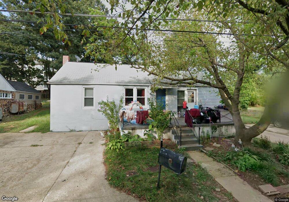
9 Barbara Dale Ln Annapolis, MD 21401
Parole NeighborhoodEstimated Value: $444,368 - $573,000
3
Beds
1
Bath
1,082
Sq Ft
$456/Sq Ft
Est. Value
About This Home
This home is located at 9 Barbara Dale Ln, Annapolis, MD 21401 and is currently estimated at $493,342, approximately $455 per square foot. 9 Barbara Dale Ln is a home located in Anne Arundel County with nearby schools including Rolling Knolls Elementary School, Wiley H. Bates Middle School, and Annapolis High School.
Ownership History
Date
Name
Owned For
Owner Type
Purchase Details
Closed on
Jun 30, 2017
Sold by
Riley Kandy
Bought by
Salazar Heriberto Eliazardo and Vega De Salazar Luz Elena
Current Estimated Value
Create a Home Valuation Report for This Property
The Home Valuation Report is an in-depth analysis detailing your home's value as well as a comparison with similar homes in the area
Home Values in the Area
Average Home Value in this Area
Purchase History
| Date | Buyer | Sale Price | Title Company |
|---|---|---|---|
| Salazar Heriberto Eliazardo | $300,000 | None Available |
Source: Public Records
Tax History Compared to Growth
Tax History
| Year | Tax Paid | Tax Assessment Tax Assessment Total Assessment is a certain percentage of the fair market value that is determined by local assessors to be the total taxable value of land and additions on the property. | Land | Improvement |
|---|---|---|---|---|
| 2025 | $4,443 | $379,400 | $211,900 | $167,500 |
| 2024 | $4,443 | $365,233 | $0 | $0 |
| 2023 | $4,251 | $351,067 | $0 | $0 |
| 2022 | $3,897 | $336,900 | $203,900 | $133,000 |
| 2021 | $3,513 | $320,433 | $0 | $0 |
| 2020 | $3,513 | $303,967 | $0 | $0 |
| 2019 | $3,344 | $287,500 | $146,900 | $140,600 |
| 2018 | $3,247 | $287,500 | $146,900 | $140,600 |
| 2017 | $3,317 | $287,500 | $0 | $0 |
| 2016 | -- | $302,200 | $0 | $0 |
| 2015 | -- | $279,600 | $0 | $0 |
| 2014 | -- | $257,000 | $0 | $0 |
Source: Public Records
Map
Nearby Homes
- 2075 Old Admiral Ct
- 2000 Phillips Terrace Unit 4
- 668 N Bestgate Rd
- 2026 Gov Thomas Bladen Way Unit 102
- 2026 Gov Thomas Bladen Way Unit 203
- 2000 Monticello Dr
- 341 Dubois Rd
- 343 Dubois Rd
- 228 Dubois Rd
- 173 Williams Dr
- 27 Dorsey Ave
- 8 Dorsey Ave
- 25 Dorsey Ave
- 14 A Dorsey Ave
- 553 Choptank Cove Ct
- 9 Bunche St
- 217 Bowie Ave
- 201 Bowie Ave
- 1915 Towne Centre Blvd Unit 606
- 1915 Towne Centre Blvd Unit 1001
- 7 Barbara Dale Ln
- 725 Bestgate Rd
- 626 Admiral Dr
- 11 Barbara Dale Ln
- 721 Bestgate Rd
- 723 Bestgate Rd
- 13 Barbara Dale Ln
- 628 Admiral Dr
- 17 Harbour Heights Dr
- 25 Harbour Heights Dr
- 25 Harbour Heights Dr Unit 25
- 15 Harbour Heights Dr
- 27 Harbour Heights Dr
- 21 Harbour Heights Dr
- 13 Harbour Heights Dr
- 19 Harbour Heights Dr
- 23 Harbour Heights Dr
- 11 Harbour Heights Dr
- 9 Harbour Heights Dr
- 31 Harbour Heights Dr