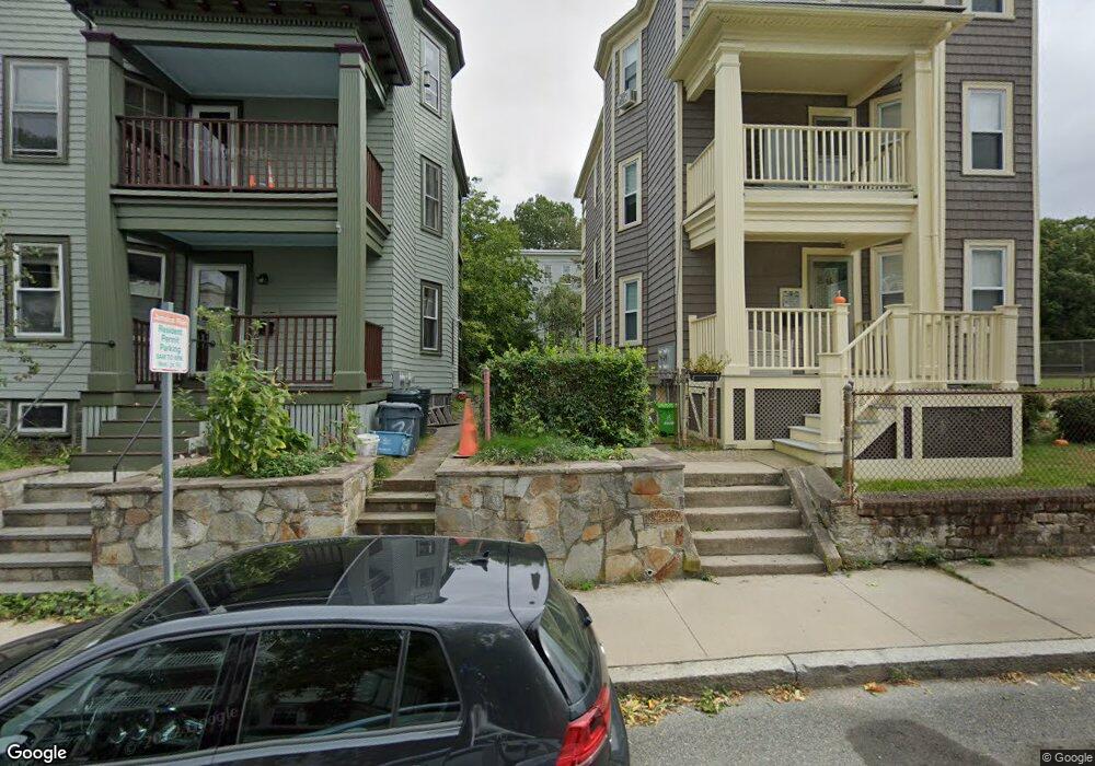
9 Barlow St Unit 2 Jamaica Plain, MA 02130
Jamaica Plain NeighborhoodEstimated Value: $606,000 - $634,000
2
Beds
1
Bath
1,000
Sq Ft
$619/Sq Ft
Est. Value
About This Home
This home is located at 9 Barlow St Unit 2, Jamaica Plain, MA 02130 and is currently estimated at $619,221, approximately $619 per square foot. 9 Barlow St Unit 2 is a home located in Suffolk County with nearby schools including The Croft School - Jamaica Plain.
Ownership History
Date
Name
Owned For
Owner Type
Purchase Details
Closed on
Aug 6, 2003
Sold by
Mchugh James F
Bought by
Radosta John M and Plunkett Mayre P
Current Estimated Value
Home Financials for this Owner
Home Financials are based on the most recent Mortgage that was taken out on this home.
Original Mortgage
$242,400
Outstanding Balance
$102,323
Interest Rate
5.28%
Mortgage Type
Purchase Money Mortgage
Estimated Equity
$516,898
Create a Home Valuation Report for This Property
The Home Valuation Report is an in-depth analysis detailing your home's value as well as a comparison with similar homes in the area
Home Values in the Area
Average Home Value in this Area
Purchase History
| Date | Buyer | Sale Price | Title Company |
|---|---|---|---|
| Radosta John M | $303,000 | -- | |
| Radosta John M | $303,000 | -- |
Source: Public Records
Mortgage History
| Date | Status | Borrower | Loan Amount |
|---|---|---|---|
| Open | Radosta John M | $242,400 | |
| Closed | Radosta John M | $242,400 |
Source: Public Records
Tax History Compared to Growth
Tax History
| Year | Tax Paid | Tax Assessment Tax Assessment Total Assessment is a certain percentage of the fair market value that is determined by local assessors to be the total taxable value of land and additions on the property. | Land | Improvement |
|---|---|---|---|---|
| 2025 | $5,783 | $499,400 | $0 | $499,400 |
| 2024 | $5,235 | $480,300 | $0 | $480,300 |
| 2023 | $4,911 | $457,300 | $0 | $457,300 |
| 2022 | $4,694 | $431,400 | $0 | $431,400 |
| 2021 | $4,384 | $410,900 | $0 | $410,900 |
| 2020 | $3,845 | $364,100 | $0 | $364,100 |
| 2019 | $3,689 | $350,000 | $0 | $350,000 |
| 2018 | $3,561 | $339,800 | $0 | $339,800 |
| 2017 | $3,395 | $320,600 | $0 | $320,600 |
| 2016 | $3,296 | $299,600 | $0 | $299,600 |
| 2015 | $3,393 | $280,200 | $0 | $280,200 |
| 2014 | $3,184 | $253,100 | $0 | $253,100 |
Source: Public Records
Map
Nearby Homes
- 58 Weld Hill St Unit 2
- 64 Hyde Park Ave Unit 3
- 26 Tower St
- 140 Wachusett St
- 143-171 Hyde Park Ave Unit 169A
- 178 Hyde Park Ave Unit 3
- 158 Wachusett St Unit 3
- 31 Rodman St Unit 2
- 31 Rodman St Unit 1
- 1 Catenaccia Way Unit 47
- 18-20 Northbourne Rd Unit 18
- 50 Southbourne Rd
- 5 Hampstead Ln Unit 1
- 41 Brookley Rd Unit 2
- 19 Delford St
- 19 Delford St Unit 1
- 156A South St Unit 1L
- 5 View South Ave Unit 1
- 4012 Washington St
- 348-350 Hyde Park Ave Unit 2
- 9 Barlow St Unit 3
- 9 Barlow St Unit 1
- 28 Wachusett St
- 24 Wachusett St
- 24 Wachusett St Unit 1
- 20 Wachusett St Unit 3
- 20 Wachusett St Unit 2
- 20 Wachusett St Unit 1
- 20 Wachusett St
- 21 Wachusett St Unit 3
- 21 Wachusett St Unit 2
- 21 Wachusett St Unit 1
- 29 Wachusett St Unit 3
- 29 Wachusett St Unit 2
- 29 Wachusett St Unit 1
- 25 Wachusett St
- 42 Wellington St Unit 44
- 15 Leland St
- 33 Wachusett St Unit 2
- 33 Wachusett St Unit 1