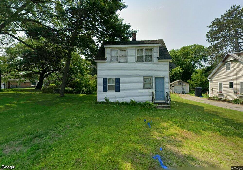
9 Bartlett St Fairfield, ME 04937
Estimated Value: $108,000 - $176,000
2
Beds
1
Bath
780
Sq Ft
$176/Sq Ft
Est. Value
About This Home
This home is located at 9 Bartlett St, Fairfield, ME 04937 and is currently estimated at $137,559, approximately $176 per square foot. 9 Bartlett St is a home located in Somerset County with nearby schools including Lawrence High School and Kennebec Montessori School.
Ownership History
Date
Name
Owned For
Owner Type
Purchase Details
Closed on
Feb 22, 2023
Sold by
Munity Of Fairfield
Bought by
Mello Kevin M
Current Estimated Value
Purchase Details
Closed on
Sep 4, 2012
Sold by
Rositer Francis A and Rositer Susan A
Bought by
Mello Kevin M
Home Financials for this Owner
Home Financials are based on the most recent Mortgage that was taken out on this home.
Original Mortgage
$65,600
Interest Rate
3.56%
Mortgage Type
New Conventional
Purchase Details
Closed on
Oct 23, 2007
Sold by
Us Bank Na
Bought by
Rositer Francis A and Rositer Susan A
Create a Home Valuation Report for This Property
The Home Valuation Report is an in-depth analysis detailing your home's value as well as a comparison with similar homes in the area
Home Values in the Area
Average Home Value in this Area
Purchase History
| Date | Buyer | Sale Price | Title Company |
|---|---|---|---|
| Mello Kevin M | -- | None Available | |
| Mello Kevin M | -- | -- | |
| Rositer Francis A | -- | -- |
Source: Public Records
Mortgage History
| Date | Status | Borrower | Loan Amount |
|---|---|---|---|
| Previous Owner | Mello Kevin M | $65,600 |
Source: Public Records
Tax History
| Year | Tax Paid | Tax Assessment Tax Assessment Total Assessment is a certain percentage of the fair market value that is determined by local assessors to be the total taxable value of land and additions on the property. | Land | Improvement |
|---|---|---|---|---|
| 2023 | $1,264 | $58,800 | $13,100 | $45,700 |
| 2022 | $1,235 | $58,800 | $13,100 | $45,700 |
| 2021 | $1,294 | $58,800 | $13,100 | $45,700 |
| 2020 | $1,311 | $58,800 | $13,100 | $45,700 |
| 2019 | $1,311 | $58,800 | $13,100 | $45,700 |
| 2018 | $1,341 | $58,800 | $13,100 | $45,700 |
| 2017 | $1,341 | $58,800 | $13,100 | $45,700 |
| 2016 | $1,317 | $58,800 | $13,100 | $45,700 |
| 2015 | $1,276 | $58,800 | $13,100 | $45,700 |
| 2014 | $1,191 | $58,800 | $13,100 | $45,700 |
| 2013 | $1,191 | $58,800 | $13,100 | $45,700 |
Source: Public Records
Map
Nearby Homes
- 14 Osborne St
- 3 Evergreen Dr
- 5 Evergreen Dr
- 68 High St
- 28.5 Elm St
- 2 Kelley St
- 29 Lawrence Ave
- 1 Industrial Rd
- 2 Gibson St
- 19 Bunker Ave
- 17 Burrill St
- 1-6 Industrial Rd
- 5 Brooks St
- 3 Bunker Ave
- 10 Sheridan Dr
- 17 Sheridan Dr
- 30 Cottage St
- 6 Liberty St
- Map 36 Lots 13 14 & 17 Sheridan Dr
- 137 Heywood Rd
Your Personal Tour Guide
Ask me questions while you tour the home.