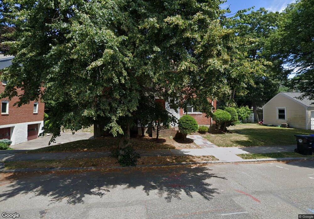
9 Belmont Rd Unit 11 Chestnut Hill, MA 02467
South Brookline NeighborhoodEstimated Value: $1,491,000 - $1,807,000
5
Beds
2
Baths
2,244
Sq Ft
$758/Sq Ft
Est. Value
About This Home
This home is located at 9 Belmont Rd Unit 11, Chestnut Hill, MA 02467 and is currently estimated at $1,701,967, approximately $758 per square foot. 9 Belmont Rd Unit 11 is a home located in Norfolk County with nearby schools including Baker School, Mount Alvernia Academy, and Brimmer & May School.
Ownership History
Date
Name
Owned For
Owner Type
Purchase Details
Closed on
Jun 19, 2019
Sold by
Ceder Michael and Grossack Jori C
Bought by
Coyle Edward C and Donovan James
Current Estimated Value
Purchase Details
Closed on
Oct 22, 2013
Sold by
Ceder Harold and Grossack Jori C
Bought by
Grossack Jori C and Ceder Michael
Purchase Details
Closed on
May 19, 2008
Sold by
Ceder Harold
Bought by
Grossack Jori C
Create a Home Valuation Report for This Property
The Home Valuation Report is an in-depth analysis detailing your home's value as well as a comparison with similar homes in the area
Home Values in the Area
Average Home Value in this Area
Purchase History
| Date | Buyer | Sale Price | Title Company |
|---|---|---|---|
| Coyle Edward C | $1,000,000 | -- | |
| Grossack Jori C | -- | -- | |
| Grossack Jori C | -- | -- |
Source: Public Records
Tax History Compared to Growth
Tax History
| Year | Tax Paid | Tax Assessment Tax Assessment Total Assessment is a certain percentage of the fair market value that is determined by local assessors to be the total taxable value of land and additions on the property. | Land | Improvement |
|---|---|---|---|---|
| 2025 | $15,696 | $1,590,300 | $651,600 | $938,700 |
| 2024 | $15,567 | $1,593,300 | $626,500 | $966,800 |
| 2023 | $15,274 | $1,532,000 | $569,800 | $962,200 |
| 2022 | $14,868 | $1,459,100 | $542,700 | $916,400 |
| 2021 | $10,447 | $1,066,000 | $521,800 | $544,200 |
| 2020 | $9,821 | $1,039,300 | $474,400 | $564,900 |
| 2019 | $9,274 | $989,800 | $451,800 | $538,000 |
| 2018 | $9,134 | $965,500 | $452,100 | $513,400 |
| 2017 | $8,832 | $893,900 | $426,500 | $467,400 |
| 2016 | $8,337 | $800,100 | $398,600 | $401,500 |
| 2015 | $7,769 | $727,400 | $372,500 | $354,900 |
| 2014 | $7,505 | $658,900 | $338,700 | $320,200 |
Source: Public Records
Map
Nearby Homes
- 809-811 Heath St Unit 811
- 799 Heath St Unit 2
- 811 Heath St
- 5 Heathwood Ln
- 321 Hammond Pond Pkwy Unit 103
- 321 Hammond Pond Pkwy Unit 301
- 11 Hammond Pond Pkwy Unit 3
- 33 Hammond Pond Pkwy Unit 2
- 15 Glenland Rd
- 80 Louise Rd Unit 82
- 280 Boylston St Unit 203
- 280 Boylston St Unit 905
- 280 Boylston St Unit 710
- 280 Boylston St Unit 908
- 280 Boylston St Unit 415
- 280 Boylston St Unit 511
- 79 Florence St Unit 600S
- 79 Florence St Unit 402S
- 250 Hammond Pond Pkwy Unit 1604N
- 250 Hammond Pond Pkwy Unit 1002N
- 9 Belmont Rd
- 9 Belmont Rd Unit N/A
- 9 Belmont Rd Unit 1
- 779 Heath St Unit 781
- 17 Belmont Rd Unit 2
- 15 Belmont Rd Unit 17
- 15 Belmont Rd Unit 17
- 809-811 Heath St Unit 809
- 10 Belmont Rd Unit 12
- 775 Heath St
- 775 Heath St
- 789 Heath St Unit 791
- 310 Hammond Pond Pkwy Unit D
- 310 Hammond Pond Pkwy Unit 303
- 310 Hammond Pond Pkwy Unit 301
- 310 Hammond Pond Pkwy Unit 201
- 310 Hammond Pond Pkwy Unit 202
- 310 Hammond Pond Pkwy Unit 401
- 310 Hammond Pond Pkwy Unit 101
- 310 Hammond Pond Pkwy Unit 402