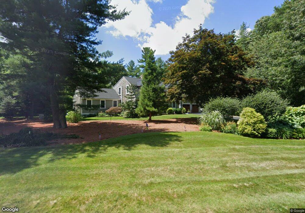
9 Benson Rd Rochester, MA 02770
Estimated Value: $737,000 - $897,968
4
Beds
4
Baths
3,195
Sq Ft
$264/Sq Ft
Est. Value
About This Home
This home is located at 9 Benson Rd, Rochester, MA 02770 and is currently estimated at $844,992, approximately $264 per square foot. 9 Benson Rd is a home located in Plymouth County with nearby schools including Rochester Memorial School and Old Rochester Regional High School.
Ownership History
Date
Name
Owned For
Owner Type
Purchase Details
Closed on
Apr 29, 2015
Sold by
Lefavor Philip W and Lefavor Cindy L
Bought by
Lefavo Ft
Current Estimated Value
Purchase Details
Closed on
Mar 23, 1984
Bought by
Lefavor Philip W and Lee Cindy
Create a Home Valuation Report for This Property
The Home Valuation Report is an in-depth analysis detailing your home's value as well as a comparison with similar homes in the area
Home Values in the Area
Average Home Value in this Area
Purchase History
| Date | Buyer | Sale Price | Title Company |
|---|---|---|---|
| Lefavo Ft | -- | -- | |
| Lefavor Philip W | $110,000 | -- |
Source: Public Records
Mortgage History
| Date | Status | Borrower | Loan Amount |
|---|---|---|---|
| Previous Owner | Lefavor Philip W | $115,000 | |
| Previous Owner | Lefavor Philip W | $50,000 | |
| Previous Owner | Lefavor Philip W | $110,000 | |
| Previous Owner | Lefavor Philip W | $20,000 |
Source: Public Records
Tax History Compared to Growth
Tax History
| Year | Tax Paid | Tax Assessment Tax Assessment Total Assessment is a certain percentage of the fair market value that is determined by local assessors to be the total taxable value of land and additions on the property. | Land | Improvement |
|---|---|---|---|---|
| 2025 | $8,896 | $822,200 | $228,900 | $593,300 |
| 2024 | $8,735 | $789,800 | $218,000 | $571,800 |
| 2023 | $8,080 | $680,700 | $218,000 | $462,700 |
| 2022 | $7,824 | $614,125 | $289,125 | $325,000 |
| 2021 | $7,432 | $555,874 | $263,274 | $292,600 |
| 2020 | $7,452 | $552,800 | $267,800 | $285,000 |
| 2019 | $7,024 | $501,700 | $228,300 | $273,400 |
| 2018 | $6,838 | $484,600 | $206,400 | $278,200 |
| 2017 | $6,442 | $447,700 | $191,700 | $256,000 |
| 2016 | $6,494 | $463,500 | $206,500 | $257,000 |
| 2015 | $6,324 | $449,500 | $206,500 | $243,000 |
| 2014 | $5,828 | $420,800 | $177,800 | $243,000 |
Source: Public Records
Map
Nearby Homes
- 21 Bennett Rd
- 714 Snipatuit Rd
- 562 North Ave
- 247 Braley Hill Rd
- 148 Braley Hill Rd
- 135 Pine St
- 32 Morton Rd
- 2 Hayes St
- 86 Pine St
- 871 Walnut Plain Rd
- 36 Winfield St
- 15 Austin Ln
- 709 Walnut Plain Rd
- 1-3 Doctor Hickey Ln
- 9 Randall Rd
- 43 Hartley Rd
- 38 John Perkins Way
- 91 Brookside Dr
- 290 Mendell Rd
- 21 Robinson Rd