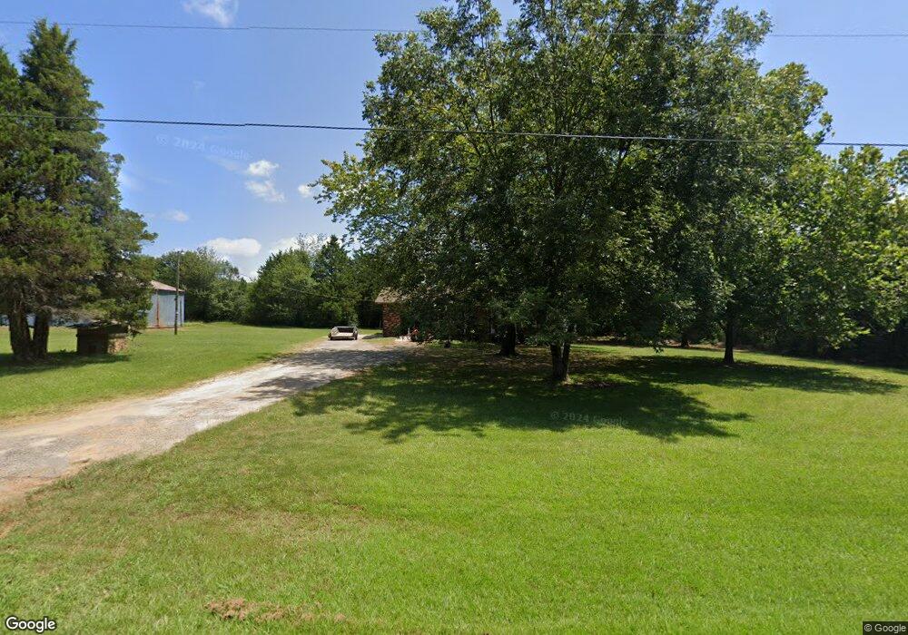
9 Blake Ln Conway, AR 72032
East Conway NeighborhoodEstimated Value: $220,000 - $575,000
Studio
2
Baths
1,384
Sq Ft
$338/Sq Ft
Est. Value
About This Home
This home is located at 9 Blake Ln, Conway, AR 72032 and is currently estimated at $467,865, approximately $338 per square foot. 9 Blake Ln is a home located in Faulkner County with nearby schools including Theodore Jones Elementary School, Conway Junior High School, and Conway High School.
Ownership History
Date
Name
Owned For
Owner Type
Purchase Details
Closed on
Jul 3, 2025
Sold by
Neeley Ruth J
Bought by
Amp Properties Llc
Current Estimated Value
Home Financials for this Owner
Home Financials are based on the most recent Mortgage that was taken out on this home.
Original Mortgage
$495,000
Outstanding Balance
$492,461
Interest Rate
6.86%
Mortgage Type
New Conventional
Estimated Equity
-$24,596
Purchase Details
Closed on
May 25, 1993
Bought by
Whichard Ruth
Purchase Details
Closed on
May 15, 1992
Bought by
Ronnie and Vernon
Create a Home Valuation Report for This Property
The Home Valuation Report is an in-depth analysis detailing your home's value as well as a comparison with similar homes in the area
Home Values in the Area
Average Home Value in this Area
Purchase History
| Date | Buyer | Sale Price | Title Company |
|---|---|---|---|
| Amp Properties Llc | $550,000 | Lenders Title Company | |
| Whichard Ruth | $130,000 | -- | |
| Ronnie | -- | -- |
Source: Public Records
Mortgage History
| Date | Status | Borrower | Loan Amount |
|---|---|---|---|
| Open | Amp Properties Llc | $495,000 |
Source: Public Records
Tax History
| Year | Tax Paid | Tax Assessment Tax Assessment Total Assessment is a certain percentage of the fair market value that is determined by local assessors to be the total taxable value of land and additions on the property. | Land | Improvement |
|---|---|---|---|---|
| 2025 | $1,074 | $35,640 | $7,270 | $28,370 |
| 2024 | $1,074 | $35,640 | $7,270 | $28,370 |
| 2023 | $1,073 | $28,830 | $10,260 | $18,570 |
| 2022 | $1,182 | $28,830 | $10,260 | $18,570 |
| 2021 | $699 | $28,830 | $10,260 | $18,570 |
| 2020 | $703 | $25,040 | $10,350 | $14,690 |
| 2019 | $703 | $25,040 | $10,350 | $14,690 |
| 2018 | $728 | $25,040 | $10,350 | $14,690 |
| 2017 | $727 | $25,040 | $10,350 | $14,690 |
| 2016 | $725 | $21,250 | $10,350 | $10,900 |
| 2015 | $1,074 | $25,610 | $10,270 | $15,340 |
| 2014 | $724 | $25,610 | $10,270 | $15,340 |
Source: Public Records
Map
Nearby Homes
- 2275 Victory Ln
- 2080 Mary Alice Dr
- 2020 Mary Alice Dr
- 1200 Mae Ln
- 1220 Bulldog Dr
- 6 Cedar Hill Rd
- 1135 Gallery Dr
- 1200 Andrews Dr
- 2800 Plateau Dr
- 1050 Gallery Dr
- 3030 Plateau Dr
- 1230 Littlewood Cove
- 3020 Cloudberry Dr
- 1810 Angeline Dr
- 1250 Edge Valley Dr N
- 1510 Freyaldenhoven Ln
- 2485 E Oak St
- 1950 Shadow Falls Dr
- 2510 E Oak St
- 2515 E Oak St
- 4 Blake Ln
- 21 Blake Ln
- 136 Lower Ridge Rd
- 24 Blake Ln
- LOT 29 Lower Ridge Rd
- 0 Lower Ridge Rd Unit 16018137
- 0 Lower Ridge Rd Unit 17006065
- 0 Lower Ridge Rd Unit 19035221
- 0 Lower Ridge Rd Unit 20029850
- 0 Lower Ridge Rd Unit 19014584
- 0 Lower Ridge Rd Unit 21031532
- 01 Lower Ridge Rd
- 126 Lower Ridge Rd
- 27 Blake Ln
- 137 Lower Ridge Rd
- 137 Lower Ridge Rd
- 2391 E German Ln
- 2591 E German Ln
- 139 Lower Ridge Rd
- 29 Blake Ln
Your Personal Tour Guide
Ask me questions while you tour the home.