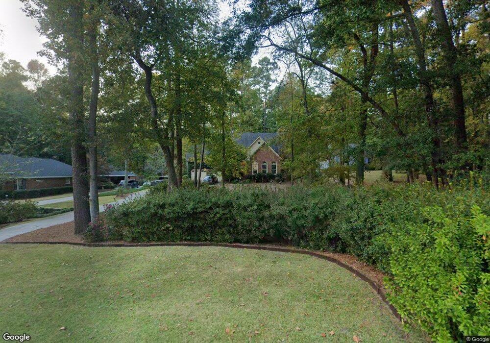
9 Bolin Ct North Augusta, SC 29841
Estimated Value: $340,000 - $506,000
4
Beds
3
Baths
2,750
Sq Ft
$153/Sq Ft
Est. Value
About This Home
This home is located at 9 Bolin Ct, North Augusta, SC 29841 and is currently estimated at $420,947, approximately $153 per square foot. 9 Bolin Ct is a home located in Aiken County with nearby schools including Hammond Hill Elementary School, Paul Knox Middle School, and North Augusta High School.
Ownership History
Date
Name
Owned For
Owner Type
Purchase Details
Closed on
Jun 29, 2011
Sold by
Lewis John C
Bought by
Lewis John C and Lewis Marguerite R
Current Estimated Value
Purchase Details
Closed on
Nov 16, 2009
Sold by
Dunlap Robert E and Dunlap Debra B
Bought by
Lewis John C
Home Financials for this Owner
Home Financials are based on the most recent Mortgage that was taken out on this home.
Original Mortgage
$245,000
Outstanding Balance
$158,017
Interest Rate
4.92%
Mortgage Type
New Conventional
Estimated Equity
$262,930
Purchase Details
Closed on
Jul 30, 2002
Sold by
Edwards Richard M
Bought by
Dunlap Robert E and Dunlap Debra B
Create a Home Valuation Report for This Property
The Home Valuation Report is an in-depth analysis detailing your home's value as well as a comparison with similar homes in the area
Purchase History
| Date | Buyer | Sale Price | Title Company |
|---|---|---|---|
| Lewis John C | -- | -- | |
| Lewis John C | $275,000 | -- | |
| Dunlap Robert E | $179,900 | -- |
Source: Public Records
Mortgage History
| Date | Status | Borrower | Loan Amount |
|---|---|---|---|
| Open | Lewis John C | $245,000 |
Source: Public Records
Tax History
| Year | Tax Paid | Tax Assessment Tax Assessment Total Assessment is a certain percentage of the fair market value that is determined by local assessors to be the total taxable value of land and additions on the property. | Land | Improvement |
|---|---|---|---|---|
| 2025 | $1,172 | $11,700 | -- | -- |
| 2023 | $1,174 | $11,700 | $1,680 | $250,440 |
| 2022 | $1,142 | $11,700 | $0 | $0 |
| 2021 | $1,144 | $11,700 | $0 | $0 |
| 2020 | $1,072 | $10,810 | $0 | $0 |
| 2019 | $1,072 | $10,810 | $0 | $0 |
| 2018 | $1,075 | $10,810 | $1,200 | $9,610 |
| 2017 | $1,020 | $0 | $0 | $0 |
| 2016 | $1,022 | $0 | $0 | $0 |
| 2015 | $1,079 | $0 | $0 | $0 |
| 2014 | $1,081 | $0 | $0 | $0 |
| 2013 | -- | $0 | $0 | $0 |
Source: Public Records
Map
Nearby Homes
- 1815 Mountside Dr
- 1818 Mountside Dr
- 1926 Robin Rd
- 793 Big Pine Rd
- 710 W Martintown Rd
- 639 Caroline Ct Unit 7c
- 633 Caroline Ct Unit 7b
- 623 Caroline Ct Unit 8d
- 617 Caroline Ct Unit 8c
- 613 Caroline Ct Unit 8b
- 611 Caroline Ct Unit 8a
- 4027 Jane Ln Unit 10B
- 1836 Mountside Dr
- 823 Greenwood Dr
- 817 Bobbye Dr Unit Fb77
- 5093 Anna Creek Way
- 5250 Anna Creek Way Unit Fb95
- 5236 Anna Creek Way Unit Fb96
- 5228 Anna Creek Way Unit Fb97
- 5065 Anna Creek Way Unit FB25
Your Personal Tour Guide
Ask me questions while you tour the home.