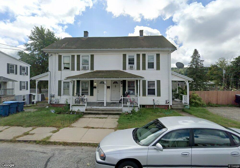
9 Bourne St Unit 11 Three Rivers, MA 01080
Estimated Value: $262,000 - $322,000
4
Beds
2
Baths
2,080
Sq Ft
$138/Sq Ft
Est. Value
About This Home
This home is located at 9 Bourne St Unit 11, Three Rivers, MA 01080 and is currently estimated at $286,907, approximately $137 per square foot. 9 Bourne St Unit 11 is a home located in Hampden County with nearby schools including Old Mill Pond Elementary School, Palmer High School, and Converse Middle School.
Ownership History
Date
Name
Owned For
Owner Type
Purchase Details
Closed on
Jan 27, 2020
Sold by
Batista Michael M
Bought by
Bailey Joseph
Current Estimated Value
Home Financials for this Owner
Home Financials are based on the most recent Mortgage that was taken out on this home.
Original Mortgage
$152,192
Outstanding Balance
$135,439
Interest Rate
3.87%
Mortgage Type
FHA
Estimated Equity
$151,468
Purchase Details
Closed on
Mar 5, 2004
Sold by
Mccloskey Barbara A
Bought by
Batista Michael M
Home Financials for this Owner
Home Financials are based on the most recent Mortgage that was taken out on this home.
Original Mortgage
$110,000
Interest Rate
5.62%
Mortgage Type
Purchase Money Mortgage
Create a Home Valuation Report for This Property
The Home Valuation Report is an in-depth analysis detailing your home's value as well as a comparison with similar homes in the area
Home Values in the Area
Average Home Value in this Area
Purchase History
| Date | Buyer | Sale Price | Title Company |
|---|---|---|---|
| Bailey Joseph | $155,000 | None Available | |
| Bailey Joseph | $155,000 | None Available | |
| Batista Michael M | $113,000 | -- | |
| Batista Michael M | $113,000 | -- |
Source: Public Records
Mortgage History
| Date | Status | Borrower | Loan Amount |
|---|---|---|---|
| Open | Bailey Joseph | $152,192 | |
| Closed | Bailey Joseph | $152,192 | |
| Previous Owner | Batista Michael M | $176,601 | |
| Previous Owner | Batista Michael M | $110,000 |
Source: Public Records
Tax History Compared to Growth
Tax History
| Year | Tax Paid | Tax Assessment Tax Assessment Total Assessment is a certain percentage of the fair market value that is determined by local assessors to be the total taxable value of land and additions on the property. | Land | Improvement |
|---|---|---|---|---|
| 2025 | $4,127 | $226,400 | $61,800 | $164,600 |
| 2024 | $3,887 | $206,100 | $56,200 | $149,900 |
| 2023 | $3,802 | $192,800 | $56,200 | $136,600 |
| 2022 | $3,496 | $160,200 | $49,200 | $111,000 |
| 2021 | $3,420 | $146,900 | $54,600 | $92,300 |
| 2020 | $3,321 | $141,800 | $54,600 | $87,200 |
| 2019 | $3,247 | $141,800 | $54,600 | $87,200 |
| 2018 | $3,184 | $139,000 | $53,000 | $86,000 |
| 2017 | $3,093 | $139,000 | $53,000 | $86,000 |
| 2016 | $3,120 | $140,600 | $51,400 | $89,200 |
| 2015 | $3,002 | $140,600 | $51,400 | $89,200 |
Source: Public Records
Map
Nearby Homes
- 2166-2168 Main St
- 7 Ruggles Ct
- 2151 Main St
- 2014-2020 Palmer St
- 34-36 South St
- 10-12 Belchertown St
- 2045 Calkins Rd
- 13 Quaboag Valley Coop St
- 158 Chudy St
- 2136 Baptist Hill Rd
- 3090 Palmer St
- 4188 Main St
- 1247 Calkins Rd
- 19 Commercial St
- 34 Commercial St
- 63 Mount Dumplin Rd
- 3012 Thorndike St
- 30 Red Bridge Rd
- 4329 High St
- Lots 39-42 Lawrence
- 15 Bourne St Unit 19
- 53 Belanger St
- 13 Bourne St
- 1-3 Bourne St
- 97 Belanger St Unit 97
- 0 Main St
- 21 Bourne St
- 75 Belanger St
- 25 Bourne St
- 2079 Main St Unit 2081
- A Main St
- 2102 Main St Unit 2106
- 0 Bourne St
- 00 Bourne St
- 37-43 Belanger Unit 2
- 37-431/2 Belanger Ave
- 2075 Main St Unit 2077
- 29 Bourne St
- 2118 Main St
- 2094 Main St