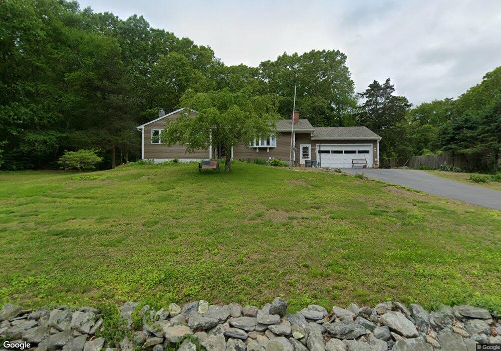
9 Branch Hill Rd Preston, CT 06365
Estimated Value: $346,000 - $456,000
3
Beds
3
Baths
1,315
Sq Ft
$298/Sq Ft
Est. Value
About This Home
This home is located at 9 Branch Hill Rd, Preston, CT 06365 and is currently estimated at $391,311, approximately $297 per square foot. 9 Branch Hill Rd is a home located in New London County.
Ownership History
Date
Name
Owned For
Owner Type
Purchase Details
Closed on
Jun 11, 2025
Sold by
Ludlow Phillip A and Ludlow Sheryl A
Bought by
Ludlow Phillip W and Minei Sarah
Current Estimated Value
Home Financials for this Owner
Home Financials are based on the most recent Mortgage that was taken out on this home.
Original Mortgage
$237,200
Outstanding Balance
$231,419
Interest Rate
6.03%
Mortgage Type
Future Advance Clause Open End Mortgage
Estimated Equity
$159,892
Purchase Details
Closed on
Jul 11, 1978
Bought by
Ludlow Phillip A and Ludlow Sheryl A
Create a Home Valuation Report for This Property
The Home Valuation Report is an in-depth analysis detailing your home's value as well as a comparison with similar homes in the area
Home Values in the Area
Average Home Value in this Area
Purchase History
| Date | Buyer | Sale Price | Title Company |
|---|---|---|---|
| Ludlow Phillip W | -- | -- | |
| Ludlow Phillip W | -- | -- | |
| Ludlow Phillip A | $53,500 | -- |
Source: Public Records
Mortgage History
| Date | Status | Borrower | Loan Amount |
|---|---|---|---|
| Open | Ludlow Phillip W | $237,200 | |
| Closed | Ludlow Phillip W | $237,200 | |
| Previous Owner | Ludlow Phillip A | $140,000 |
Source: Public Records
Tax History
| Year | Tax Paid | Tax Assessment Tax Assessment Total Assessment is a certain percentage of the fair market value that is determined by local assessors to be the total taxable value of land and additions on the property. | Land | Improvement |
|---|---|---|---|---|
| 2025 | $4,632 | $184,450 | $53,900 | $130,550 |
| 2024 | $4,311 | $184,450 | $53,900 | $130,550 |
| 2023 | $4,233 | $184,450 | $53,900 | $130,550 |
| 2022 | $3,608 | $129,400 | $46,900 | $82,500 |
| 2021 | $3,486 | $129,400 | $46,900 | $82,500 |
| 2020 | $3,481 | $129,400 | $46,900 | $82,500 |
| 2019 | $3,420 | $129,400 | $46,900 | $82,500 |
| 2018 | $3,368 | $129,400 | $46,900 | $82,500 |
| 2017 | $3,641 | $151,700 | $46,900 | $104,800 |
| 2016 | $3,603 | $151,700 | $46,900 | $104,800 |
| 2015 | $3,489 | $151,700 | $46,900 | $104,800 |
| 2014 | $3,510 | $151,700 | $46,900 | $104,800 |
Source: Public Records
Map
Nearby Homes
- 31 Branch Hill Rd
- 381 Route 2
- 121 Watson Rd
- 15 Paster Rd
- 991 Shewville Rd
- 36 Route 2a
- 6 Lake of Isles Rd
- 4 Lake of Isles Rd
- 14 Abbey Rd
- 16 Abbey Rd
- 36 NW Corner Rd
- 57 NW Corner Rd
- 104 Route 2a
- 19 Cedarcrest Dr
- 25 Coachman Pike
- 32 Krug Rd
- 59 Long Society Rd
- 0 Lake of Isles Rd Unit 170371521
- 105 Stonington Rd
- 11 Willow Ln
- 13 Branch Hill Rd
- 7 Branch Hill Rd
- 15 Branch Hill Rd
- 14 Doolittle Rd
- 5 Branch Hill Rd
- 19 Branch Hill Rd
- 2 Branch Hill Rd
- 8 Doolittle Rd
- 18 Doolittle Rd
- 4 Branch Hill Rd
- 21 Branch Hill Rd
- 20 Doolittle Rd
- 11 Doolittle Rd
- 13 Doolittle Rd
- 6 Branch Hill Rd
- 9 Doolittle Rd
- 17 Doolittle Rd
- 25 Branch Hill Rd
- 26 Doolittle Rd
- 5 Doolittle Rd
Your Personal Tour Guide
Ask me questions while you tour the home.