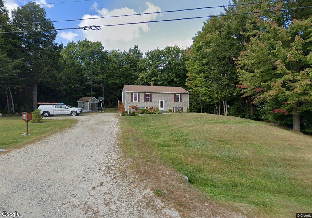
9 Briarwood Dr New Gloucester, ME 04260
Estimated Value: $408,942 - $494,000
4
Beds
3
Baths
1,144
Sq Ft
$397/Sq Ft
Est. Value
About This Home
This home is located at 9 Briarwood Dr, New Gloucester, ME 04260 and is currently estimated at $454,236, approximately $397 per square foot. 9 Briarwood Dr is a home located in Cumberland County with nearby schools including Gray-New Gloucester High School.
Ownership History
Date
Name
Owned For
Owner Type
Purchase Details
Closed on
Oct 17, 2005
Sold by
Fortin Home Constr Inc
Bought by
Caldwell Rori L and Caldwell Marion E
Current Estimated Value
Home Financials for this Owner
Home Financials are based on the most recent Mortgage that was taken out on this home.
Original Mortgage
$200,000
Outstanding Balance
$105,872
Interest Rate
5.78%
Mortgage Type
Purchase Money Mortgage
Estimated Equity
$348,364
Create a Home Valuation Report for This Property
The Home Valuation Report is an in-depth analysis detailing your home's value as well as a comparison with similar homes in the area
Home Values in the Area
Average Home Value in this Area
Purchase History
| Date | Buyer | Sale Price | Title Company |
|---|---|---|---|
| Caldwell Rori L | -- | -- |
Source: Public Records
Mortgage History
| Date | Status | Borrower | Loan Amount |
|---|---|---|---|
| Open | Caldwell Rori L | $200,000 |
Source: Public Records
Tax History Compared to Growth
Tax History
| Year | Tax Paid | Tax Assessment Tax Assessment Total Assessment is a certain percentage of the fair market value that is determined by local assessors to be the total taxable value of land and additions on the property. | Land | Improvement |
|---|---|---|---|---|
| 2025 | $3,582 | $231,560 | $76,800 | $154,760 |
| 2024 | $3,448 | $231,560 | $76,800 | $154,760 |
| 2023 | $3,309 | $231,560 | $76,800 | $154,760 |
| 2022 | $3,196 | $231,560 | $76,800 | $154,760 |
| 2021 | $3,196 | $231,560 | $76,800 | $154,760 |
| 2020 | $3,161 | $231,560 | $76,800 | $154,760 |
| 2019 | $2,743 | $162,300 | $58,800 | $103,500 |
| 2018 | $2,564 | $162,300 | $58,800 | $103,500 |
| 2017 | $2,532 | $162,300 | $58,800 | $103,500 |
| 2016 | $2,386 | $162,300 | $58,800 | $103,500 |
| 2015 | $2,378 | $162,300 | $58,800 | $103,500 |
| 2014 | $2,353 | $162,300 | $58,800 | $103,500 |
| 2013 | $2,183 | $162,300 | $58,800 | $103,500 |
Source: Public Records
Map
Nearby Homes
- 155 & 151 Gloucester Hill Rd
- 0018-C Gloucester Hill Rd
- 160 Gloucester Hill Rd
- 29 Rockwood Dr
- 0 Mayall
- 10 Cobbs Bridge Rd
- 22 Shaw Rd
- TBD Targett Rd
- 271 Bennett Rd
- 200 Woodman Rd
- 164 Intervale Rd
- 244 Allen Rd
- 284 Allen Rd
- 026-01 Dow Ln
- 27 Callaway Dr Unit 27A
- 27 Callaway Dr Unit 27B
- 24 Swamp Rd
- 17 Callaway Dr Unit 17
- 1 Colley Hill Rd
- 343 Shaker Rd