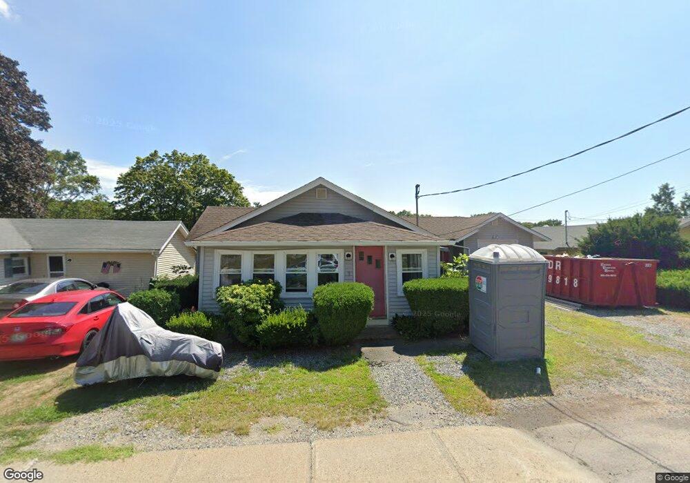
9 Bridge St Kittery, ME 03904
Estimated Value: $566,757 - $696,000
2
Beds
3
Baths
1,412
Sq Ft
$442/Sq Ft
Est. Value
About This Home
This home is located at 9 Bridge St, Kittery, ME 03904 and is currently estimated at $623,439, approximately $441 per square foot. 9 Bridge St is a home with nearby schools including Shapleigh School, Horace Mitchell Primary School, and Robert W Traip Academy.
Ownership History
Date
Name
Owned For
Owner Type
Purchase Details
Closed on
Oct 3, 2013
Sold by
Agba Chibueze O
Bought by
Nneka A Agba Lt
Current Estimated Value
Purchase Details
Closed on
Sep 16, 2005
Sold by
Aharonian Miriam J
Bought by
Agba Chibueze O
Home Financials for this Owner
Home Financials are based on the most recent Mortgage that was taken out on this home.
Original Mortgage
$304,000
Interest Rate
5.84%
Mortgage Type
Commercial
Create a Home Valuation Report for This Property
The Home Valuation Report is an in-depth analysis detailing your home's value as well as a comparison with similar homes in the area
Home Values in the Area
Average Home Value in this Area
Purchase History
| Date | Buyer | Sale Price | Title Company |
|---|---|---|---|
| Nneka A Agba Lt | -- | -- | |
| Agba Chibueze O | -- | -- |
Source: Public Records
Mortgage History
| Date | Status | Borrower | Loan Amount |
|---|---|---|---|
| Closed | Agba Chibueze O | $304,000 |
Source: Public Records
Tax History
| Year | Tax Paid | Tax Assessment Tax Assessment Total Assessment is a certain percentage of the fair market value that is determined by local assessors to be the total taxable value of land and additions on the property. | Land | Improvement |
|---|---|---|---|---|
| 2024 | $4,753 | $334,700 | $136,500 | $198,200 |
| 2023 | $4,555 | $334,700 | $136,500 | $198,200 |
| 2022 | $4,512 | $334,700 | $136,500 | $198,200 |
| 2021 | $4,351 | $334,700 | $136,500 | $198,200 |
| 2020 | $17,377 | $334,700 | $136,500 | $198,200 |
| 2019 | $5,979 | $293,300 | $145,000 | $148,300 |
| 2018 | $4,901 | $291,700 | $145,000 | $146,700 |
| 2017 | $1,309 | $291,700 | $145,000 | $146,700 |
| 2016 | $0 | $291,700 | $145,000 | $146,700 |
| 2015 | $4,571 | $291,700 | $145,000 | $146,700 |
| 2014 | $4,527 | $291,700 | $145,000 | $146,700 |
| 2013 | $4,440 | $291,700 | $145,000 | $146,700 |
Source: Public Records
Map
Nearby Homes
- 27 Oak Terrace
- 25 Oak Terrace
- 30-3 Regency Cir Unit 3
- 35 Badgers Island W Unit 203
- 35 Badgers Island W Unit 301
- 35 Badgers Island W Unit 302
- 35 Badgers Island W Unit 103
- 29 Main St
- 10 Bayview Ln
- 5 Spinney Way Unit 9
- 93 High St Unit 4
- 137 Daniel St Unit D302
- 77 Hanover St Unit 3
- 77 Hanover St Unit 12
- 36 State St
- 20 Ladd St Unit K
- 66 State St Unit 202
- 80 State St Unit 302
- 159 State St Unit 1b
- 18 Congress St Unit 302
- 7 Bridge St
- 12 Bridge St
- 12 Bridge St Unit 1
- 12 Bridge St Unit 2
- 12 Bridge St Unit 2
- 12 Bridge St Unit 1
- 10 Bridge St
- 18 Bridge St
- 8 Bridge St
- 19 Bridge St Unit 2
- 19 Bridge St Unit 4
- 19 Bridge St Unit 5
- 19 Bridge St Unit 8
- 19 Bridge St Unit 3
- 19 Bridge St Unit 10
- 19 Bridge St Unit 9
- 19 Bridge St Unit 6
- 19 Bridge St Unit 6
- 19 Bridge St
- 19 Bridge St Unit 7
Your Personal Tour Guide
Ask me questions while you tour the home.