9 Bristol Rd Windham, ME 04062
Estimated Value: $582,836 - $627,000
3
Beds
3
Baths
1,804
Sq Ft
$336/Sq Ft
Est. Value
About This Home
This home is located at 9 Bristol Rd, Windham, ME 04062 and is currently estimated at $605,959, approximately $335 per square foot. 9 Bristol Rd is a home with nearby schools including Windham Primary School, Manchester School, and Windham Middle School.
Ownership History
Date
Name
Owned For
Owner Type
Purchase Details
Closed on
Jan 26, 2017
Sold by
Lavoie Building & Remodel
Bought by
Brown Matthew and Brown Maureen
Current Estimated Value
Home Financials for this Owner
Home Financials are based on the most recent Mortgage that was taken out on this home.
Original Mortgage
$316,350
Outstanding Balance
$258,446
Interest Rate
4.16%
Mortgage Type
New Conventional
Estimated Equity
$347,513
Purchase Details
Closed on
Jun 15, 2016
Sold by
Beardsley Craig F
Bought by
Lavioe Building & Remodel
Create a Home Valuation Report for This Property
The Home Valuation Report is an in-depth analysis detailing your home's value as well as a comparison with similar homes in the area
Home Values in the Area
Average Home Value in this Area
Purchase History
| Date | Buyer | Sale Price | Title Company |
|---|---|---|---|
| Brown Matthew | -- | -- | |
| Lavioe Building & Remodel | -- | -- |
Source: Public Records
Mortgage History
| Date | Status | Borrower | Loan Amount |
|---|---|---|---|
| Open | Brown Matthew | $316,350 |
Source: Public Records
Tax History
| Year | Tax Paid | Tax Assessment Tax Assessment Total Assessment is a certain percentage of the fair market value that is determined by local assessors to be the total taxable value of land and additions on the property. | Land | Improvement |
|---|---|---|---|---|
| 2024 | $6,305 | $549,700 | $128,300 | $421,400 |
| 2023 | $5,734 | $512,000 | $119,400 | $392,600 |
| 2022 | $5,278 | $454,600 | $106,400 | $348,200 |
| 2021 | $4,871 | $386,600 | $92,600 | $294,000 |
| 2020 | $5,175 | $345,000 | $81,300 | $263,700 |
| 2019 | $5,051 | $345,000 | $81,300 | $263,700 |
| 2018 | $4,751 | $313,000 | $73,200 | $239,800 |
| 2017 | $4,692 | $285,600 | $65,000 | $220,600 |
| 2016 | $4,473 | $284,900 | $64,300 | $220,600 |
| 2015 | $877 | $57,900 | $57,900 | $0 |
Source: Public Records
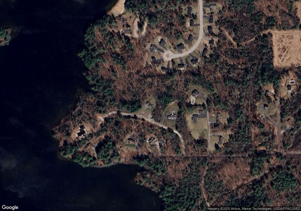
Map
Nearby Homes
- 215 N Gorham Rd
- 32 Middle Jam Rd
- 21 Shyannes Way
- 594 River Rd
- 81 N Gorham Rd
- 21 Cook Rd
- 18 Cook Rd
- 5 Cardinal Ln
- 404 Pope Rd
- 32 Patriot Place
- 8 Beaulieu Dr
- 55 Page Rd
- 6 Gilman Rd
- 34 Stoneridge Dr
- 324 Roosevelt Trail
- 236 Main St
- 0 Turning Leaf Dr Unit 1640377
- 12 Dolley Farm Rd Unit 6
- 42 Barnes Rd
- 103 Basin Rd
- Water- Bristol Road Water Lot
- water Bristol Rd Water Lot
- Water Bristol Rd
- Lot B Bristol Rd
- Lot A Bristol Rd
- 5 Bristol Rd
- 51 Dundee Rd
- 50 Sabatus Ln
- 53 Dundee Rd
- 10 Hidden Pines Dr
- 6 Hidden Pines Dr
- 48 Sabatus Ln
- Lot 2 Bristol Rd
- Lot 2 Bristol Rd
- 51 Sabatus Ln
- 0 Bristol Rd Unit 1515170
- Lot 3 Bristol Rd
- Lot 1 Bristol Rd
- 46 Sabatus Ln
- 41 Sabatus Rd
Your Personal Tour Guide
Ask me questions while you tour the home.