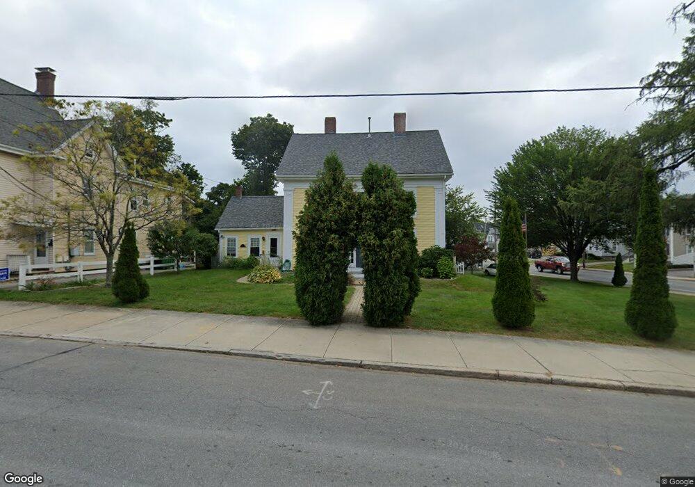
9 Broad St Unit B Marlborough, MA 01752
French Hill NeighborhoodEstimated Value: $398,000 - $435,000
3
Beds
1
Bath
1,840
Sq Ft
$229/Sq Ft
Est. Value
About This Home
This home is located at 9 Broad St Unit B, Marlborough, MA 01752 and is currently estimated at $420,502, approximately $228 per square foot. 9 Broad St Unit B is a home located in Middlesex County with nearby schools including Marlborough High School, Advanced Math & Science Academy, and New Covenant Christian School.
Ownership History
Date
Name
Owned For
Owner Type
Purchase Details
Closed on
Mar 1, 2006
Sold by
Whiting Wendy E
Bought by
Flores Alberto and Flores Catherine E
Current Estimated Value
Home Financials for this Owner
Home Financials are based on the most recent Mortgage that was taken out on this home.
Original Mortgage
$199,000
Outstanding Balance
$112,400
Interest Rate
6.16%
Mortgage Type
Purchase Money Mortgage
Estimated Equity
$308,102
Create a Home Valuation Report for This Property
The Home Valuation Report is an in-depth analysis detailing your home's value as well as a comparison with similar homes in the area
Home Values in the Area
Average Home Value in this Area
Purchase History
| Date | Buyer | Sale Price | Title Company |
|---|---|---|---|
| Flores Alberto | $249,000 | -- |
Source: Public Records
Mortgage History
| Date | Status | Borrower | Loan Amount |
|---|---|---|---|
| Open | Flores Alberto | $199,000 |
Source: Public Records
Tax History Compared to Growth
Tax History
| Year | Tax Paid | Tax Assessment Tax Assessment Total Assessment is a certain percentage of the fair market value that is determined by local assessors to be the total taxable value of land and additions on the property. | Land | Improvement |
|---|---|---|---|---|
| 2025 | $2,931 | $297,300 | $0 | $297,300 |
| 2024 | $2,774 | $270,900 | $0 | $270,900 |
| 2023 | $2,870 | $248,700 | $0 | $248,700 |
| 2022 | $2,970 | $226,400 | $0 | $226,400 |
| 2021 | $3,010 | $218,100 | $0 | $218,100 |
| 2020 | $2,975 | $209,800 | $0 | $209,800 |
| 2019 | $2,932 | $208,400 | $0 | $208,400 |
| 2018 | $2,907 | $198,700 | $0 | $198,700 |
| 2017 | $3,401 | $222,000 | $0 | $222,000 |
| 2016 | $3,405 | $222,000 | $0 | $222,000 |
| 2015 | $3,039 | $192,800 | $0 | $192,800 |
Source: Public Records
Map
Nearby Homes
- 30 Broad St Unit 104
- 8 Saint Mary's Way Unit 8
- 11 Paris St
- 76 Broad St
- 30A Winter Ave
- 156 Chestnut St
- 38 Gleason Street Extension
- 72 Chestnut St
- 32 Water St
- 118 Elm St
- 61 Fairmount St Unit 11
- 52 Norwood St
- 29 Elm St
- 272 Lincoln St Unit 101
- 272 Lincoln St Unit 103
- 272 Lincoln St Unit 104
- 2 Adams St
- 27 Jefferson St
- 27 Jefferson St Unit 204
- 240 Lincoln St
- 9 Broad St Unit 2
- 9 Broad St Unit A
- 9 Broad St
- 15 Broad St Unit 2L
- 15 Broad St
- 15 Broad St Unit 1R
- 24F Broad St Unit F 124
- 195A W Mains St
- 19 Broad St Unit 5
- 195 W Main St Unit 5
- 195 W Main St
- 195 W Main St Unit 2
- 195 W Main St Unit 1
- 195 W Main St Unit 197
- 195 W Main St Unit A
- 21 Broad St
- 21 Broad St Unit 1
- 21 Broad St Unit 2
- 193 W Main St
- 25 Broad St