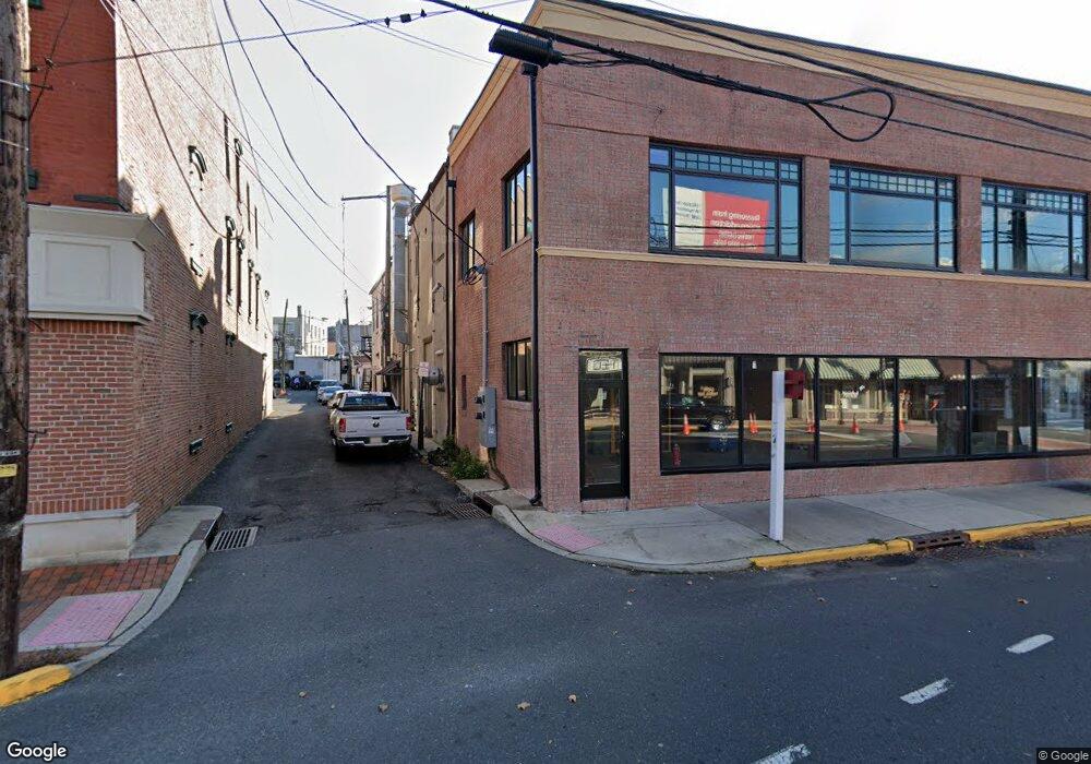
9 Broad St Red Bank, NJ 07701
Estimated Value: $1,606,664
--
Bed
--
Bath
2,800
Sq Ft
$574/Sq Ft
Est. Value
About This Home
This home is located at 9 Broad St, Red Bank, NJ 07701 and is currently priced at $1,606,664, approximately $573 per square foot. 9 Broad St is a home located in Monmouth County with nearby schools including Red Bank Primary School, Red Bank Middle School, and Red Bank Regional High School.
Ownership History
Date
Name
Owned For
Owner Type
Purchase Details
Closed on
Mar 15, 2004
Sold by
Ninakon Llc
Bought by
17 Broad Street Red Bank Llc
Current Estimated Value
Purchase Details
Closed on
Jul 29, 1998
Sold by
Seldin Paul
Bought by
Konvitz Norman and Konvitz Nina
Create a Home Valuation Report for This Property
The Home Valuation Report is an in-depth analysis detailing your home's value as well as a comparison with similar homes in the area
Home Values in the Area
Average Home Value in this Area
Purchase History
| Date | Buyer | Sale Price | Title Company |
|---|---|---|---|
| 17 Broad Street Red Bank Llc | $775,000 | -- | |
| Konvitz Norman | $325,000 | -- |
Source: Public Records
Tax History Compared to Growth
Tax History
| Year | Tax Paid | Tax Assessment Tax Assessment Total Assessment is a certain percentage of the fair market value that is determined by local assessors to be the total taxable value of land and additions on the property. | Land | Improvement |
|---|---|---|---|---|
| 2025 | $23,868 | $1,448,100 | $1,025,600 | $422,500 |
| 2024 | $19,285 | $1,207,900 | $797,400 | $410,500 |
| 2023 | $19,285 | $963,300 | $564,900 | $398,400 |
| 2022 | $20,408 | $915,700 | $564,900 | $350,800 |
| 2021 | $20,408 | $871,000 | $538,000 | $333,000 |
| 2020 | $20,654 | $867,800 | $538,000 | $329,800 |
| 2019 | $19,998 | $861,600 | $538,000 | $323,600 |
| 2018 | $19,427 | $843,200 | $538,000 | $305,200 |
| 2017 | $18,666 | $842,700 | $538,000 | $304,700 |
| 2016 | $18,523 | $837,000 | $538,000 | $299,000 |
| 2015 | $18,233 | $850,000 | $531,300 | $318,700 |
| 2014 | $17,145 | $850,000 | $531,300 | $318,700 |
Source: Public Records
Map
Nearby Homes
- 4 Boat Club Ct Unit 3E
- 23 Wallace St Unit 306
- 21 Washington St
- 65 Washington St
- 69 Washington St
- 82 Linden Place
- 44 Hudson Ave
- 48 Hudson Ave
- 58 Hudson Ave
- 28 Riverside Ave Unit 2G
- 28 Riverside Ave Unit 4g
- 28 Riverside Ave Unit 10h
- 28 Riverside Ave Unit 1G
- 70 Hudson Ave
- 59 Peters Place
- 4 Manor Dr
- 17 Leroy Place Unit 1A
- 17 Leroy Place Unit 2B
- 59 Leroy Place
- 130 Bodman Place Unit 15
- 7 Broad St Unit 4
- 7 Broad St Unit 3
- 7 Broad St Unit 2
- 7 Broad St Unit 1
- 7 Broad St
- 3 Broad St
- 1 Broad St
- 15 Broad St
- 15 Broad St Unit 2NDFL
- 15 Broad St Unit 1FL
- 8 E Front St Unit 305
- 8 E Front St Unit 301
- 8 E Front St Unit 203
- 8 E Front St Unit 302
- 8 E Front St Unit 202
- 8 E Front St Unit 205
- 8 E Front St Unit 201
- 8 E Front St Unit 303
- 8 E Front St Unit 204
- 23 Broad St Unit 21