9 Brookhurst Ln W Meredith, NH 03253
Estimated Value: $590,000 - $836,000
1
Bed
1
Bath
840
Sq Ft
$865/Sq Ft
Est. Value
About This Home
This home is located at 9 Brookhurst Ln W, Meredith, NH 03253 and is currently estimated at $726,938, approximately $865 per square foot. 9 Brookhurst Ln W is a home located in Belknap County with nearby schools including Inter-Lakes Elementary School, Sandwich Central School, and Inter-Lakes Middle High School.
Ownership History
Date
Name
Owned For
Owner Type
Purchase Details
Closed on
Sep 30, 1994
Bought by
Barone Joseph and Barone Donna M
Current Estimated Value
Create a Home Valuation Report for This Property
The Home Valuation Report is an in-depth analysis detailing your home's value as well as a comparison with similar homes in the area
Home Values in the Area
Average Home Value in this Area
Purchase History
We collect this data history from publicly available records. To have your information removed, we recommend requesting removal directly through your county’s website.
| Date | Buyer | Sale Price | Title Company |
|---|---|---|---|
| Barone Joseph | $125,000 | -- |
Source: Public Records
Mortgage History
We collect this data history from publicly available records. To have your information removed, we recommend requesting removal directly through your county’s website.
| Date | Status | Borrower | Loan Amount |
|---|---|---|---|
| Open | Barone Joseph | $200,000 | |
| Closed | Barone Joseph | $75,000 |
Source: Public Records
Tax History
| Year | Tax Paid | Tax Assessment Tax Assessment Total Assessment is a certain percentage of the fair market value that is determined by local assessors to be the total taxable value of land and additions on the property. | Land | Improvement |
|---|---|---|---|---|
| 2025 | $7,705 | $725,500 | $550,200 | $175,300 |
| 2024 | $7,444 | $725,500 | $550,200 | $175,300 |
| 2023 | $7,175 | $725,500 | $550,200 | $175,300 |
| 2022 | $5,506 | $394,100 | $257,900 | $136,200 |
| 2021 | $5,278 | $393,000 | $257,900 | $135,100 |
| 2020 | $5,510 | $393,000 | $257,900 | $135,100 |
| 2019 | $5,282 | $332,400 | $208,300 | $124,100 |
| 2018 | $5,192 | $332,400 | $208,300 | $124,100 |
| 2016 | $4,739 | $304,000 | $192,200 | $111,800 |
| 2015 | $4,397 | $289,300 | $192,200 | $97,100 |
| 2014 | $4,290 | $289,300 | $192,200 | $97,100 |
| 2013 | $4,169 | $289,300 | $192,200 | $97,100 |
Source: Public Records
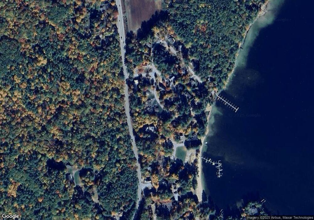
Map
Nearby Homes
- 69 Butterfield Rd
- 24 Dew Point Ln
- 122 Coe Hill Rd
- 320 Redding Ln
- 78 Lake Shore Dr Unit 14
- 14 Lake Shore Dr
- 14 Lake Shore Dr Unit G
- 38 Lake Shore Dr Unit 10
- 00 Whittier Hwy Unit 8
- 9 Kelsea Ave
- 15 Kelsea Ave
- 22 Tiger Trail
- 36 Tiger Trail
- 20 Fortsalong Rd
- 30 Leopards Leap
- 145 Hanson Dr
- 20 True Rd Unit 52
- 20 True Rd Unit 101
- 20 True Rd Unit 73
- 20 True Rd Unit 93
- 11 Brookhurst Ln W
- 24 Patrician Shores Cir
- 7 Brookhurst Ln W
- 4 Anderson Rd
- Lot 22 Brookhurst Ln W
- 357 Nh Route 25
- 5 Beach Club Ln
- 5 Brookhurst Ln W
- 15 Brookhurst Ln W
- 15 Brookhurst West + Dock
- 7 Beach Club Ln
- 3 Beach Club Ln
- 6 Anderson Rd
- 3 Brookhurst Ln W
- 1 Brookhurst Ln E
- 17 Brookhurst Ln W
- 8 Anderson Rd
- 6 Beach Club Ln
- 10 Anderson Rd
- 4 Beach Club Ln
Your Personal Tour Guide
Ask me questions while you tour the home.