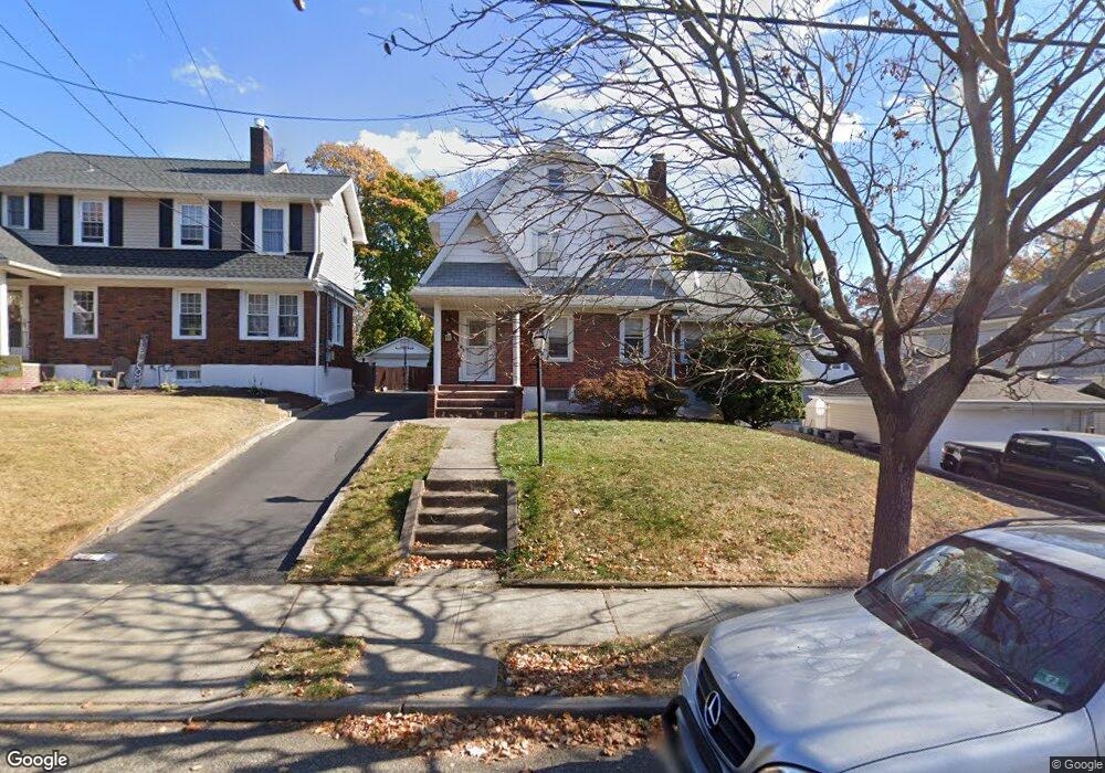
9 Brookside Ave Hawthorne, NJ 07506
Estimated Value: $560,000 - $600,000
--
Bed
--
Bath
1,484
Sq Ft
$391/Sq Ft
Est. Value
About This Home
This home is located at 9 Brookside Ave, Hawthorne, NJ 07506 and is currently estimated at $580,463, approximately $391 per square foot. 9 Brookside Ave is a home located in Passaic County with nearby schools including Hawthorne High School, St Anthony School, and Al-Hikmah Elementary School.
Ownership History
Date
Name
Owned For
Owner Type
Purchase Details
Closed on
Jul 22, 2013
Sold by
Derier Ronald A
Bought by
Allwaters Adler and Allwaters Nadege
Current Estimated Value
Purchase Details
Closed on
Mar 20, 2000
Sold by
Derier Ronald A and Norton Madonna M
Bought by
Derier Ronald A
Purchase Details
Closed on
Dec 5, 1997
Sold by
Brautigam James M and Brautigam Karen R
Bought by
Lineweaver Thomas B and Lineweaver Gwendolyn
Home Financials for this Owner
Home Financials are based on the most recent Mortgage that was taken out on this home.
Original Mortgage
$150,000
Interest Rate
7.14%
Create a Home Valuation Report for This Property
The Home Valuation Report is an in-depth analysis detailing your home's value as well as a comparison with similar homes in the area
Home Values in the Area
Average Home Value in this Area
Purchase History
| Date | Buyer | Sale Price | Title Company |
|---|---|---|---|
| Allwaters Adler | $329,000 | None Available | |
| Derier Ronald A | $15,000 | -- | |
| Lineweaver Thomas B | $205,000 | -- |
Source: Public Records
Mortgage History
| Date | Status | Borrower | Loan Amount |
|---|---|---|---|
| Previous Owner | Lineweaver Thomas B | $150,000 |
Source: Public Records
Tax History Compared to Growth
Tax History
| Year | Tax Paid | Tax Assessment Tax Assessment Total Assessment is a certain percentage of the fair market value that is determined by local assessors to be the total taxable value of land and additions on the property. | Land | Improvement |
|---|---|---|---|---|
| 2025 | $10,461 | $343,900 | $167,900 | $176,000 |
| 2024 | $10,317 | $343,900 | $167,900 | $176,000 |
| 2022 | $10,146 | $343,900 | $167,900 | $176,000 |
| 2021 | $9,946 | $343,900 | $167,900 | $176,000 |
| 2020 | $9,805 | $343,900 | $167,900 | $176,000 |
| 2019 | $9,748 | $163,100 | $82,000 | $81,100 |
| 2018 | $9,536 | $163,100 | $82,000 | $81,100 |
| 2017 | $9,380 | $163,100 | $82,000 | $81,100 |
| 2016 | $9,249 | $163,100 | $82,000 | $81,100 |
| 2015 | $9,140 | $163,100 | $82,000 | $81,100 |
| 2014 | $8,765 | $163,100 | $82,000 | $81,100 |
Source: Public Records
Map
Nearby Homes
- 23 Brookside Ave
- 34 Brookside Ave
- 510 Goffle Rd
- 105 Brookside Ave
- 75 Mazur Place
- 164 Diamond Bridge Ave Unit 18
- 151 South Ave
- 185 South Ave
- 118 May St
- 63 MacFarlan Ave
- 63 Disepo Ave
- 274 Goffle Rd
- 72 Franklin Ave
- 40 N 19th St
- 80 Elberon Ave
- 84 Washington Ave
- 5 Carla Ct
- 155 Washington Ave
- 21 Hawthorne Ave
- 13 Brookside Ave
- 59 Diamond Bridge Ave
- 55 Diamond Bridge Ave
- 17 Brookside Ave
- 65 Diamond Bridge Ave
- 47 Diamond Bridge Ave
- 14 Brookside Ave
- 21 Brookside Ave
- 18 Brookside Ave
- 10 Brookside Ave
- 10 Brookside Ave Unit 2
- 10 Bamford Ave
- 20 Brookside Ave
- 14 Bamford Ave
- 22 Brookside Ave
- 25 Brookside Ave
- 43 Diamond Bridge Ave
- 18 Bamford Ave
- 45 Diamond Bridge Ave
- 26 Brookside Ave