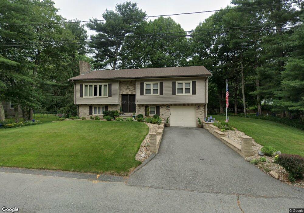
9 Brookside Dr Acushnet, MA 02743
Estimated Value: $585,464 - $672,000
3
Beds
1
Bath
2,285
Sq Ft
$273/Sq Ft
Est. Value
About This Home
This home is located at 9 Brookside Dr, Acushnet, MA 02743 and is currently estimated at $623,866, approximately $273 per square foot. 9 Brookside Dr is a home located in Bristol County with nearby schools including Acushnet Elementary School, Albert F Ford Middle School, and Alma Del Mar Charter School.
Ownership History
Date
Name
Owned For
Owner Type
Purchase Details
Closed on
Dec 17, 2012
Sold by
Carreiro Maria A
Bought by
Maria A Carreiro Ft and Carreiro
Current Estimated Value
Purchase Details
Closed on
Jun 2, 1976
Bought by
Maria A Carreiro Ft
Create a Home Valuation Report for This Property
The Home Valuation Report is an in-depth analysis detailing your home's value as well as a comparison with similar homes in the area
Purchase History
| Date | Buyer | Sale Price | Title Company |
|---|---|---|---|
| Maria A Carreiro Ft | -- | -- | |
| Maria A Carreiro Ft | -- | -- |
Source: Public Records
Tax History
| Year | Tax Paid | Tax Assessment Tax Assessment Total Assessment is a certain percentage of the fair market value that is determined by local assessors to be the total taxable value of land and additions on the property. | Land | Improvement |
|---|---|---|---|---|
| 2025 | $50 | $460,400 | $122,400 | $338,000 |
| 2024 | $4,824 | $422,800 | $115,700 | $307,100 |
| 2023 | $4,397 | $366,400 | $100,100 | $266,300 |
| 2022 | $4,043 | $304,700 | $95,700 | $209,000 |
| 2021 | $4,081 | $295,100 | $95,700 | $199,400 |
| 2020 | $4,059 | $291,200 | $95,700 | $195,500 |
| 2019 | $4,132 | $291,400 | $97,900 | $193,500 |
| 2018 | $4,020 | $278,800 | $97,900 | $180,900 |
| 2017 | $3,907 | $270,600 | $97,900 | $172,700 |
| 2016 | $3,664 | $252,200 | $91,200 | $161,000 |
| 2015 | $3,393 | $237,600 | $91,200 | $146,400 |
Source: Public Records
Map
Nearby Homes
- 11 Brookside Dr
- 8 Brookside Dr
- 10 Brookside Dr
- 12 Green Meadow Dr
- 10 Green Meadow Dr
- 12 Brookside Dr
- 8 Green Meadow Dr
- 13 Brookside Dr
- 6 Brookside Dr
- 5 Brookside Dr
- 14 Green Meadow Dr
- 9 Green Meadow Dr
- 14 Brookside Dr
- 6 Green Meadow Dr
- 7 Green Meadow Dr
- 15 Brookside Dr
- 4 Brookside Dr
- 3 Brookside Dr
- 16 Green Meadow Dr
- 5 Green Meadow Dr
Your Personal Tour Guide
Ask me questions while you tour the home.