9 Brookside Rd Collegeville, PA 19426
Perkiomen Township NeighborhoodEstimated Value: $794,000 - $923,000
4
Beds
5
Baths
3,427
Sq Ft
$256/Sq Ft
Est. Value
About This Home
This home is located at 9 Brookside Rd, Collegeville, PA 19426 and is currently estimated at $877,274, approximately $255 per square foot. 9 Brookside Rd is a home located in Montgomery County with nearby schools including Evergreen Elementary School and Perkiomen Valley Middle School East.
Ownership History
Date
Name
Owned For
Owner Type
Purchase Details
Closed on
Oct 15, 2007
Sold by
Capers William and Capers Dana
Bought by
Pang Katie J and Pang Stephen T
Current Estimated Value
Home Financials for this Owner
Home Financials are based on the most recent Mortgage that was taken out on this home.
Original Mortgage
$25,000
Outstanding Balance
$15,754
Interest Rate
6.39%
Estimated Equity
$861,520
Purchase Details
Closed on
Sep 4, 2002
Sold by
Theocles Arthur and Theocles Julie
Bought by
Capers Dana and Capers William
Purchase Details
Closed on
Sep 17, 2001
Sold by
Gambone Bros Development Co
Bought by
Theocles Arthur and Theocles Julie
Create a Home Valuation Report for This Property
The Home Valuation Report is an in-depth analysis detailing your home's value as well as a comparison with similar homes in the area
Home Values in the Area
Average Home Value in this Area
Purchase History
| Date | Buyer | Sale Price | Title Company |
|---|---|---|---|
| Pang Katie J | $560,000 | None Available | |
| Capers Dana | $480,000 | -- | |
| Theocles Arthur | $345,404 | -- |
Source: Public Records
Mortgage History
| Date | Status | Borrower | Loan Amount |
|---|---|---|---|
| Open | Pang Katie J | $25,000 | |
| Open | Pang Katie J | $400,000 |
Source: Public Records
Tax History Compared to Growth
Tax History
| Year | Tax Paid | Tax Assessment Tax Assessment Total Assessment is a certain percentage of the fair market value that is determined by local assessors to be the total taxable value of land and additions on the property. | Land | Improvement |
|---|---|---|---|---|
| 2025 | $13,316 | $315,700 | $55,420 | $260,280 |
| 2024 | $13,316 | $315,700 | $55,420 | $260,280 |
| 2023 | $12,849 | $315,700 | $55,420 | $260,280 |
| 2022 | $12,559 | $315,700 | $55,420 | $260,280 |
| 2021 | $12,360 | $315,700 | $55,420 | $260,280 |
| 2020 | $12,056 | $315,700 | $55,420 | $260,280 |
| 2019 | $11,902 | $315,700 | $55,420 | $260,280 |
| 2018 | $11,902 | $315,700 | $55,420 | $260,280 |
| 2017 | $11,387 | $315,700 | $55,420 | $260,280 |
| 2016 | $11,264 | $315,700 | $55,420 | $260,280 |
| 2015 | $11,034 | $315,700 | $55,420 | $260,280 |
| 2014 | $10,823 | $315,700 | $55,420 | $260,280 |
Source: Public Records
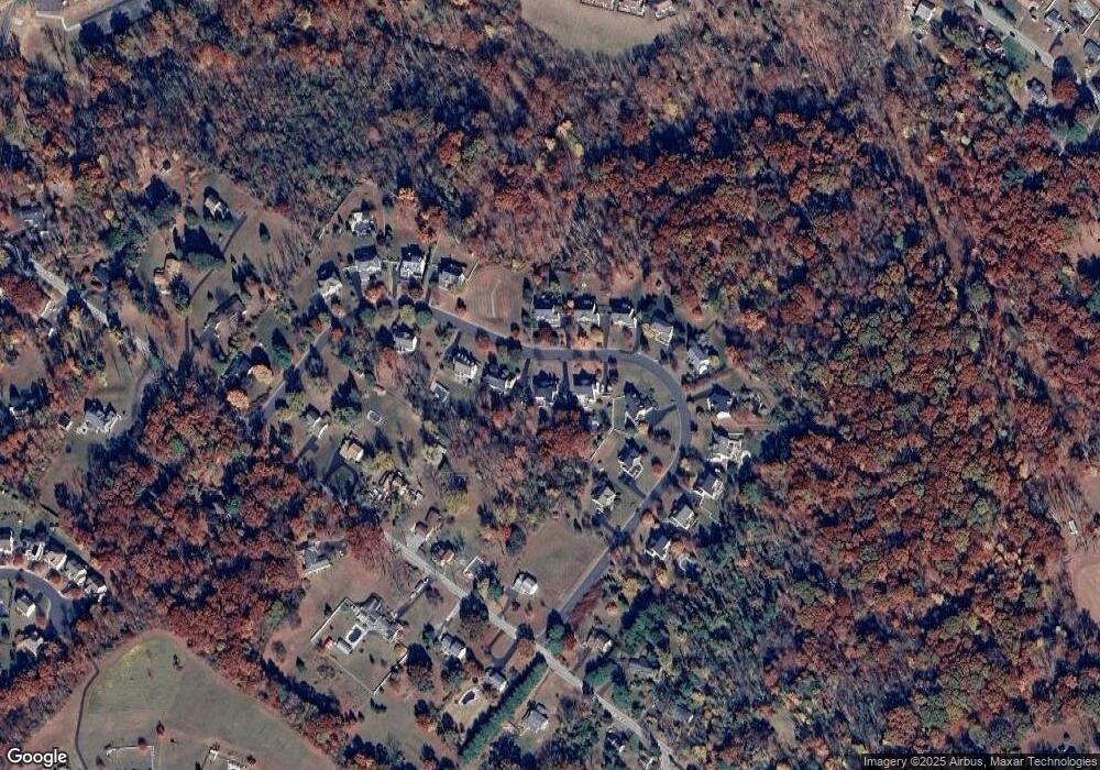
Map
Nearby Homes
- 350 Bridge St
- 0 Bridge St Unit PAMC2141050
- 231 Bridge St
- 391 Bridge St
- 52 Wartman Rd
- 629 Bridge St
- 630 Bridge St
- 781 Martingale Rd
- 13 Wartman Rd
- 797 Martingale Rd
- 727 Martingale Rd
- 605 Stewart Rd
- 340 Wartman Rd
- 174 Maple Ave
- 162 Maple Ave
- 801 Welsh Rd
- 747 Gravel Pike
- 514 Gravel Pike
- 401 Cannonball Ct
- 405 Wartman Rd
- 11 Brookside Rd
- 7 Brookside Rd
- 20 Brookside Rd
- 13 Brookside Rd
- 18 Brookside Rd
- 5 Brookside Rd
- 3 Brookside Rd
- 16 Brookside Rd
- 1 Brookside Rd
- 14 Brookside Rd
- 24 Brookside Rd
- 15 Brookside Rd
- 162 Godshall Rd
- 12 Brookside Rd
- 22 Brookside Rd Unit A
- 26 Brookside Rd
- 8 Brookside Rd
- 10 Brookside Rd
- 180 Godshall Rd
- 120 Godshall Rd