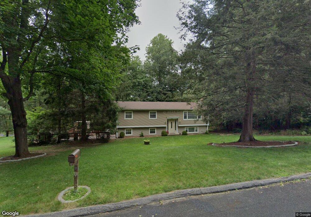
9 Bryant Ln Shelton, CT 06484
Estimated Value: $561,000 - $623,000
3
Beds
3
Baths
1,242
Sq Ft
$478/Sq Ft
Est. Value
About This Home
This home is located at 9 Bryant Ln, Shelton, CT 06484 and is currently estimated at $593,639, approximately $477 per square foot. 9 Bryant Ln is a home located in Fairfield County with nearby schools including Elizabeth Shelton Elementary School, Perry Hill School, and Shelton Intermediate School.
Ownership History
Date
Name
Owned For
Owner Type
Purchase Details
Closed on
Apr 3, 2006
Sold by
Dima Tudor and Dima George
Bought by
Michelson Deborah and Michelson John
Current Estimated Value
Home Financials for this Owner
Home Financials are based on the most recent Mortgage that was taken out on this home.
Original Mortgage
$332,800
Interest Rate
6.32%
Purchase Details
Closed on
Jun 29, 1998
Sold by
Ficano Leonard and Ficano Barbara
Bought by
Dima George and Dima Tudo
Purchase Details
Closed on
May 24, 1988
Sold by
Masso Frank
Bought by
Ficaro Leonard
Create a Home Valuation Report for This Property
The Home Valuation Report is an in-depth analysis detailing your home's value as well as a comparison with similar homes in the area
Home Values in the Area
Average Home Value in this Area
Purchase History
| Date | Buyer | Sale Price | Title Company |
|---|---|---|---|
| Michelson Deborah | $416,000 | -- | |
| Michelson Deborah | $416,000 | -- | |
| Dima George | $220,000 | -- | |
| Dima George | $220,000 | -- | |
| Ficaro Leonard | $201,000 | -- |
Source: Public Records
Mortgage History
| Date | Status | Borrower | Loan Amount |
|---|---|---|---|
| Open | Ficaro Leonard | $304,126 | |
| Closed | Ficaro Leonard | $332,800 |
Source: Public Records
Tax History Compared to Growth
Tax History
| Year | Tax Paid | Tax Assessment Tax Assessment Total Assessment is a certain percentage of the fair market value that is determined by local assessors to be the total taxable value of land and additions on the property. | Land | Improvement |
|---|---|---|---|---|
| 2025 | $5,003 | $265,860 | $98,000 | $167,860 |
| 2024 | $5,099 | $265,860 | $98,000 | $167,860 |
| 2023 | $4,645 | $265,860 | $98,000 | $167,860 |
| 2022 | $4,645 | $265,860 | $98,000 | $167,860 |
| 2021 | $4,646 | $210,910 | $68,600 | $142,310 |
| 2020 | $0 | $210,910 | $68,600 | $142,310 |
| 2019 | $0 | $210,910 | $68,600 | $142,310 |
| 2017 | $4,684 | $210,910 | $68,600 | $142,310 |
| 2015 | $4,702 | $210,770 | $66,500 | $144,270 |
| 2014 | $4,702 | $210,770 | $66,500 | $144,270 |
Source: Public Records
Map
Nearby Homes
- 190 Thoreau Dr
- 80 Birchbank Rd
- 452 Roosevelt Dr
- 31 Meghan Ln
- 108 Webb Cir
- 30 E Village Rd
- 297 Loughlin Rd
- 3 Brookside Trail
- 68 E Village Rd
- 113 Squantuck Rd
- 95 Squantuck Rd
- 44 Block Farm Rd
- 256 Roosevelt Dr
- 14 Spruce Brook Rd
- 207 Roosevelt Dr
- 74 Big Horn Rd
- 19 Carriage Dr
- 0 Punkup Rd
- 6 Byron Place
- 96 Big Horn Rd