9 Cannon Ridge Dr Watertown, CT 06795
Estimated Value: $278,966 - $295,000
2
Beds
2
Baths
1,170
Sq Ft
$247/Sq Ft
Est. Value
About This Home
This home is located at 9 Cannon Ridge Dr, Watertown, CT 06795 and is currently estimated at $288,742, approximately $246 per square foot. 9 Cannon Ridge Dr is a home located in Litchfield County with nearby schools including John Trumbull Primary School, Swift Middle School, and Watertown High School.
Ownership History
Date
Name
Owned For
Owner Type
Purchase Details
Closed on
Oct 4, 1999
Sold by
Dukas Nicholas and Dukas Constanterea
Bought by
Travisano Diane
Current Estimated Value
Home Financials for this Owner
Home Financials are based on the most recent Mortgage that was taken out on this home.
Original Mortgage
$76,500
Interest Rate
7.85%
Mortgage Type
Purchase Money Mortgage
Create a Home Valuation Report for This Property
The Home Valuation Report is an in-depth analysis detailing your home's value as well as a comparison with similar homes in the area
Home Values in the Area
Average Home Value in this Area
Purchase History
| Date | Buyer | Sale Price | Title Company |
|---|---|---|---|
| Travisano Diane | $92,000 | -- |
Source: Public Records
Mortgage History
| Date | Status | Borrower | Loan Amount |
|---|---|---|---|
| Open | Travisano Diane | $50,000 | |
| Closed | Travisano Diane | $150,900 | |
| Closed | Travisano Diane | $76,500 |
Source: Public Records
Tax History Compared to Growth
Tax History
| Year | Tax Paid | Tax Assessment Tax Assessment Total Assessment is a certain percentage of the fair market value that is determined by local assessors to be the total taxable value of land and additions on the property. | Land | Improvement |
|---|---|---|---|---|
| 2025 | $4,534 | $150,920 | $0 | $150,920 |
| 2024 | $4,282 | $150,920 | $0 | $150,920 |
| 2023 | $3,251 | $88,200 | $0 | $88,200 |
| 2022 | $3,082 | $88,200 | $0 | $88,200 |
| 2021 | $3,048 | $88,200 | $0 | $88,200 |
| 2020 | $2,927 | $88,200 | $0 | $88,200 |
| 2019 | $2,927 | $88,200 | $0 | $88,200 |
| 2018 | $3,134 | $93,300 | $0 | $93,300 |
| 2017 | $2,974 | $93,300 | $0 | $93,300 |
| 2016 | $2,882 | $93,300 | $0 | $93,300 |
| 2015 | $2,808 | $93,300 | $0 | $93,300 |
| 2014 | $2,717 | $93,300 | $0 | $93,300 |
Source: Public Records
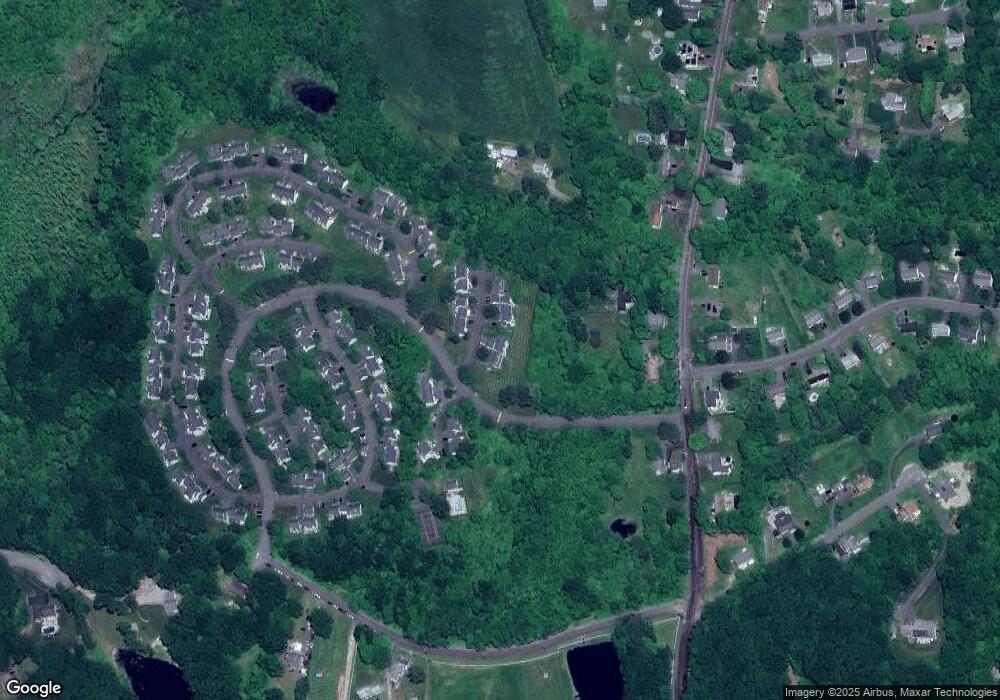
Map
Nearby Homes
- 109 Cannon Ridge Dr
- 29 Cannon Ridge Dr
- 128 Middlebury Rd
- 52 Wheeler St
- 117 Cherry Ave
- 245 Cherry Ave Unit I15
- 245 Cherry Ave Unit C13
- 0 French St Unit 170375652
- 7 Circuit Ave
- 25 Edward Ave
- 429 Main St
- 781 Hamilton Ave
- 37 Loop Rd
- 131 Greenwood St
- 34 Wentworth Ct Unit 13
- 48 Wentworth Ct Unit 9
- 42 Wentworth Ct Unit 11
- 65 Turnberry Ct Unit 15
- 7 Wentworth Ct Unit 6
- 19 Wentworth Ct Unit 8
- 11 Cannon Ridge Dr
- 11 Cannon Ridge Dr Unit 11
- 7 Cannon Ridge Dr
- 13 Cannon Ridge Dr
- 13 Cannon Ridge Dr Unit 13
- 8 Cannon Ridge Dr
- 8 Cannon Ridge Dr Unit 8
- 10 Cannon Ridge Dr
- 10 Cannon Ridge Dr Unit 10
- 12 Cannon Ridge Dr
- 12 Cannon Ridge Dr Unit 12
- 15 Cannon Ridge Dr
- 15 Cannon Ridge Dr Unit 15
- 17 Cannon Ridge Dr
- 17 Cannon Ridge Dr Unit 17
- 14 Cannon Ridge Dr
- 14 Cannon Ridge Dr Unit 14
- 1 Cannon Ridge Dr
- 16 Cannon Ridge Dr
- 16 Cannon Ridge Dr Unit 16