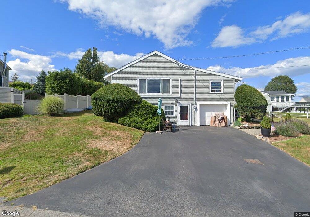
9 Capeview Rd Ipswich, MA 01938
Estimated Value: $617,192 - $857,000
2
Beds
1
Bath
1,074
Sq Ft
$661/Sq Ft
Est. Value
About This Home
This home is located at 9 Capeview Rd, Ipswich, MA 01938 and is currently estimated at $710,298, approximately $661 per square foot. 9 Capeview Rd is a home located in Essex County with nearby schools including Ipswich High School.
Ownership History
Date
Name
Owned For
Owner Type
Purchase Details
Closed on
Jul 10, 2024
Sold by
Frederick Kathleen J and Frederick Peter V
Bought by
Frederick Ft and Frederick
Current Estimated Value
Purchase Details
Closed on
May 31, 1991
Sold by
Neiforth Ruth W
Bought by
Frederick Peter
Home Financials for this Owner
Home Financials are based on the most recent Mortgage that was taken out on this home.
Original Mortgage
$153,000
Interest Rate
9.35%
Mortgage Type
Purchase Money Mortgage
Create a Home Valuation Report for This Property
The Home Valuation Report is an in-depth analysis detailing your home's value as well as a comparison with similar homes in the area
Home Values in the Area
Average Home Value in this Area
Purchase History
| Date | Buyer | Sale Price | Title Company |
|---|---|---|---|
| Frederick Ft | -- | None Available | |
| Frederick Ft | -- | None Available | |
| Frederick Ft | -- | None Available | |
| Frederick Peter | $180,000 | -- | |
| Frederick Peter V | $180,000 | -- |
Source: Public Records
Mortgage History
| Date | Status | Borrower | Loan Amount |
|---|---|---|---|
| Previous Owner | Frederick Peter V | $141,000 | |
| Previous Owner | Frederick Peter V | $50,000 | |
| Previous Owner | Frederick Peter V | $153,000 |
Source: Public Records
Tax History
| Year | Tax Paid | Tax Assessment Tax Assessment Total Assessment is a certain percentage of the fair market value that is determined by local assessors to be the total taxable value of land and additions on the property. | Land | Improvement |
|---|---|---|---|---|
| 2025 | $6,165 | $552,900 | $426,000 | $126,900 |
| 2024 | $6,252 | $549,400 | $421,500 | $127,900 |
| 2023 | $6,668 | $545,200 | $421,500 | $123,700 |
| 2022 | $5,889 | $457,900 | $346,900 | $111,000 |
| 2021 | $5,678 | $429,500 | $324,200 | $105,300 |
| 2020 | $5,827 | $415,600 | $317,800 | $97,800 |
| 2019 | $5,856 | $415,600 | $317,800 | $97,800 |
| 2018 | $5,393 | $378,700 | $283,700 | $95,000 |
| 2017 | $5,219 | $367,800 | $275,600 | $92,200 |
| 2016 | $5,318 | $358,100 | $265,900 | $92,200 |
| 2015 | $4,860 | $359,700 | $267,500 | $92,200 |
Source: Public Records
Map
Nearby Homes
- 63 N Ridge Rd
- 123 Jeffreys Neck Rd
- 23 Jeffrey's Neck Rd
- 57 East St
- 29 Summer St Unit 15
- 2 Heartbreak Hill
- 5 Primrose Ln Unit 5
- 64 County Rd Unit 1
- 11 Washington St Unit 11
- 11 Washington St Unit 8
- 11 Washington St Unit 7
- 11 Washington St Unit 5
- 11 Washington St Unit 4
- 59 Washington St
- 126-128 High St Unit 7
- 8 Cleveland Ave
- 9 Ryan Ave
- 2 Farley Ave
- 3 Hardy Ln
- 500 Colonial Dr Unit 5
Your Personal Tour Guide
Ask me questions while you tour the home.