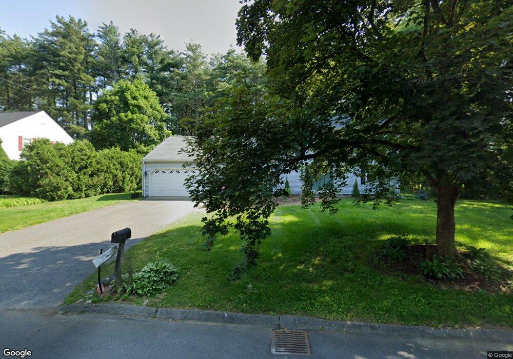
9 Captain Rd Wilbraham, MA 01095
Estimated Value: $500,393 - $679,000
4
Beds
3
Baths
2,262
Sq Ft
$257/Sq Ft
Est. Value
About This Home
This home is located at 9 Captain Rd, Wilbraham, MA 01095 and is currently estimated at $581,098, approximately $256 per square foot. 9 Captain Rd is a home located in Hampden County with nearby schools including Minnechaug Regional High School and Wilbraham & Monson Academy.
Ownership History
Date
Name
Owned For
Owner Type
Purchase Details
Closed on
Apr 13, 2023
Sold by
Julian Marcia B
Bought by
Julian Ft
Current Estimated Value
Purchase Details
Closed on
Dec 11, 1998
Sold by
Leonard Marc E and Leonard Jean A
Bought by
Julian Michael J and Julian Marcia B
Purchase Details
Closed on
Mar 9, 1990
Sold by
Han Byongie
Bought by
Leonard Marc E
Create a Home Valuation Report for This Property
The Home Valuation Report is an in-depth analysis detailing your home's value as well as a comparison with similar homes in the area
Home Values in the Area
Average Home Value in this Area
Purchase History
| Date | Buyer | Sale Price | Title Company |
|---|---|---|---|
| Julian Ft | -- | None Available | |
| Julian Michael J | $205,000 | -- | |
| Leonard Marc E | $221,000 | -- |
Source: Public Records
Mortgage History
| Date | Status | Borrower | Loan Amount |
|---|---|---|---|
| Previous Owner | Leonard Marc E | $85,000 | |
| Previous Owner | Leonard Marc E | $69,000 | |
| Previous Owner | Leonard Marc E | $157,600 |
Source: Public Records
Tax History
| Year | Tax Paid | Tax Assessment Tax Assessment Total Assessment is a certain percentage of the fair market value that is determined by local assessors to be the total taxable value of land and additions on the property. | Land | Improvement |
|---|---|---|---|---|
| 2025 | $7,976 | $446,100 | $100,800 | $345,300 |
| 2024 | $7,949 | $429,700 | $100,800 | $328,900 |
| 2023 | $7,343 | $392,700 | $100,800 | $291,900 |
| 2022 | $7,282 | $355,400 | $100,800 | $254,600 |
| 2021 | $6,842 | $298,000 | $107,800 | $190,200 |
| 2020 | $6,669 | $298,000 | $107,800 | $190,200 |
| 2019 | $6,496 | $298,000 | $107,800 | $190,200 |
| 2018 | $6,495 | $286,900 | $107,800 | $179,100 |
| 2017 | $6,312 | $286,900 | $107,800 | $179,100 |
| 2016 | $6,171 | $285,700 | $119,800 | $165,900 |
| 2015 | $5,965 | $285,700 | $119,800 | $165,900 |
Source: Public Records
Map
Nearby Homes
- 104 High Pine Cir
- 1 Aspen Dr
- 35 Lake Dr
- 4 Hillcrest Dr
- 46 Washington Rd
- 8 Patriot Ridge Ln
- 20 Old Orchard Rd
- 6 Teak Terrace Unit 24
- 3 Mohawk St
- 103 Sandalwood Dr Unit site 00
- 57 Sandalwood Dr Unit site 61
- 111 Sandalwood Dr Unit site 00
- 16 Maple St
- 84 Sandalwood Dr Unit site 00
- 474 Mountain Rd
- 36 Maple St
- 22 Brainard Rd
- 26 Sandalwood Dr
- 474-480 Mountain Rd
- 24 Lodge Ln Unit 24
Your Personal Tour Guide
Ask me questions while you tour the home.