9 Cedar Ln Unit RED Westport, MA 02790
Westport Point NeighborhoodEstimated Value: $748,309 - $928,000
2
Beds
--
Bath
2,947
Sq Ft
$286/Sq Ft
Est. Value
About This Home
This home is located at 9 Cedar Ln Unit RED, Westport, MA 02790 and is currently estimated at $842,103, approximately $285 per square foot. 9 Cedar Ln Unit RED is a home located in Bristol County with nearby schools including Alice A. Macomber Primary School, Westport Elementary School, and Westport Middle-High School.
Ownership History
Date
Name
Owned For
Owner Type
Purchase Details
Closed on
Jan 14, 2026
Sold by
Biltcliffe Mary L and Biltcliffe David A
Bought by
9 Red Cedar Road Nt
Current Estimated Value
Purchase Details
Closed on
May 12, 1989
Sold by
Santarpin Eleanor G
Bought by
Billcliffe Mary L
Create a Home Valuation Report for This Property
The Home Valuation Report is an in-depth analysis detailing your home's value as well as a comparison with similar homes in the area
Home Values in the Area
Average Home Value in this Area
Purchase History
| Date | Buyer | Sale Price | Title Company |
|---|---|---|---|
| 9 Red Cedar Road Nt | -- | -- | |
| Billcliffe Mary L | $175,000 | -- | |
| Billcliffe Mary L | $175,000 | -- |
Source: Public Records
Mortgage History
| Date | Status | Borrower | Loan Amount |
|---|---|---|---|
| Previous Owner | Billcliffe Mary L | $225,500 | |
| Previous Owner | Billcliffe Mary L | $200,000 | |
| Previous Owner | Billcliffe Mary L | $15,000 |
Source: Public Records
Tax History
| Year | Tax Paid | Tax Assessment Tax Assessment Total Assessment is a certain percentage of the fair market value that is determined by local assessors to be the total taxable value of land and additions on the property. | Land | Improvement |
|---|---|---|---|---|
| 2025 | $5,490 | $736,900 | $433,200 | $303,700 |
| 2024 | $5,396 | $698,000 | $401,300 | $296,700 |
| 2023 | $5,435 | $666,100 | $382,200 | $283,900 |
| 2022 | $4,636 | $633,200 | $382,200 | $251,000 |
| 2021 | $4,636 | $537,800 | $286,800 | $251,000 |
| 2020 | $4,437 | $526,300 | $275,300 | $251,000 |
| 2019 | $4,208 | $508,800 | $275,300 | $233,500 |
| 2018 | $3,613 | $442,200 | $207,300 | $234,900 |
| 2017 | $3,685 | $462,400 | $224,300 | $238,100 |
| 2016 | $3,601 | $455,200 | $243,600 | $211,600 |
| 2015 | $3,431 | $432,700 | $226,600 | $206,100 |
Source: Public Records
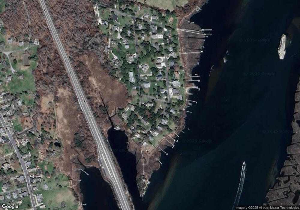
Map
Nearby Homes
- 2 Olin Howland Way
- 1 Puddingstone Cir
- 238-242 E Beach Rd
- Lot 2 Horseneck Rd
- 649 Horseneck Rd
- 255 John Dyer Rd
- 920 Drift Rd
- 332 Division Rd
- 25 Quail Trail
- 245 John Dyer Rd
- Lot 2E Horseneck Rd
- 17 Quail Trail
- 101 Adamsville Rd
- 2 Slades Farm Ln
- 837 Main Road & Lot 2
- 16 Wadsworth Ln
- 505 Long Hwy
- 8 Village Way
- 116 Amy Hart Path
- 18 Old Barn Rd
- 9 Red Cedar Rd
- 1 Osprey Ln
- 1 Osborn St Unit 1
- 4 Cedar Ln Unit RED
- 15 Cedar Ln Unit RED
- 0 E Shore Rd Unit 71256574
- 0 E Shore Rd Unit 71619746
- 10 E East Shore Rd Unit 10
- 15 Red Cedar Rd
- 48 E Shore Rd
- 22 Cedar Ln Unit RED
- 40 E Shore Rd
- 25 E Shore Rd
- 2 Cedar Ln Unit RED
- 54 E Shore Rd
- 6 Drift Rd
- 36 E Shore Rd
- 22 Red Cedar Rd
- Lot 130 Red Cedar Rd
- 126 E Shore Rd
Your Personal Tour Guide
Ask me questions while you tour the home.