9 Channel Cay Rd Key Largo, FL 33037
North Key Largo NeighborhoodEstimated Value: $4,198,000 - $9,722,014
3
Beds
3
Baths
3,594
Sq Ft
$2,116/Sq Ft
Est. Value
About This Home
This home is located at 9 Channel Cay Rd, Key Largo, FL 33037 and is currently estimated at $7,605,671, approximately $2,116 per square foot. 9 Channel Cay Rd is a home located in Monroe County with nearby schools including Key Largo School, Coral Shores High School, and The Academy At Ocean Reef.
Ownership History
Date
Name
Owned For
Owner Type
Purchase Details
Closed on
Sep 9, 2013
Sold by
Pease Louise M
Bought by
Pease Jennifer May and Louise M Pease Retained Florida Personal
Current Estimated Value
Purchase Details
Closed on
May 8, 2012
Sold by
Pease Louise M
Bought by
9 Channel Cay Llc
Purchase Details
Closed on
Dec 20, 2004
Sold by
Pease Louise M
Bought by
Pease Louise M
Purchase Details
Closed on
Feb 1, 1971
Bought by
9 Channel Cay Llc
Create a Home Valuation Report for This Property
The Home Valuation Report is an in-depth analysis detailing your home's value as well as a comparison with similar homes in the area
Home Values in the Area
Average Home Value in this Area
Purchase History
| Date | Buyer | Sale Price | Title Company |
|---|---|---|---|
| Pease Jennifer May | -- | Attorney | |
| 9 Channel Cay Llc | -- | Attorney | |
| 9 Channel Cay Llc | $4,480,000 | Attorney | |
| Pease Louise M | -- | -- | |
| 9 Channel Cay Llc | $104,500 | -- |
Source: Public Records
Tax History
| Year | Tax Paid | Tax Assessment Tax Assessment Total Assessment is a certain percentage of the fair market value that is determined by local assessors to be the total taxable value of land and additions on the property. | Land | Improvement |
|---|---|---|---|---|
| 2025 | $59,782 | $11,472,201 | $10,242,086 | $1,230,115 |
| 2024 | $55,168 | $11,187,931 | $9,945,276 | $1,242,655 |
| 2023 | $55,168 | $10,244,408 | $9,209,704 | $1,034,704 |
| 2022 | $44,176 | $7,436,529 | $6,396,464 | $1,040,065 |
| 2021 | $38,438 | $5,345,309 | $4,568,289 | $777,020 |
| 2020 | $38,797 | $5,354,840 | $4,568,289 | $786,551 |
| 2019 | $38,993 | $5,373,096 | $4,568,289 | $804,807 |
| 2018 | $37,785 | $5,084,935 | $4,271,479 | $813,456 |
| 2017 | $36,370 | $4,901,015 | $0 | $0 |
| 2016 | $38,483 | $4,913,551 | $0 | $0 |
| 2015 | $37,207 | $4,653,671 | $0 | $0 |
| 2014 | $35,557 | $4,385,712 | $0 | $0 |
Source: Public Records
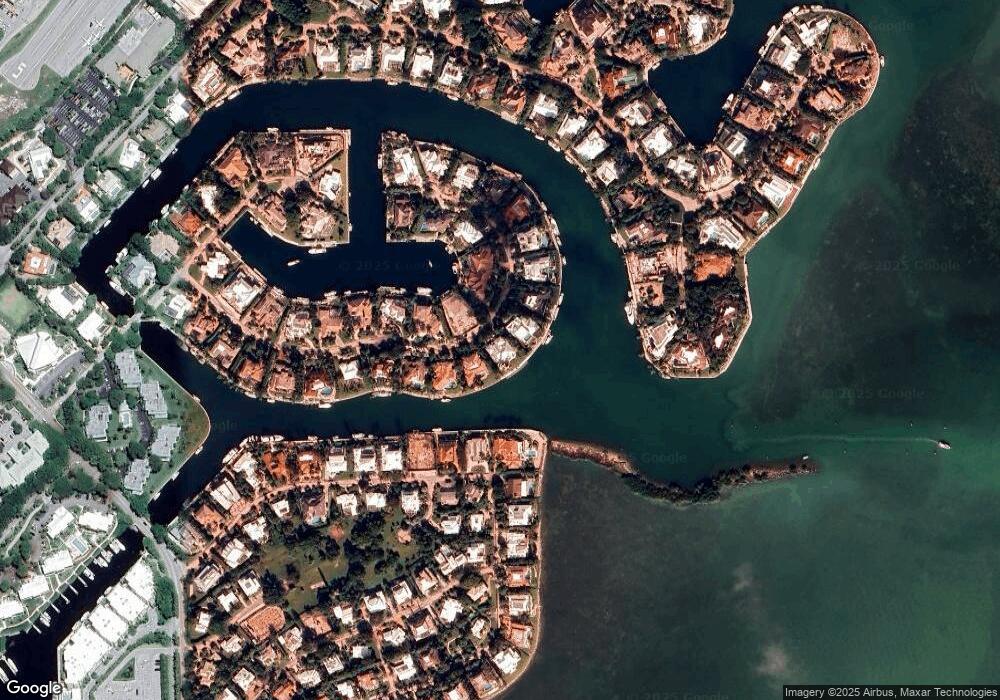
Map
Nearby Homes
- 64 Tarpon Ln
- 18 Anchor Dr Unit B
- 26 Marlin Ln Unit B
- 41 Pumpkin Cay Rd Unit A
- 10 Cannon Point
- 44 Card Sound Rd
- 22 S South Island Dr Dr
- 22 S Island Dr
- 365 S Harbor Dr
- 48 Thatch Palm Way
- 31 S Carysfort Cir
- 0 167th & Card Sound Rd Unit F10511744
- 500 Burton Dr Unit 3310
- 500 Burton Dr Unit 1314
- 0 NW 0 Unit A11935439
- 0 NW 0 Unit A11794670
- 0 NW 0 Unit A11956672
- 0 NW 0 Unit A11935466
- 133 Valois Blvd
- 0 Unit 616391
- 10 Channel Cay Rd
- 8 Channel Cay Rd
- 24 Channel Cay Rd
- 7 Channel Cay Rd
- 11 Channel Cay Rd
- 25 Channel Cay Rd
- 6 Channel Cay Rd
- 23 Exuma Rd
- 12 Channel Cay Rd
- 116 Andros Rd
- 22 Channel Cay Rd
- 26 Channel Cay Rd
- 5 Channel Cay Rd
- 13 Channel Cay Rd
- 21 Channel Cay Rd
- 19 Exuma Rd
- 115 Andros Rd
- 216 Andros Rd
- 20 Exuma Rd
- 27 Channel Cay Rd
Your Personal Tour Guide
Ask me questions while you tour the home.