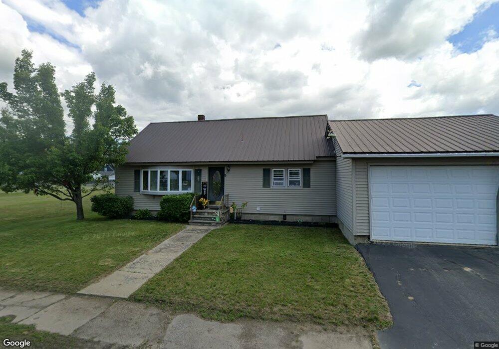
9 Coburn Ave Dixfield, ME 04224
Estimated Value: $213,908 - $246,000
--
Bed
--
Bath
1,040
Sq Ft
$217/Sq Ft
Est. Value
About This Home
This home is located at 9 Coburn Ave, Dixfield, ME 04224 and is currently estimated at $225,727, approximately $217 per square foot. 9 Coburn Ave is a home with nearby schools including Webb River seventh-day Adventist School.
Ownership History
Date
Name
Owned For
Owner Type
Purchase Details
Closed on
Jul 21, 2022
Sold by
Turbide Brenda E and Turbide Steven K
Bought by
Gagnon David A and Gagnon Dawna A
Current Estimated Value
Purchase Details
Closed on
Apr 25, 2019
Sold by
Clark Nathan B
Bought by
Gagnon David A and Gagnon Dawna A
Purchase Details
Closed on
Sep 11, 2015
Sold by
Child Sandra E
Bought by
Clark Nathan B
Home Financials for this Owner
Home Financials are based on the most recent Mortgage that was taken out on this home.
Original Mortgage
$85,500
Interest Rate
3.19%
Mortgage Type
New Conventional
Create a Home Valuation Report for This Property
The Home Valuation Report is an in-depth analysis detailing your home's value as well as a comparison with similar homes in the area
Home Values in the Area
Average Home Value in this Area
Purchase History
| Date | Buyer | Sale Price | Title Company |
|---|---|---|---|
| Gagnon David A | -- | None Available | |
| Gagnon David A | -- | -- | |
| Clark Nathan B | -- | -- |
Source: Public Records
Mortgage History
| Date | Status | Borrower | Loan Amount |
|---|---|---|---|
| Previous Owner | Clark Nathan B | $85,500 |
Source: Public Records
Tax History Compared to Growth
Tax History
| Year | Tax Paid | Tax Assessment Tax Assessment Total Assessment is a certain percentage of the fair market value that is determined by local assessors to be the total taxable value of land and additions on the property. | Land | Improvement |
|---|---|---|---|---|
| 2024 | $2,528 | $113,100 | $18,600 | $94,500 |
| 2023 | $2,432 | $113,100 | $18,600 | $94,500 |
| 2022 | $2,389 | $111,100 | $16,600 | $94,500 |
| 2021 | $2,666 | $111,100 | $16,600 | $94,500 |
| 2020 | $2,609 | $108,700 | $16,600 | $92,100 |
| 2019 | $2,931 | $108,700 | $16,600 | $92,100 |
| 2018 | $2,891 | $108,700 | $16,600 | $92,100 |
| 2017 | $3,131 | $140,400 | $21,700 | $118,700 |
| 2016 | $2,822 | $140,400 | $21,700 | $118,700 |
| 2015 | $2,864 | $140,400 | $21,700 | $118,700 |
| 2014 | $2,710 | $140,438 | $21,720 | $118,718 |
| 2013 | $2,732 | $140,438 | $21,720 | $118,718 |
Source: Public Records
Map
Nearby Homes
- 14 Nash St
- 13 Dix Ave
- 26 Highland Ave
- 10 Mill St
- 6 Victory Ln
- 84 Main St
- 89 Hall Hill Rd
- 34 Veterans St
- 72 Main St
- Map 15 Lot 36a
- 68 Ridge Rd
- 200 Averill Hill Rd
- 212 Ridge Rd
- 052 Bradbury Ridge Rd Off Averill
- Lot #27 Canton Rd
- 289 Highland Terrace
- 170 Route 108
- 181 Wyman Hill Rd
- 173 Route 108
- 80 Gammon Rd