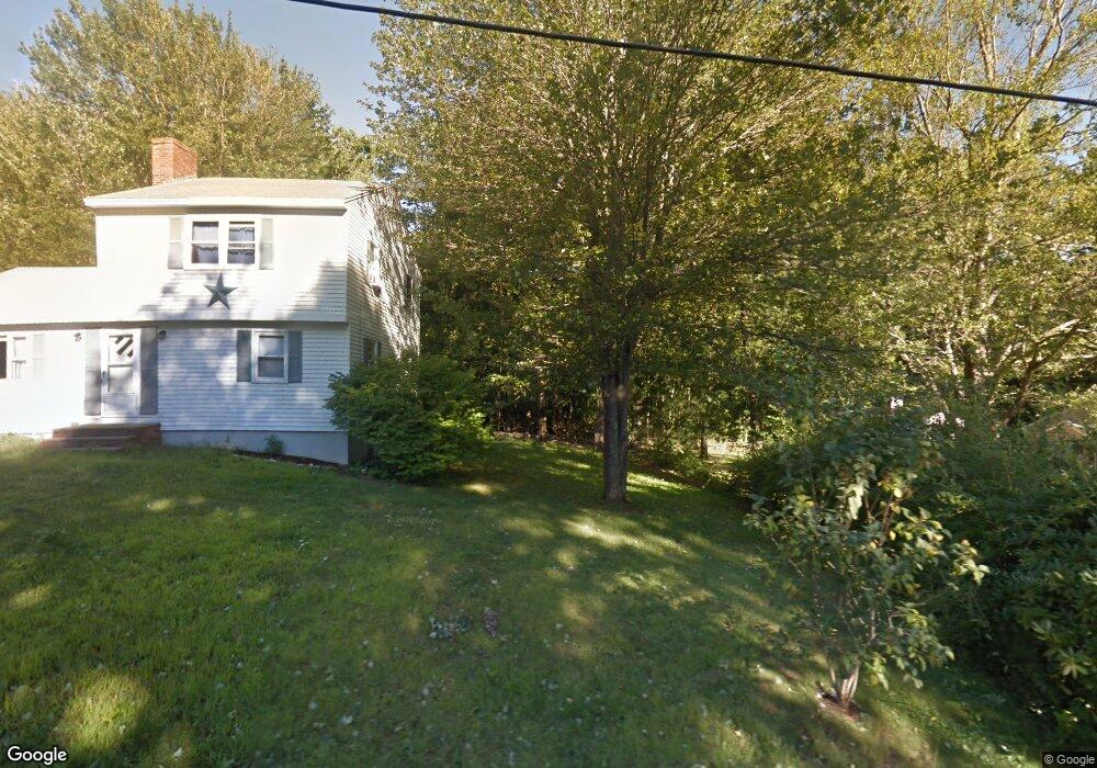
9 Cognato Rd Sanford, ME 04073
South Sanford NeighborhoodEstimated Value: $354,000 - $405,000
4
Beds
2
Baths
1,408
Sq Ft
$272/Sq Ft
Est. Value
About This Home
This home is located at 9 Cognato Rd, Sanford, ME 04073 and is currently estimated at $382,761, approximately $271 per square foot. 9 Cognato Rd is a home located in York County.
Ownership History
Date
Name
Owned For
Owner Type
Purchase Details
Closed on
Jun 22, 2021
Sold by
Cognato Anthony J
Bought by
Cognato Anthony J and Cognato Michelle F
Current Estimated Value
Home Financials for this Owner
Home Financials are based on the most recent Mortgage that was taken out on this home.
Original Mortgage
$173,000
Outstanding Balance
$155,946
Interest Rate
2.9%
Mortgage Type
Purchase Money Mortgage
Estimated Equity
$226,815
Create a Home Valuation Report for This Property
The Home Valuation Report is an in-depth analysis detailing your home's value as well as a comparison with similar homes in the area
Home Values in the Area
Average Home Value in this Area
Purchase History
| Date | Buyer | Sale Price | Title Company |
|---|---|---|---|
| Cognato Anthony J | -- | Stewart Title |
Source: Public Records
Mortgage History
| Date | Status | Borrower | Loan Amount |
|---|---|---|---|
| Open | Cognato Anthony J | $173,000 |
Source: Public Records
Tax History Compared to Growth
Tax History
| Year | Tax Paid | Tax Assessment Tax Assessment Total Assessment is a certain percentage of the fair market value that is determined by local assessors to be the total taxable value of land and additions on the property. | Land | Improvement |
|---|---|---|---|---|
| 2025 | $4,338 | $253,700 | $45,600 | $208,100 |
| 2024 | $4,095 | $253,700 | $45,600 | $208,100 |
| 2023 | $3,812 | $251,800 | $45,600 | $206,200 |
| 2022 | $3,727 | $251,800 | $45,600 | $206,200 |
| 2021 | $3,378 | $210,800 | $45,600 | $165,200 |
| 2020 | $3,260 | $186,700 | $45,600 | $141,100 |
| 2019 | $3,658 | $176,700 | $45,600 | $131,100 |
| 2018 | $3,205 | $166,600 | $40,900 | $125,700 |
| 2017 | $3,323 | $160,200 | $40,900 | $119,300 |
| 2016 | $3,363 | $147,900 | $41,000 | $106,900 |
| 2015 | $3,205 | $155,400 | $46,000 | $109,400 |
| 2014 | $3,317 | $157,300 | $47,700 | $109,600 |
| 2013 | -- | $163,700 | $53,800 | $109,900 |
Source: Public Records
Map
Nearby Homes
- 41 Sunny Ln
- 122 Country Club 3 Rd
- 42 Bernice Ave
- 45 Grace Ln
- 22 Lentago Ln
- Lot 4 Tbd Lentago Ln Unit Lot 4
- 99 Channel Ln
- 469 High St
- 761 Quarry Rd
- 43 Michaels Rd
- Lot 8E Country Club Rd
- 247 Sam Allen Rd
- Lot 11 Laney Ln
- Lot 13 Laney Ln
- 86 Moose Bog Ln
- Lot 55-A Ford Quint Rd
- 56 Sam Allen Rd
- Lot A Butler Rd
- 49 Willow Dr
- 202 High St
- 15 Cognato Rd
- 17 Cognato Rd
- 15 Partridge Ct
- 19 Partridge Ct
- 17 Partridge Ct
- 8 Quail Run Rd
- 6 Quail Run Rd
- 2 Quail Run Rd
- 4 Quail Run Rd
- 11 Quail Run Rd
- 11 Quail Run Rd
- 0 Quail Run Rd
- 4 Quail Run
- 9 Quail Run Rd
- 24 Punky Pkwy
- 1 Quail Run Rd
- 305 Country Club 3 Rd
- 20 Punky Park Way
- 27 Punky Pkwy
- 20 Punky Pkwy