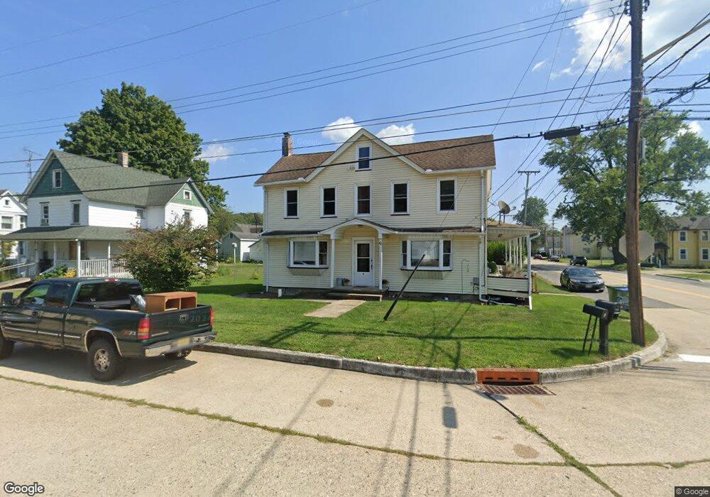
9 Columbia St Unit B Columbia, NJ 07832
Estimated Value: $308,000 - $390,000
2
Beds
1
Bath
2,562
Sq Ft
$134/Sq Ft
Est. Value
About This Home
This home is located at 9 Columbia St Unit B, Columbia, NJ 07832 and is currently estimated at $344,111, approximately $134 per square foot. 9 Columbia St Unit B is a home located in Warren County with nearby schools including Knowlton Township Elementary School and North Warren Regional School.
Ownership History
Date
Name
Owned For
Owner Type
Purchase Details
Closed on
May 11, 2021
Sold by
Maynard Jan M and Maynard Jennifer M
Bought by
Resotka Michael
Current Estimated Value
Home Financials for this Owner
Home Financials are based on the most recent Mortgage that was taken out on this home.
Original Mortgage
$271,138
Interest Rate
2.93%
Mortgage Type
FHA
Purchase Details
Closed on
Mar 30, 2017
Sold by
Hanson Richard Wayne and Hanson Bradford Charles
Bought by
Maynard Jennifer M and Maynard Jan M
Home Financials for this Owner
Home Financials are based on the most recent Mortgage that was taken out on this home.
Original Mortgage
$108,750
Interest Rate
4.16%
Mortgage Type
New Conventional
Purchase Details
Closed on
Dec 13, 2012
Sold by
Hanson Richard Wayne and Hanson Bradford Charles
Bought by
Hanson Richard Wayne and Hanson Bradford Charles
Create a Home Valuation Report for This Property
The Home Valuation Report is an in-depth analysis detailing your home's value as well as a comparison with similar homes in the area
Home Values in the Area
Average Home Value in this Area
Purchase History
| Date | Buyer | Sale Price | Title Company |
|---|---|---|---|
| Resotka Michael | $212,000 | Realsafe Title Llc | |
| Maynard Jennifer M | $145,000 | Elite Title Group Llc | |
| Hanson Richard Wayne | -- | None Available | |
| Hanson Richard Charles | -- | None Available |
Source: Public Records
Mortgage History
| Date | Status | Borrower | Loan Amount |
|---|---|---|---|
| Previous Owner | Resotka Michael | $271,138 | |
| Previous Owner | Maynard Jennifer M | $108,750 |
Source: Public Records
Tax History Compared to Growth
Tax History
| Year | Tax Paid | Tax Assessment Tax Assessment Total Assessment is a certain percentage of the fair market value that is determined by local assessors to be the total taxable value of land and additions on the property. | Land | Improvement |
|---|---|---|---|---|
| 2025 | $7,184 | $180,400 | $41,100 | $139,300 |
| 2024 | $7,030 | $180,400 | $41,100 | $139,300 |
| 2023 | $6,968 | $180,400 | $41,100 | $139,300 |
| 2022 | $6,968 | $184,300 | $41,100 | $143,200 |
| 2021 | $6,786 | $184,300 | $41,100 | $143,200 |
| 2020 | $6,633 | $184,300 | $41,100 | $143,200 |
| 2019 | $6,362 | $184,300 | $41,100 | $143,200 |
| 2018 | $6,362 | $184,300 | $41,100 | $143,200 |
| 2017 | $6,294 | $184,300 | $41,100 | $143,200 |
| 2016 | $6,157 | $184,300 | $41,100 | $143,200 |
| 2015 | $6,084 | $184,300 | $41,100 | $143,200 |
| 2014 | $5,875 | $184,300 | $41,100 | $143,200 |
Source: Public Records
Map
Nearby Homes
- 25 Decatur St
- 37 Decatur St
- 13 Susquehanna Ln
- 605 Washington St
- 0 1st St Unit 753593
- 17 U S 46
- 4079 Church St
- 305 State St
- 406 Jones St
- 38 Stark Rd
- 36 Us Highway 46
- 22 Walnut Rd
- 10 Summer St
- 333 Decker Ferry Rd
- 1764 Potomac St
- 55 Delaware Rd
- 2376 N Delaware Dr
- 31 Hemlock Rd
- 81 Shepherds Hill Dr Unit lot 9
- 7 N Terrace Rd