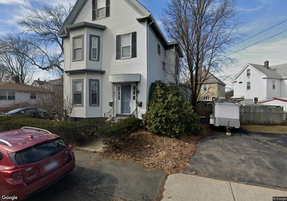
9 Curtis St Unit 11 Medford, MA 02155
Medford Hillside NeighborhoodEstimated Value: $1,011,478 - $1,093,000
4
Beds
2
Baths
2,116
Sq Ft
$498/Sq Ft
Est. Value
About This Home
This home is located at 9 Curtis St Unit 11, Medford, MA 02155 and is currently estimated at $1,053,870, approximately $498 per square foot. 9 Curtis St Unit 11 is a home located in Middlesex County with nearby schools including Medford High School, St. Joseph School, and Saint Raphael School.
Ownership History
Date
Name
Owned For
Owner Type
Purchase Details
Closed on
May 15, 2006
Sold by
9 Curtis Street Rt and Dixon Marie T
Bought by
Witsell-Knight Anne
Current Estimated Value
Home Financials for this Owner
Home Financials are based on the most recent Mortgage that was taken out on this home.
Original Mortgage
$225,000
Outstanding Balance
$130,310
Interest Rate
6.4%
Mortgage Type
Purchase Money Mortgage
Estimated Equity
$923,560
Purchase Details
Closed on
Apr 14, 2004
Sold by
Dixon Marie T and Dixon Michael A
Bought by
9 Curtis Street Rt and Dixon Marie T
Create a Home Valuation Report for This Property
The Home Valuation Report is an in-depth analysis detailing your home's value as well as a comparison with similar homes in the area
Home Values in the Area
Average Home Value in this Area
Purchase History
| Date | Buyer | Sale Price | Title Company |
|---|---|---|---|
| Witsell-Knight Anne | $490,000 | -- | |
| 9 Curtis Street Rt | -- | -- |
Source: Public Records
Mortgage History
| Date | Status | Borrower | Loan Amount |
|---|---|---|---|
| Open | Witsell-Knight Anne | $225,000 |
Source: Public Records
Tax History Compared to Growth
Tax History
| Year | Tax Paid | Tax Assessment Tax Assessment Total Assessment is a certain percentage of the fair market value that is determined by local assessors to be the total taxable value of land and additions on the property. | Land | Improvement |
|---|---|---|---|---|
| 2025 | $8,078 | $917,900 | $445,600 | $472,300 |
| 2024 | $7,252 | $851,200 | $404,100 | $447,100 |
| 2023 | $7,067 | $817,000 | $377,700 | $439,300 |
| 2022 | $7,051 | $782,600 | $343,300 | $439,300 |
| 2021 | $6,679 | $709,800 | $327,000 | $382,800 |
| 2020 | $6,650 | $724,400 | $335,400 | $389,000 |
| 2019 | $6,329 | $659,300 | $304,800 | $354,500 |
| 2018 | $6,033 | $589,200 | $277,100 | $312,100 |
| 2017 | $5,683 | $538,200 | $259,000 | $279,200 |
| 2016 | $5,531 | $494,300 | $235,500 | $258,800 |
| 2015 | $5,292 | $452,300 | $224,300 | $228,000 |
Source: Public Records
Map
Nearby Homes
- 147 Summer St
- 154 Summer St Unit 154
- 54 South St Unit 1
- 54 South St
- 54 South St Unit 5
- 54 South St Unit 2
- 54 South St Unit 4
- 2500 Mystic Valley Pkwy Unit 907
- 235 Winthrop St Unit 1111
- 235 Winthrop St Unit 3302
- 235 Winthrop St Unit 3306
- 154 High St Unit 204
- 190 High St Unit 605
- 130 Auburn St
- 85 Marshall St
- 76 Orchard St
- 179 Main St
- 0 & 15 Whitman Rd
- 12 George St Unit 3
- 12 George St Unit 2
- 128 South St
- 15 Curtis St
- 130 South St
- 124 South St
- 14 Curtis St Unit 2
- 14 Curtis St
- 201 Winthrop St
- 199 Winthrop St
- 12 Curtis St
- 19 Curtis St
- 16 Curtis St
- 114 South St
- 18 Curtis St
- 191 Winthrop St Unit 1
- 191 Winthrop St Unit 2
- 204 Winthrop St
- 202 Winthrop St Unit 202
- 200 Winthrop St
- 25 Curtis St Unit 2
- 25 Curtis St