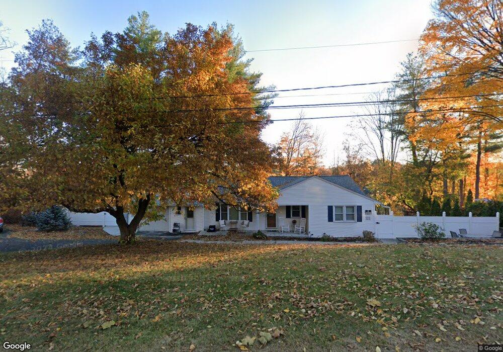
9 Daniel Rd Bristol, CT 06010
Forestville NeighborhoodEstimated Value: $292,000 - $404,900
3
Beds
3
Baths
1,284
Sq Ft
$275/Sq Ft
Est. Value
About This Home
Property Id: 1662207
Beautiful gated property on private culdesac Unit 9B is ground floor, 3Br, 1BA unit with all must have amenities. Priced under the market for comparable units at $2300/mo, all utilities included, to attract preference for long term tenant. Move in ready.
Centrally located to everything Bristol has to offer, yet nestled in nature. The private park like settings of this quiet, peaceful property awaits same kind of tenant. Contact Vaughns Enterprises, LLC,
Pierce Vaughns or
Darla Vaughns
Ownership History
Date
Name
Owned For
Owner Type
Purchase Details
Closed on
Jun 26, 2019
Sold by
Rzemien Jaroslaw and Brankiewicz Jolanta
Bought by
Vaughns Darla and Vaughns Anthony
Current Estimated Value
Home Financials for this Owner
Home Financials are based on the most recent Mortgage that was taken out on this home.
Original Mortgage
$141,075
Outstanding Balance
$124,048
Interest Rate
4%
Mortgage Type
Purchase Money Mortgage
Estimated Equity
$229,677
Purchase Details
Closed on
May 21, 2015
Sold by
Bank Of New York
Bought by
Rzemien Jaroslaw and Rzemien Jolanta
Purchase Details
Closed on
Mar 9, 2015
Sold by
Smead Robert
Bought by
Bank New York Mellon
Purchase Details
Closed on
Feb 17, 1998
Sold by
Palmer Helen M
Bought by
Smead Robert and Smead Lisa
Create a Home Valuation Report for This Property
The Home Valuation Report is an in-depth analysis detailing your home's value as well as a comparison with similar homes in the area
Home Values in the Area
Average Home Value in this Area
Purchase History
| Date | Buyer | Sale Price | Title Company |
|---|---|---|---|
| Vaughns Darla | $148,500 | -- | |
| Rzemien Jaroslaw | $116,500 | -- | |
| Bank New York Mellon | -- | -- | |
| Smead Robert | $46,500 | -- | |
| Smead Robert | $46,500 | -- |
Source: Public Records
Mortgage History
| Date | Status | Borrower | Loan Amount |
|---|---|---|---|
| Open | Vaughns Darla | $141,075 | |
| Previous Owner | Smead Robert | $208,000 | |
| Previous Owner | Smead Robert | $52,000 |
Source: Public Records
Property History
| Date | Event | Price | List to Sale | Price per Sq Ft |
|---|---|---|---|---|
| 02/10/2025 02/10/25 | Off Market | -- | -- | -- |
| 01/21/2025 01/21/25 | For Rent | -- | -- | -- |
Tax History
| Year | Tax Paid | Tax Assessment Tax Assessment Total Assessment is a certain percentage of the fair market value that is determined by local assessors to be the total taxable value of land and additions on the property. | Land | Improvement |
|---|---|---|---|---|
| 2025 | $7,336 | $217,350 | $40,110 | $177,240 |
| 2024 | $6,060 | $190,260 | $40,110 | $150,150 |
| 2023 | $5,774 | $190,260 | $40,110 | $150,150 |
| 2022 | $5,358 | $139,720 | $32,550 | $107,170 |
| 2021 | $5,358 | $139,720 | $32,550 | $107,170 |
| 2020 | $5,358 | $139,720 | $32,550 | $107,170 |
| 2019 | $5,316 | $139,720 | $32,550 | $107,170 |
| 2018 | $5,153 | $139,720 | $32,550 | $107,170 |
| 2017 | $4,888 | $135,660 | $40,460 | $95,200 |
| 2016 | $4,888 | $135,660 | $40,460 | $95,200 |
| 2015 | $4,695 | $135,660 | $40,460 | $95,200 |
| 2014 | $4,695 | $135,660 | $40,460 | $95,200 |
Source: Public Records
Map
Nearby Homes
- 9 Daniel Rd
- 9 Daniel Rd Unit 9B
- 9 Daniel Rd Unit 9A
- 480 Woodland St
- 14 Daniel Rd
- 511 King St
- 513 King St
- 509 King St
- 12 Holley Rd
- 26 Daniel Rd
- 550 King St
- 503 King St
- 24 Holley Rd
- 33 Holley Rd
- 40 Daniel Rd
- 556 King St Unit 3-H
- 556 King St Unit 3-B
- 556 King St Unit 1-F
- 556 King St Unit 1-H
- 556 King St Unit 4-B
Your Personal Tour Guide
Ask me questions while you tour the home.