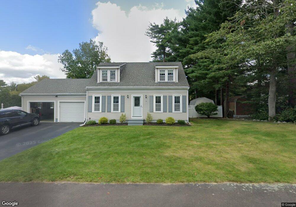
9 Daniel Teague Dr Rockland, MA 02370
Estimated Value: $654,314 - $714,000
3
Beds
2
Baths
1,752
Sq Ft
$387/Sq Ft
Est. Value
About This Home
This home is located at 9 Daniel Teague Dr, Rockland, MA 02370 and is currently estimated at $677,829, approximately $386 per square foot. 9 Daniel Teague Dr is a home located in Plymouth County with nearby schools including Rockland Senior High School, Calvary Chapel Academy, and St Bridget School.
Ownership History
Date
Name
Owned For
Owner Type
Purchase Details
Closed on
Jun 23, 2004
Sold by
Daigle Paul and Daigle Ellen
Bought by
Larouco Armando D and Larouco Danielle M
Current Estimated Value
Home Financials for this Owner
Home Financials are based on the most recent Mortgage that was taken out on this home.
Original Mortgage
$333,700
Interest Rate
6.32%
Mortgage Type
Purchase Money Mortgage
Purchase Details
Closed on
Dec 8, 1997
Sold by
Reed Susan B and Reed Timothy R
Bought by
Daigle Paul R and Daigle Ellen M
Purchase Details
Closed on
Jun 11, 1992
Sold by
Beech Hill Lp
Bought by
Reed Susan B and Reed Timothy R
Create a Home Valuation Report for This Property
The Home Valuation Report is an in-depth analysis detailing your home's value as well as a comparison with similar homes in the area
Home Values in the Area
Average Home Value in this Area
Purchase History
| Date | Buyer | Sale Price | Title Company |
|---|---|---|---|
| Larouco Armando D | $428,000 | -- | |
| Daigle Paul R | $192,000 | -- | |
| Reed Susan B | $168,400 | -- |
Source: Public Records
Mortgage History
| Date | Status | Borrower | Loan Amount |
|---|---|---|---|
| Open | Reed Susan B | $319,000 | |
| Closed | Reed Susan B | $333,700 | |
| Previous Owner | Reed Susan B | $196,000 |
Source: Public Records
Tax History
| Year | Tax Paid | Tax Assessment Tax Assessment Total Assessment is a certain percentage of the fair market value that is determined by local assessors to be the total taxable value of land and additions on the property. | Land | Improvement |
|---|---|---|---|---|
| 2025 | $8,032 | $587,600 | $238,100 | $349,500 |
| 2024 | $7,798 | $554,600 | $224,600 | $330,000 |
| 2023 | $7,898 | $518,900 | $215,900 | $303,000 |
| 2022 | $7,621 | $455,000 | $187,700 | $267,300 |
| 2021 | $7,296 | $422,200 | $178,400 | $243,800 |
| 2020 | $7,039 | $402,200 | $169,900 | $232,300 |
| 2019 | $6,921 | $386,200 | $161,800 | $224,400 |
| 2018 | $6,913 | $379,400 | $183,000 | $196,400 |
| 2017 | $7,565 | $361,800 | $183,000 | $178,800 |
| 2016 | $6,435 | $348,000 | $175,900 | $172,100 |
| 2015 | $6,145 | $322,900 | $164,400 | $158,500 |
| 2014 | $5,843 | $318,600 | $161,200 | $157,400 |
Source: Public Records
Map
Nearby Homes
- 5 Alpine St
- 810 Brookline Way
- 9 Pat Rose Way
- 8 Pat Rose Way
- 5 Pat Rose Way
- 696 Summer St
- 340 Centre Ave Unit 44
- 215 Market St
- 823 Market St
- 608 Plymouth St
- 9 Old Market St
- 291 Raynor Ave
- 7 Carlys Way
- 170 Pleasant St
- 49 Liberty St
- 10 Proud Foot Way
- 92 Liberty St
- 61 Suffolk St
- 225 W Water St
- 7 Hayford Trail Unit 12
- 11 Daniel Teague Dr
- 7 Daniel Teague Dr
- 25 Bay Path Ln
- 23 Bay Path Ln
- 10 Daniel Teague Dr
- 27 Bay Path Ln
- 8 Daniel Teague Dr
- 5 Daniel Teague Dr
- 12 Daniel Teague Dr
- 22 Nobscot Brook Ln
- 6 Daniel Teague Dr
- 21 Bay Path Ln
- 7 Cornet Stetson Dr
- 9 Cornet Stetson Dr
- 5 Cornet Stetson Dr
- 20 Nobscot Brook Ln
- 4 Daniel Teague Dr
- 22 Bay Path Ln
- 3 Daniel Teague Dr
- 11 Cornet Stetson Dr
Your Personal Tour Guide
Ask me questions while you tour the home.