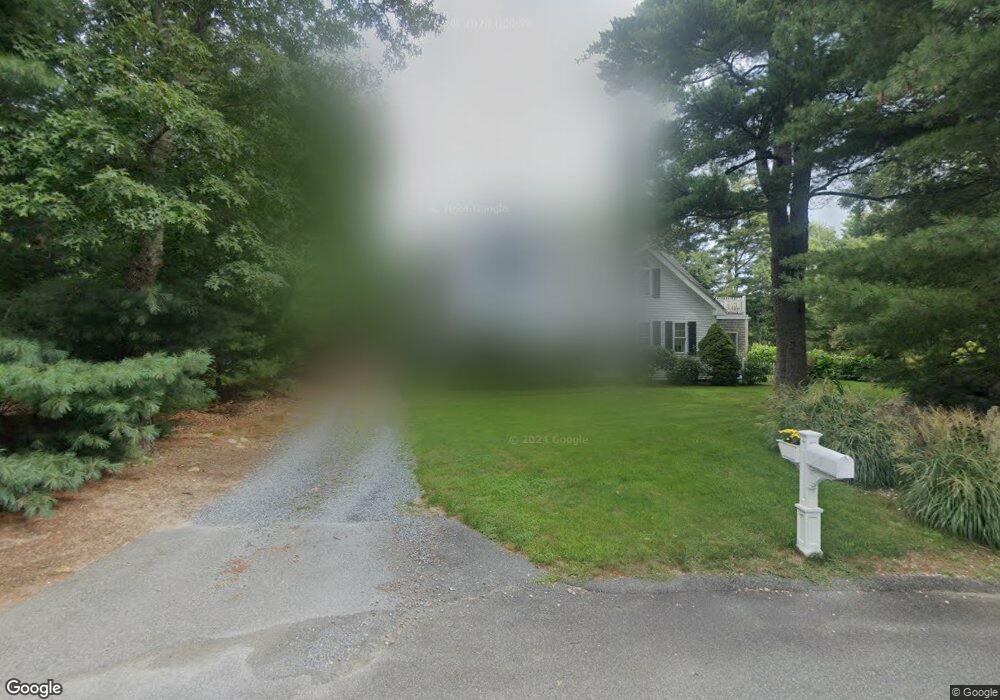
9 Dawe Ln Buzzards Bay, MA 02532
Monument Beach NeighborhoodEstimated Value: $844,000 - $1,045,000
4
Beds
4
Baths
2,800
Sq Ft
$336/Sq Ft
Est. Value
About This Home
This home is located at 9 Dawe Ln, Buzzards Bay, MA 02532 and is currently estimated at $941,282, approximately $336 per square foot. 9 Dawe Ln is a home located in Barnstable County with nearby schools including Bourne High School, St Margaret Regional School, and Cadence Academy Preschool - Bourne.
Ownership History
Date
Name
Owned For
Owner Type
Purchase Details
Closed on
Mar 28, 2011
Sold by
Oceanview Int and Oceanview Simpson
Bought by
Stack James D and Craves Beverly M
Current Estimated Value
Purchase Details
Closed on
Feb 16, 2007
Sold by
Dawe David B and Dawe Lisa M
Bought by
Oceanview Int and Oceanview Simpson
Home Financials for this Owner
Home Financials are based on the most recent Mortgage that was taken out on this home.
Original Mortgage
$825,000
Interest Rate
6.24%
Mortgage Type
Purchase Money Mortgage
Purchase Details
Closed on
Sep 7, 2006
Sold by
Dawe David B and Dawe Lisa M
Bought by
Dawe David B and Dawe Lisa M
Home Financials for this Owner
Home Financials are based on the most recent Mortgage that was taken out on this home.
Original Mortgage
$155,000
Interest Rate
6.79%
Mortgage Type
Purchase Money Mortgage
Create a Home Valuation Report for This Property
The Home Valuation Report is an in-depth analysis detailing your home's value as well as a comparison with similar homes in the area
Home Values in the Area
Average Home Value in this Area
Purchase History
| Date | Buyer | Sale Price | Title Company |
|---|---|---|---|
| Stack James D | $425,000 | -- | |
| Stack James D | $425,000 | -- | |
| Oceanview Int | $500,000 | -- | |
| Oceanview Int | $500,000 | -- | |
| Dawe David B | -- | -- | |
| Dawe David B | -- | -- | |
| Dawe David B | -- | -- |
Source: Public Records
Mortgage History
| Date | Status | Borrower | Loan Amount |
|---|---|---|---|
| Previous Owner | Oceanview Int | $825,000 | |
| Previous Owner | Dawe David B | $155,000 |
Source: Public Records
Tax History Compared to Growth
Tax History
| Year | Tax Paid | Tax Assessment Tax Assessment Total Assessment is a certain percentage of the fair market value that is determined by local assessors to be the total taxable value of land and additions on the property. | Land | Improvement |
|---|---|---|---|---|
| 2025 | $6,145 | $786,800 | $227,300 | $559,500 |
| 2024 | $6,056 | $755,100 | $216,500 | $538,600 |
| 2023 | $3,969 | $616,000 | $191,600 | $424,400 |
| 2022 | $3,769 | $510,300 | $169,500 | $340,800 |
| 2021 | $5,041 | $468,100 | $154,300 | $313,800 |
| 2020 | $4,934 | $459,400 | $152,800 | $306,600 |
| 2019 | $4,680 | $445,300 | $152,800 | $292,500 |
| 2018 | $4,503 | $427,200 | $145,600 | $281,600 |
| 2017 | $4,388 | $426,000 | $144,200 | $281,800 |
| 2016 | $4,251 | $418,400 | $144,200 | $274,200 |
| 2015 | $4,026 | $399,800 | $144,200 | $255,600 |
Source: Public Records
Map
Nearby Homes
- 14 Great Rock Rd
- 44 Cotuit Rd
- 13 Laurel Hill Ct
- 85 Waterhouse Rd
- 85 Waterhouse Rd
- 5 Sea Knoll Ct
- 60 Sandwich Rd
- 26 Carnoustie Rd
- 90-92 Sandwich Rd Unit 2
- 405 Village Dr
- 405 Village Dr Unit 405
- 1 Hollyhock Knoll Ct Unit 1
- 4 Hollyhock Knoll Ct Unit 4
- 4 Hollyhock Knoll Ct Unit 4
- 12 Turnberry Rd Unit 12
- 203 County Rd
- 34 Turnberry Rd
- 38 Old Bridge Rd
- 90-92 Sandwich Rd Unit 9C
- 16 Amberwood Ct