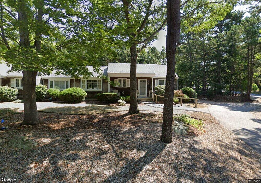
9 Debs Way Yarmouth Port, MA 02675
Yarmouth Port NeighborhoodEstimated Value: $434,588 - $521,000
2
Beds
3
Baths
1,170
Sq Ft
$408/Sq Ft
Est. Value
About This Home
This home is located at 9 Debs Way, Yarmouth Port, MA 02675 and is currently estimated at $476,897, approximately $407 per square foot. 9 Debs Way is a home located in Barnstable County with nearby schools including Dennis-Yarmouth Regional High School and St. Pius X. School.
Ownership History
Date
Name
Owned For
Owner Type
Purchase Details
Closed on
Apr 26, 2023
Sold by
Shaheen Louise
Bought by
Hanchuck Christine and Mccluskey Jeanne
Current Estimated Value
Purchase Details
Closed on
Mar 3, 2000
Sold by
Gannon Edith D
Bought by
Shaheen Louise
Create a Home Valuation Report for This Property
The Home Valuation Report is an in-depth analysis detailing your home's value as well as a comparison with similar homes in the area
Home Values in the Area
Average Home Value in this Area
Purchase History
| Date | Buyer | Sale Price | Title Company |
|---|---|---|---|
| Hanchuck Christine | -- | None Available | |
| Hanchuck Christine | -- | None Available | |
| Shaheen Louise | $159,500 | -- | |
| Shaheen Louise | $159,500 | -- |
Source: Public Records
Mortgage History
| Date | Status | Borrower | Loan Amount |
|---|---|---|---|
| Previous Owner | Shaheen Louise | $20,000 |
Source: Public Records
Tax History Compared to Growth
Tax History
| Year | Tax Paid | Tax Assessment Tax Assessment Total Assessment is a certain percentage of the fair market value that is determined by local assessors to be the total taxable value of land and additions on the property. | Land | Improvement |
|---|---|---|---|---|
| 2025 | $2,833 | $400,100 | $0 | $400,100 |
| 2024 | $3,102 | $420,300 | $0 | $420,300 |
| 2023 | $2,973 | $366,600 | $0 | $366,600 |
| 2022 | $2,558 | $278,700 | $0 | $278,700 |
| 2021 | $2,730 | $285,600 | $0 | $285,600 |
| 2020 | $2,755 | $275,500 | $0 | $275,500 |
| 2019 | $2,453 | $242,900 | $0 | $242,900 |
| 2018 | $2,415 | $234,700 | $0 | $234,700 |
| 2017 | $2,352 | $234,700 | $0 | $234,700 |
| 2016 | $2,099 | $210,300 | $0 | $210,300 |
| 2015 | $2,089 | $208,100 | $0 | $208,100 |
Source: Public Records
Map
Nearby Homes
- 16 Warren Rd Unit 16
- 16 Warren Rd
- 8 Rowley Ln
- 0 Forsyth Ave
- 176 Beacon St
- 32 Deveau Ln
- 209 Union St
- 33 Sparrow Way
- 4 Old Colony Way
- 1 Barnacle Rd
- 10 Upton Rd
- 72 Quartermaster Row
- 86 Pompano Rd
- 129 Driftwood Ln
- 111 Merchant Ave
- 118 Driftwood Ln
- 17 Trowbridge Path
- 882 W Yarmouth Rd
- 97 Captain Bacon Rd
- 11 Debs Way
- 11 Debs Way Unit B
- 84 Deb's Hill Unit 48A
- 34 Deb's Hill Unit 4B
- 34 Deb's Hill Unit 3496
- 233 W Great Western Rd
- 231 W Great Western Rd
- 231 W Great Western Rd Unit A
- 233 W Great Western Rd Unit B
- 12 Deb's Unit 44A
- 20 Deb's Hill Unit B
- 46 Debs Hill Rd
- 48 Debs Hill Rd
- 46 Debs Hill Rd Unit 2B
- 48 Debs Hill Rd Unit 2A
- 51 Debs Hill Rd
- 10 Debs Way
- 12 Debs Way
- 10 Debs Way Unit 10
- 10 Debs Way Unit 44B