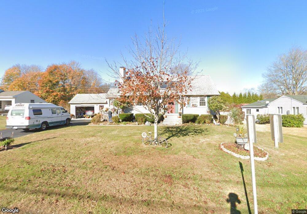
9 Deerfield Rd Waterford, CT 06385
Estimated Value: $499,000 - $548,000
4
Beds
2
Baths
1,964
Sq Ft
$265/Sq Ft
Est. Value
About This Home
This home is located at 9 Deerfield Rd, Waterford, CT 06385 and is currently estimated at $519,755, approximately $264 per square foot. 9 Deerfield Rd is a home located in New London County with nearby schools including Clark Lane Middle School, Waterford High School, and St. Joseph School.
Ownership History
Date
Name
Owned For
Owner Type
Purchase Details
Closed on
May 9, 2018
Sold by
Ulffers June
Bought by
Ulffers Stephen L
Current Estimated Value
Purchase Details
Closed on
Mar 10, 2016
Sold by
Annon Michael C and Annon Melinda P
Bought by
Annon Michael C and Annon Melinda P
Purchase Details
Closed on
Aug 9, 1979
Bought by
Annon Michael C and Annon Melinda P
Create a Home Valuation Report for This Property
The Home Valuation Report is an in-depth analysis detailing your home's value as well as a comparison with similar homes in the area
Home Values in the Area
Average Home Value in this Area
Purchase History
| Date | Buyer | Sale Price | Title Company |
|---|---|---|---|
| Annon Michael C | -- | -- | |
| Annon Michael C | -- | -- | |
| Ulffers Stephen L | -- | -- | |
| Annon Michael C | -- | -- |
Source: Public Records
Mortgage History
| Date | Status | Borrower | Loan Amount |
|---|---|---|---|
| Previous Owner | Annon Michael C | $100,000 | |
| Previous Owner | Annon Michael C | $82,000 |
Source: Public Records
Tax History Compared to Growth
Tax History
| Year | Tax Paid | Tax Assessment Tax Assessment Total Assessment is a certain percentage of the fair market value that is determined by local assessors to be the total taxable value of land and additions on the property. | Land | Improvement |
|---|---|---|---|---|
| 2025 | $5,603 | $239,860 | $91,290 | $148,570 |
| 2024 | $5,349 | $239,860 | $91,290 | $148,570 |
| 2023 | $5,085 | $239,860 | $91,290 | $148,570 |
| 2022 | $4,874 | $176,860 | $59,540 | $117,320 |
| 2021 | $4,888 | $176,860 | $59,540 | $117,320 |
| 2020 | $4,929 | $176,860 | $59,540 | $117,320 |
| 2019 | $4,949 | $176,860 | $59,540 | $117,320 |
| 2018 | $4,850 | $176,860 | $59,540 | $117,320 |
| 2017 | $4,781 | $176,860 | $59,540 | $117,320 |
| 2016 | $4,736 | $176,860 | $59,540 | $117,320 |
| 2015 | $4,568 | $176,860 | $59,540 | $117,320 |
| 2014 | $4,386 | $176,860 | $59,540 | $117,320 |
Source: Public Records
Map
Nearby Homes
- 23 Whaling Dr
- 94 Great Neck Rd
- 1 Ivy Hill Rd
- 51 Braman Rd
- 217 Shore Rd
- 54 Rope Ferry Rd Unit H133
- 54 Rope Ferry Rd Unit H 129
- 218 Shore Rd
- 1 Spinnaker Rd
- 25 Division St
- 7 Nichols Ln
- 213 Boston Post Rd
- 76 New Shore Rd
- 82 Longview St Unit 34
- 37 Spithead Rd
- 10 Cedar St
- 24 Pine St
- 29 Lloyd Rd
- 2 Maginnis Pkwy
- 270 Boston Post Rd Unit 22
- 11 Deerfield Rd
- 7 Deerfield Rd
- 75 Great Neck Rd
- 13 Deerfield Rd
- 8 Deerfield Rd
- 6 Deerfield Rd
- 77 Great Neck Rd
- 73 Great Neck Rd
- 10 Deerfield Rd
- 15 Deerfield Rd
- 12 Deerfield Rd
- 79 Great Neck Rd
- 14 Deerfield Rd
- 69 Great Neck Rd
- 13 Whaling Dr
- 17 Deerfield Rd
- 67R Great Neck Rd
- 81 Great Neck Rd
- 11 Whaling Dr
- 15 Whaling Dr