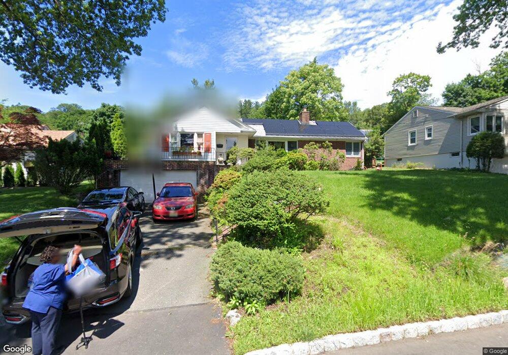
9 Devon Dr West Orange, NJ 07052
Estimated Value: $767,000 - $1,008,000
Studio
--
Bath
2,020
Sq Ft
$431/Sq Ft
Est. Value
About This Home
This home is located at 9 Devon Dr, West Orange, NJ 07052 and is currently estimated at $871,018, approximately $431 per square foot. 9 Devon Dr is a home located in Essex County with nearby schools including West Orange High School and Golda Och Academy Lower School.
Ownership History
Date
Name
Owned For
Owner Type
Purchase Details
Closed on
Oct 14, 2004
Sold by
Mcconeghy Susan
Bought by
Louis Bernard and Louis Carolle
Current Estimated Value
Home Financials for this Owner
Home Financials are based on the most recent Mortgage that was taken out on this home.
Original Mortgage
$382,000
Outstanding Balance
$190,199
Interest Rate
5.85%
Estimated Equity
$680,819
Purchase Details
Closed on
Nov 7, 1996
Sold by
Mayer Nikki
Bought by
Mcconeghy Susan
Home Financials for this Owner
Home Financials are based on the most recent Mortgage that was taken out on this home.
Original Mortgage
$150,000
Interest Rate
7.81%
Purchase Details
Closed on
Jan 18, 1992
Sold by
Scandariato Peter and Scandariato Mayer,Nikki
Bought by
Mayer Nikki
Create a Home Valuation Report for This Property
The Home Valuation Report is an in-depth analysis detailing your home's value as well as a comparison with similar homes in the area
Home Values in the Area
Average Home Value in this Area
Purchase History
| Date | Buyer | Sale Price | Title Company |
|---|---|---|---|
| Louis Bernard | $478,000 | -- | |
| Mcconeghy Susan | $187,000 | -- | |
| Mayer Nikki | -- | -- |
Source: Public Records
Mortgage History
| Date | Status | Borrower | Loan Amount |
|---|---|---|---|
| Open | Louis Bernard | $382,000 | |
| Previous Owner | Mcconeghy Susan | $150,000 |
Source: Public Records
Tax History
| Year | Tax Paid | Tax Assessment Tax Assessment Total Assessment is a certain percentage of the fair market value that is determined by local assessors to be the total taxable value of land and additions on the property. | Land | Improvement |
|---|---|---|---|---|
| 2025 | $16,947 | $747,800 | $322,800 | $425,000 |
| 2024 | $16,636 | $361,800 | $182,100 | $179,700 |
| 2022 | $16,053 | $361,800 | $182,100 | $179,700 |
| 2021 | $15,753 | $361,800 | $182,100 | $179,700 |
| 2020 | $15,500 | $361,800 | $182,100 | $179,700 |
| 2019 | $15,055 | $361,800 | $182,100 | $179,700 |
| 2018 | $14,609 | $361,800 | $182,100 | $179,700 |
| 2017 | $14,421 | $361,800 | $182,100 | $179,700 |
| 2016 | $14,074 | $361,800 | $182,100 | $179,700 |
| 2015 | $13,810 | $361,800 | $182,100 | $179,700 |
| 2014 | $13,539 | $361,800 | $182,100 | $179,700 |
Source: Public Records
Map
Nearby Homes
- 11 Mountain Way S
- 5 Overlook Ave
- 16 Walnut Ct
- 12 Winding Way
- 17A Glenside Rd
- 290 N Wyoming Ave
- 17 Maple Ave
- 67 Maple Ave
- 745 Valley St
- 333 Hillside Place
- 631 Valley St
- 637 Inwood Ln
- 622 Tremont Ave
- 31 Collamore Terrace
- 540 Liberty St
- 527 Valley St
- 684 Longview Rd
- 59 Hillside Ave
- 53 Forest Hill Rd
- 639 Nassau St Unit 8
- 7 Devon Dr
- 11 Devon Dr
- 28 Mountain Way
- 26 Mountain Way
- 5 Devon Dr
- 15 Devon Dr
- 10 Devon Dr
- 24 Mountain Way
- 12 Devon Dr
- 32 Mountain Way
- 8 Devon Dr
- 14 Devon Dr
- 22 Mountain Way Unit Garden Unit 1
- 22 Mountain Way Unit Garden Unit 2
- 22 Mountain Way
- 3 Devon Dr
- 6 Devon Dr
- 34 Mountain Way
- 20 Mountain Way
- 16 Devon Dr
Your Personal Tour Guide
Ask me questions while you tour the home.