9 Dewolf Rd Montague, MA 01351
Estimated Value: $452,180 - $596,000
3
Beds
2
Baths
1,614
Sq Ft
$312/Sq Ft
Est. Value
About This Home
This home is located at 9 Dewolf Rd, Montague, MA 01351 and is currently estimated at $502,795, approximately $311 per square foot. 9 Dewolf Rd is a home located in Franklin County with nearby schools including Turners Fall High School.
Ownership History
Date
Name
Owned For
Owner Type
Purchase Details
Closed on
May 17, 1996
Sold by
Jenks Duane E and Jenks Carol A
Bought by
Jackson Milton W
Current Estimated Value
Create a Home Valuation Report for This Property
The Home Valuation Report is an in-depth analysis detailing your home's value as well as a comparison with similar homes in the area
Home Values in the Area
Average Home Value in this Area
Purchase History
| Date | Buyer | Sale Price | Title Company |
|---|---|---|---|
| Jackson Milton W | $35,900 | -- | |
| Jackson Milton W | $35,900 | -- |
Source: Public Records
Mortgage History
| Date | Status | Borrower | Loan Amount |
|---|---|---|---|
| Open | Jackson Milton W | $10,000 | |
| Open | Jackson Milton W | $110,000 | |
| Closed | Jackson Milton W | $65,000 |
Source: Public Records
Tax History
| Year | Tax Paid | Tax Assessment Tax Assessment Total Assessment is a certain percentage of the fair market value that is determined by local assessors to be the total taxable value of land and additions on the property. | Land | Improvement |
|---|---|---|---|---|
| 2025 | $6,426 | $422,500 | $88,400 | $334,100 |
| 2024 | $6,264 | $399,000 | $88,400 | $310,600 |
| 2023 | $5,636 | $360,100 | $88,400 | $271,700 |
| 2022 | $5,826 | $347,600 | $88,400 | $259,200 |
| 2021 | $5,365 | $307,600 | $74,400 | $233,200 |
| 2020 | $5,057 | $287,800 | $74,400 | $213,400 |
| 2019 | $4,903 | $286,200 | $84,800 | $201,400 |
| 2018 | $4,640 | $271,500 | $84,800 | $186,700 |
| 2017 | $4,526 | $271,500 | $84,800 | $186,700 |
| 2016 | $4,565 | $259,200 | $77,600 | $181,600 |
| 2015 | $4,396 | $259,200 | $77,600 | $181,600 |
| 2014 | $4,235 | $259,200 | $77,600 | $181,600 |
Source: Public Records
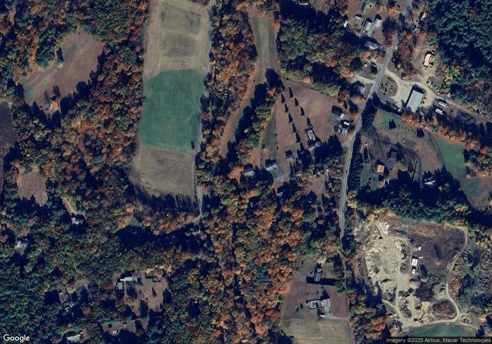
Map
Nearby Homes
- 27 West St
- 35 A N Leverett Rd
- 24 Union St
- 534-536 Turners Falls Rd
- 12 Ferry Rd
- 10 Hannabrooke Dr
- 260 Montague Rd
- 66 Cave Hill Rd
- 0 Pocumtuck Dr Unit 73379330
- 26 Falls Rd
- 18 Stage Rd
- 345 Greenfield Rd
- 61 Randall Wood Dr
- 0 Dudleyville Rd
- 18 Crescent St
- 208 Greenfield Rd
- 37 River Rd
- 427-429 Deerfield St
- 16 Vladish Ave
- Lots 1-4 Kavanaugh Ln
- 7 Dewolf Rd
- 10 Dewolf Rd
- 5 Dewolf Rd
- 6 Dewolf Rd
- 0 Dewolf Rd
- 3 Dewolf Rd
- 491 B Federal St
- 491-A B Federal St
- 491 Federal St Unit B
- 491 Federal St Unit A
- 491 Federal St Unit B
- 491 Federal St Unit A
- 491 Federal St Unit 491 A
- 491 Federal St
- 491 Federal St
- 493 Federal St Unit B
- 493 Federal St Unit A
- 495 Federal St Unit A
- 495 Federal St
- 1 Kells Rd
Your Personal Tour Guide
Ask me questions while you tour the home.