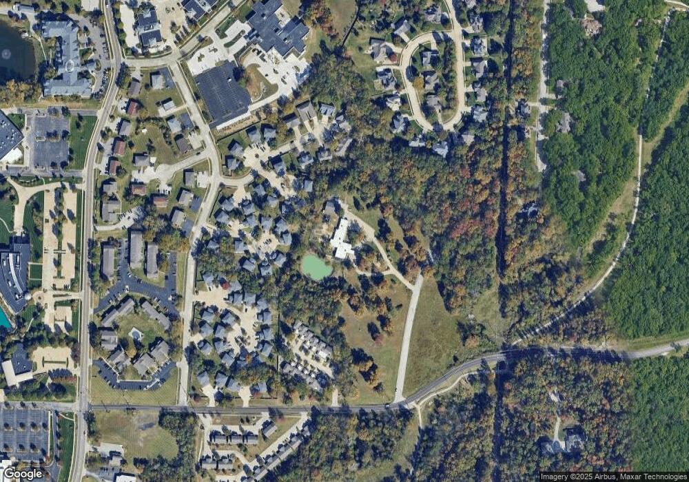
9 Dorado Dr Columbia, MO 65201
Estimated Value: $1,455,943
5
Beds
4
Baths
6,444
Sq Ft
$226/Sq Ft
Est. Value
About This Home
This home is located at 9 Dorado Dr, Columbia, MO 65201 and is currently estimated at $1,455,943, approximately $225 per square foot. 9 Dorado Dr is a home located in Boone County with nearby schools including Cedar Ridge Elementary School, Oakland Middle School, and Muriel W. Battle High School.
Ownership History
Date
Name
Owned For
Owner Type
Purchase Details
Closed on
Jul 29, 2005
Sold by
Andrews Richard L and Andrews Barbara
Bought by
Wendling Stephen and Wendling Cheryl
Current Estimated Value
Home Financials for this Owner
Home Financials are based on the most recent Mortgage that was taken out on this home.
Original Mortgage
$825,000
Outstanding Balance
$429,198
Interest Rate
5.51%
Mortgage Type
Future Advance Clause Open End Mortgage
Estimated Equity
$1,026,745
Create a Home Valuation Report for This Property
The Home Valuation Report is an in-depth analysis detailing your home's value as well as a comparison with similar homes in the area
Home Values in the Area
Average Home Value in this Area
Purchase History
| Date | Buyer | Sale Price | Title Company |
|---|---|---|---|
| Wendling Stephen | -- | Bone-Central Title Co |
Source: Public Records
Mortgage History
| Date | Status | Borrower | Loan Amount |
|---|---|---|---|
| Open | Wendling Stephen | $825,000 |
Source: Public Records
Tax History Compared to Growth
Tax History
| Year | Tax Paid | Tax Assessment Tax Assessment Total Assessment is a certain percentage of the fair market value that is determined by local assessors to be the total taxable value of land and additions on the property. | Land | Improvement |
|---|---|---|---|---|
| 2025 | $14,535 | $198,643 | $54,611 | $144,032 |
| 2024 | $14,535 | $198,643 | $54,611 | $144,032 |
| 2023 | $11,791 | $162,102 | $46,758 | $115,344 |
| 2022 | $11,780 | $162,102 | $46,758 | $115,344 |
| 2021 | $11,800 | $162,102 | $46,758 | $115,344 |
| 2020 | $12,498 | $162,102 | $46,758 | $115,344 |
| 2019 | $12,498 | $162,102 | $46,758 | $115,344 |
| 2018 | $12,579 | $0 | $0 | $0 |
| 2017 | $12,438 | $162,102 | $46,758 | $115,344 |
| 2016 | $12,741 | $162,102 | $46,758 | $115,344 |
| 2015 | $11,827 | $162,102 | $46,758 | $115,344 |
| 2014 | $11,887 | $162,102 | $46,758 | $115,344 |
Source: Public Records
Map
Nearby Homes
- 413 Woodridge Dr
- 3707 Woodridge Ct
- 205 Kipling Way
- 711 Woodridge Dr
- 500 Columbia Dr Unit D
- 509 Columbia Dr Unit C
- 2900 Green Valley Dr
- 216 Divot Dr
- 404 Sugarberry Dr
- 410 Sugarberry Dr
- 414 Sugarberry Dr
- 0 Brambleberry Unit 425260
- LOT 20 Sparrow Ct
- LOT 17 Sparrow Ct
- LOT 4 Flanders Ct
- 705 Sagemoor Dr
- LOT 3 Flanders Ct
- 4609 Sparrow Ct
- 6.40 Hanover Blvd
- 700 Sagemoor Dr
- 3404 Keenes Edge Dr Unit 3406
- 3400 Keenes Edge Dr Unit 3402
- 3408 Keenes Edge Dr Unit 3410
- 3413 E St Charles Rd Unit 2A
- 3413 E St Charles Rd
- 3415 E Saint Charles Rd Unit 2B
- 3415 E Saint Charles Rd
- 3417 E St Charles Rd Unit 2C
- 3417 E St Charles Rd
- 3419 E Saint Charles Rd Unit 2D
- 3419 E St Charles Rd
- 3421 E Saint Charles Rd Unit 2E
- 3421 E Saint Charles Rd
- 112 Dene Dr
- 3423 E St Charles Rd Unit 2F
- 3423 E St Charles Rd
- 3412 Keenes Edge Dr Unit 3414
- 58 Albany Dr
- 3412-3414 Keenes Edge Dr
- 3414 Keenes Edge Dr
