9 Dorothy Dr Standish, ME 04084
Estimated Value: $150,279 - $587,000
2
Beds
1
Bath
560
Sq Ft
$557/Sq Ft
Est. Value
About This Home
This home is located at 9 Dorothy Dr, Standish, ME 04084 and is currently estimated at $312,070, approximately $557 per square foot. 9 Dorothy Dr is a home located in Cumberland County with nearby schools including Bonny Eagle High School and Standish Baptist Academy.
Ownership History
Date
Name
Owned For
Owner Type
Purchase Details
Closed on
Nov 18, 2021
Sold by
Indigo Rt and Albert
Bought by
Albert Justin T
Current Estimated Value
Home Financials for this Owner
Home Financials are based on the most recent Mortgage that was taken out on this home.
Original Mortgage
$120,000
Outstanding Balance
$109,959
Interest Rate
2.99%
Mortgage Type
New Conventional
Estimated Equity
$202,111
Purchase Details
Closed on
Aug 30, 2017
Sold by
English Leslie E and Hoag James A
Bought by
Albert Thomas M and Albert Dana T
Create a Home Valuation Report for This Property
The Home Valuation Report is an in-depth analysis detailing your home's value as well as a comparison with similar homes in the area
Home Values in the Area
Average Home Value in this Area
Purchase History
| Date | Buyer | Sale Price | Title Company |
|---|---|---|---|
| Albert Justin T | $2,500 | None Available | |
| Albert Thomas M | -- | -- |
Source: Public Records
Mortgage History
| Date | Status | Borrower | Loan Amount |
|---|---|---|---|
| Open | Albert Justin T | $120,000 |
Source: Public Records
Tax History
| Year | Tax Paid | Tax Assessment Tax Assessment Total Assessment is a certain percentage of the fair market value that is determined by local assessors to be the total taxable value of land and additions on the property. | Land | Improvement |
|---|---|---|---|---|
| 2024 | $1,099 | $87,200 | $51,200 | $36,000 |
| 2023 | $990 | $71,500 | $42,700 | $28,800 |
| 2022 | $893 | $61,800 | $37,700 | $24,100 |
| 2021 | $861 | $57,400 | $34,400 | $23,000 |
| 2019 | $792 | $55,400 | $33,300 | $22,100 |
| 2018 | $739 | $53,200 | $31,100 | $22,100 |
| 2017 | $705 | $53,200 | $31,100 | $22,100 |
| 2016 | $682 | $53,200 | $31,100 | $22,100 |
| 2015 | $680 | $53,200 | $31,100 | $22,100 |
| 2013 | $643 | $53,200 | $31,100 | $22,100 |
Source: Public Records
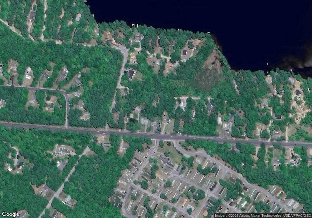
Map
Nearby Homes
- 5 Holiday Ln
- 21 Holiday Ln
- 500 Ossipee Trail W
- 27 Watchic Terrace Rd
- 4 Watchic Rd 15
- 328 Ossipee Trail W Unit 4
- 326 Ossipee Trail W Unit 3
- 324 Ossipee Trail W Unit 2
- 1042 Pequawket Trail
- 9 Macie Dr
- 4 Macie Dr Unit 70
- 13 Angelwood Road Extension
- 7 Macie Dr
- 11 Macie Dr Unit 79
- 1 Macie Dr Unit 84
- TBD Saco Rd
- 15 Manchester Rd
- 103 Kayli Dr
- 1 Cortland Place Unit 7
- 4 Cortland Place Unit 3
- 593 Ossipee Trail W
- 589 Ossipee Trail W
- 591 Ossipee Trail W
- 585 Ossipee Trail W
- 19 Dorothy Dr
- 595 Ossipee Trail W
- 23 Dorothy Dr
- 581 Ossipee Trail W
- 597 Ossipee Trail W
- 575 Ossipee Trail W
- 580 Ossipee Trail W
- 15 Watchic Road 4
- 15 E Eleanor Ave
- 3 Watchic Road 4
- 599 Ossipee Trail W
- 29 Dorothy Dr
- 61 Leisure Ln
- 54 Dorothy Dr
- 588 Ossipee Trail W
- 31 Dorothy Dr
Your Personal Tour Guide
Ask me questions while you tour the home.