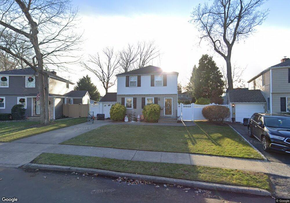
9 Dunstan Dr Merrick, NY 11566
Estimated Value: $835,483 - $861,000
3
Beds
2
Baths
1,410
Sq Ft
$602/Sq Ft
Est. Value
About This Home
This home is located at 9 Dunstan Dr, Merrick, NY 11566 and is currently estimated at $848,242, approximately $601 per square foot. 9 Dunstan Dr is a home located in Nassau County with nearby schools including Merrick Avenue Middle School, Sanford H Calhoun High School, and Sacred Heart School.
Ownership History
Date
Name
Owned For
Owner Type
Purchase Details
Closed on
Jan 21, 2010
Sold by
Mohr William G and Mohr Marguerite R
Bought by
Meegan Daniel J and Meegan Karen M
Current Estimated Value
Home Financials for this Owner
Home Financials are based on the most recent Mortgage that was taken out on this home.
Original Mortgage
$348,000
Outstanding Balance
$229,639
Interest Rate
5.05%
Mortgage Type
Purchase Money Mortgage
Estimated Equity
$618,603
Create a Home Valuation Report for This Property
The Home Valuation Report is an in-depth analysis detailing your home's value as well as a comparison with similar homes in the area
Home Values in the Area
Average Home Value in this Area
Purchase History
| Date | Buyer | Sale Price | Title Company |
|---|---|---|---|
| Meegan Daniel J | $435,000 | -- |
Source: Public Records
Mortgage History
| Date | Status | Borrower | Loan Amount |
|---|---|---|---|
| Open | Meegan Daniel J | $348,000 |
Source: Public Records
Tax History
| Year | Tax Paid | Tax Assessment Tax Assessment Total Assessment is a certain percentage of the fair market value that is determined by local assessors to be the total taxable value of land and additions on the property. | Land | Improvement |
|---|---|---|---|---|
| 2025 | $15,352 | $567 | $203 | $364 |
| 2024 | $4,190 | $567 | $203 | $364 |
Source: Public Records
Map
Nearby Homes
- 20 Iris Ave
- 840 Jerusalem Ave
- 1974 Monroe Ave
- 25 Old Mill Rd
- 1543 William St
- 614 Bond Ct
- 37 Orchard St
- 1425 Jerusalem Ave Unit 7
- 2046 Hancock Ave
- 1762 Esposito Ct
- 1817 Gardenia Ave
- 1026 Barbara Ct
- 116 Winifred Dr
- 2001 N Jerusalem Rd
- 2360 Hamilton Rd
- 526 Park Ave
- 922 Leeds Dr
- 204 Maeder Ave
- 1963 Central Dr N
- 2119 Rosemont St
Your Personal Tour Guide
Ask me questions while you tour the home.