9 E Serenity Cir Columbia, MO 65202
Estimated Value: $166,000 - $211,000
4
Beds
2
Baths
1,056
Sq Ft
$187/Sq Ft
Est. Value
About This Home
This home is located at 9 E Serenity Cir, Columbia, MO 65202 and is currently estimated at $197,146, approximately $186 per square foot. 9 E Serenity Cir is a home located in Boone County with nearby schools including Two Mile Prairie Elementary School, John B. Lange Middle School, and Muriel W. Battle High School.
Ownership History
Date
Name
Owned For
Owner Type
Purchase Details
Closed on
Jan 24, 2024
Sold by
Show Me Properties Llc
Bought by
Wren Charles
Current Estimated Value
Home Financials for this Owner
Home Financials are based on the most recent Mortgage that was taken out on this home.
Original Mortgage
$20,940
Outstanding Balance
$12,718
Interest Rate
6.95%
Mortgage Type
Seller Take Back
Estimated Equity
$184,428
Create a Home Valuation Report for This Property
The Home Valuation Report is an in-depth analysis detailing your home's value as well as a comparison with similar homes in the area
Home Values in the Area
Average Home Value in this Area
Purchase History
| Date | Buyer | Sale Price | Title Company |
|---|---|---|---|
| Wren Charles | -- | Boone Central Title |
Source: Public Records
Mortgage History
| Date | Status | Borrower | Loan Amount |
|---|---|---|---|
| Open | Wren Charles | $20,940 |
Source: Public Records
Tax History Compared to Growth
Tax History
| Year | Tax Paid | Tax Assessment Tax Assessment Total Assessment is a certain percentage of the fair market value that is determined by local assessors to be the total taxable value of land and additions on the property. | Land | Improvement |
|---|---|---|---|---|
| 2025 | $1,092 | $15,523 | $2,128 | $13,395 |
| 2024 | $1,021 | $14,117 | $2,128 | $11,989 |
| 2023 | $1,012 | $14,117 | $2,128 | $11,989 |
| 2022 | $937 | $13,072 | $2,128 | $10,944 |
| 2021 | $938 | $13,072 | $2,128 | $10,944 |
| 2020 | $920 | $12,106 | $2,128 | $9,978 |
| 2019 | $920 | $12,106 | $2,128 | $9,978 |
| 2018 | $858 | $0 | $0 | $0 |
| 2017 | $848 | $11,210 | $2,128 | $9,082 |
| 2016 | $846 | $11,210 | $2,128 | $9,082 |
| 2015 | $782 | $11,210 | $2,128 | $9,082 |
| 2014 | -- | $11,210 | $2,128 | $9,082 |
Source: Public Records
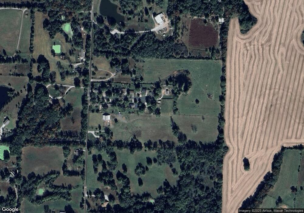
Map
Nearby Homes
- 9551 Interstate 70 Dr NE
- 351 N Purdy Ln
- 2314 N Traveller Dr
- 2415 N Traveller Dr
- 2385 N Traveller Dr
- 2280 N Federal Dr
- 2360 N Federal Dr
- 1530 County Road 256
- 000 E Mexico Gravel Rd
- 0 E St Charles Rd Unit 415697
- 7421 E Sunrise Ct
- 25 N Luna Ln
- 9830 Interstate 70 Dr SE
- LOT 3 Battle Ave
- LOT 1 Battle Ave
- 61 N Broadview Ct
- LOT 302 Battle Ave
- 6900 Armstrong Dr
- 6781 E South Field Dr
- 6908 E Mexico Gravel Rd
- 10516 E Serenity Cir
- 10514 E Serenity Cir
- 10512 E Serenity Cir
- 10517 E Serenity Cir
- 10515 E Serenity Cir
- 10510 E Serenity Cir
- 10513 E Serenity Cir
- 10511 E Serenity Cir
- 10508 E Serenity Cir
- 10509 E Serenity Cir
- 10506 E Serenity Cir
- 10507 E Serenity Cr
- 10507 E Serenity Cir
- 10504 E Serenity Cir
- 10505 E Serenity Cir
- 1610 N Dozier Station Rd
- 10502 E Serenity Cir
- 10500 E Serenity Cir
- 10501 E Serenity Cir
- 1450 N Dozier Station Rd