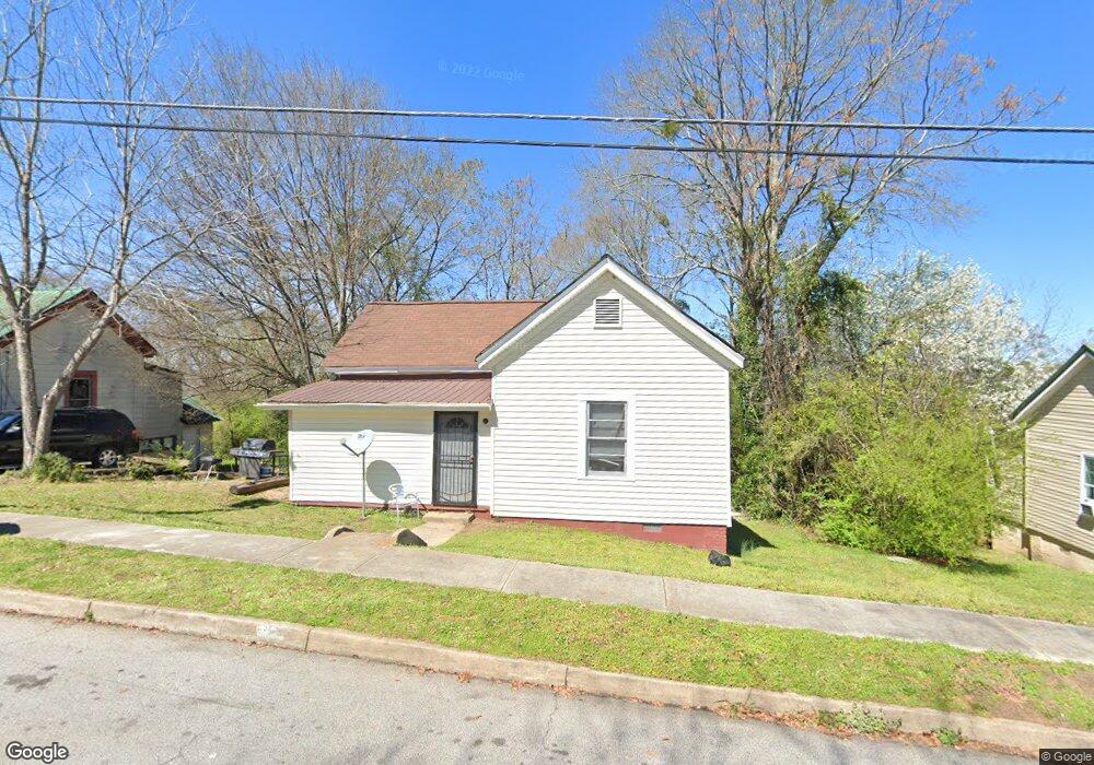
9 Eleanor St Lagrange, GA 30241
Estimated Value: $83,000 - $98,000
2
Beds
1
Bath
873
Sq Ft
$106/Sq Ft
Est. Value
About This Home
This home is located at 9 Eleanor St, Lagrange, GA 30241 and is currently estimated at $92,344, approximately $105 per square foot. 9 Eleanor St is a home located in Troup County with nearby schools including Hollis Hand Elementary School, Franklin Forest Elementary School, and Ethel W. Kight Elementary School.
Ownership History
Date
Name
Owned For
Owner Type
Purchase Details
Closed on
Mar 15, 2002
Sold by
Newton O Wilcox
Bought by
Bowen Clarence
Current Estimated Value
Purchase Details
Closed on
Jan 10, 2002
Sold by
Flag Bank
Bought by
Newton O Wilcox
Purchase Details
Closed on
Jul 19, 2001
Sold by
Michael Shane and Julie Trenton
Bought by
Flag Bank
Purchase Details
Closed on
Nov 12, 1998
Sold by
James Ronald Trenton
Bought by
Michael Shane and Julie Trenton
Purchase Details
Closed on
Mar 8, 1990
Sold by
Lorene Trenton
Bought by
James Ronald Trenton
Purchase Details
Closed on
Jan 1, 1962
Sold by
Ralph Mathews J
Bought by
Lorene Trenton
Create a Home Valuation Report for This Property
The Home Valuation Report is an in-depth analysis detailing your home's value as well as a comparison with similar homes in the area
Purchase History
| Date | Buyer | Sale Price | Title Company |
|---|---|---|---|
| Bowen Clarence | $13,000 | -- | |
| Newton O Wilcox | $13,000 | -- | |
| Flag Bank | $31,900 | -- | |
| Michael Shane | -- | -- | |
| James Ronald Trenton | -- | -- | |
| Lorene Trenton | -- | -- |
Source: Public Records
Tax History
| Year | Tax Paid | Tax Assessment Tax Assessment Total Assessment is a certain percentage of the fair market value that is determined by local assessors to be the total taxable value of land and additions on the property. | Land | Improvement |
|---|---|---|---|---|
| 2025 | $623 | $22,840 | $2,120 | $20,720 |
| 2024 | $571 | $20,920 | $2,120 | $18,800 |
| 2023 | $465 | $17,040 | $2,120 | $14,920 |
| 2022 | $449 | $16,080 | $2,120 | $13,960 |
| 2021 | $396 | $13,120 | $2,120 | $11,000 |
| 2020 | $396 | $13,120 | $2,120 | $11,000 |
| 2019 | $361 | $11,960 | $2,120 | $9,840 |
| 2018 | $361 | $11,972 | $2,132 | $9,840 |
| 2017 | $361 | $11,972 | $2,132 | $9,840 |
| 2016 | $351 | $11,640 | $2,132 | $9,508 |
| 2015 | $352 | $11,640 | $2,132 | $9,508 |
| 2014 | $337 | $11,139 | $2,132 | $9,007 |
| 2013 | -- | $11,953 | $2,132 | $9,821 |
Source: Public Records
Map
Nearby Homes
Your Personal Tour Guide
Ask me questions while you tour the home.