9 Erin Way Dedham, MA 02026
Dexter NeighborhoodEstimated Value: $1,222,917 - $1,865,000
4
Beds
3
Baths
2,498
Sq Ft
$585/Sq Ft
Est. Value
About This Home
This home is located at 9 Erin Way, Dedham, MA 02026 and is currently estimated at $1,461,729, approximately $585 per square foot. 9 Erin Way is a home located in Norfolk County with nearby schools including Riverdale Elementary School, Dedham Middle School, and Dedham High School.
Ownership History
Date
Name
Owned For
Owner Type
Purchase Details
Closed on
Jun 15, 2015
Sold by
Sweeney Robert J and Obrien Maureen T
Bought by
Maureen T Obrien Ret
Current Estimated Value
Purchase Details
Closed on
Nov 1, 1996
Sold by
Erin Properties Inc
Bought by
Sweeny Robert J
Home Financials for this Owner
Home Financials are based on the most recent Mortgage that was taken out on this home.
Original Mortgage
$300,000
Interest Rate
8.07%
Mortgage Type
Purchase Money Mortgage
Create a Home Valuation Report for This Property
The Home Valuation Report is an in-depth analysis detailing your home's value as well as a comparison with similar homes in the area
Home Values in the Area
Average Home Value in this Area
Purchase History
| Date | Buyer | Sale Price | Title Company |
|---|---|---|---|
| Maureen T Obrien Ret | -- | -- | |
| Sweeny Robert J | $444,500 | -- |
Source: Public Records
Mortgage History
| Date | Status | Borrower | Loan Amount |
|---|---|---|---|
| Previous Owner | Sweeny Robert J | $206,600 | |
| Previous Owner | Sweeny Robert J | $200,000 | |
| Previous Owner | Sweeny Robert J | $295,000 | |
| Previous Owner | Sweeny Robert J | $300,000 |
Source: Public Records
Tax History Compared to Growth
Tax History
| Year | Tax Paid | Tax Assessment Tax Assessment Total Assessment is a certain percentage of the fair market value that is determined by local assessors to be the total taxable value of land and additions on the property. | Land | Improvement |
|---|---|---|---|---|
| 2025 | $15,725 | $1,246,000 | $420,800 | $825,200 |
| 2024 | $15,676 | $1,254,100 | $404,800 | $849,300 |
| 2023 | $13,115 | $1,021,400 | $356,800 | $664,600 |
| 2022 | $12,096 | $906,100 | $327,600 | $578,500 |
| 2021 | $11,557 | $845,400 | $332,800 | $512,600 |
| 2020 | $11,673 | $850,800 | $321,700 | $529,100 |
| 2019 | $11,406 | $806,100 | $312,500 | $493,600 |
| 2018 | $11,381 | $782,200 | $288,600 | $493,600 |
| 2017 | $10,744 | $727,900 | $262,700 | $465,200 |
| 2016 | $10,389 | $670,700 | $237,400 | $433,300 |
| 2015 | $10,508 | $662,100 | $270,500 | $391,600 |
| 2014 | -- | $643,000 | $270,500 | $372,500 |
Source: Public Records
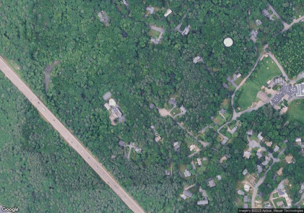
Map
Nearby Homes
- 223 Robert Rd
- 165 Highland St Unit 165
- 107 Horrigan Dr Unit 12
- 106 Horrigan Dr Unit 21
- 112 Horrigan Dr Unit 20
- 87 Horrigan Dr Unit 8
- 86 Horrigan Dr Unit 23
- 80 Horrigan Dr Unit 24
- 66 Horrigan Dr Unit 25
- 57 Horrigan Dr Unit 3
- 37 Horrigan Dr Unit 1
- 1040 High St
- 167 Court St
- 570 Washington St
- 1000 Washington St Unit 205
- 1133 High St
- 1133 High
- 262 Meadowbrook Rd
- 20 Shuttleworth Place
- 20-35 Shuttleworth Place
- 5 Erin Way
- 175 Sandy Valley Rd
- 3 Erin Way
- 221 Sandy Valley Rd
- 223 Sandy Valley Rd
- 211 Sandy Valley Rd
- 167 Sandy Valley Rd
- 139 Sandy Valley Rd
- 159 Sandy Valley Rd
- 125 Sandy Valley Rd
- 253 Stoney Lea Rd
- 1 Davie Way
- 121 Sandy Valley Rd
- 99 Sandy Valley Rd
- 99 Sandy Valley Rd Unit 1
- 180 Sandy Valley Rd
- 9 Karen Pines St
- 271 Stoney Lea Rd
- 150 Sandy Valley Rd
- 140 Sandy Valley Rd