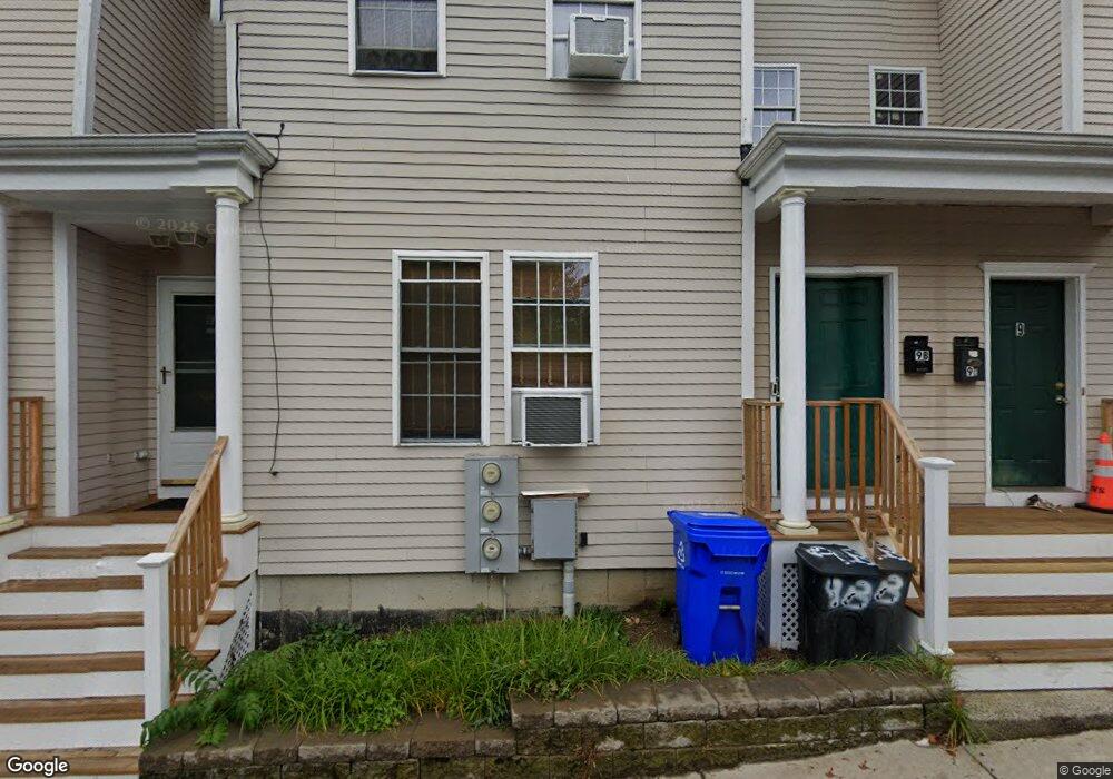
9 Fairland St Unit 1 Roxbury, MA 02119
Sav-Mor NeighborhoodEstimated Value: $501,000 - $688,000
2
Beds
2
Baths
1,373
Sq Ft
$443/Sq Ft
Est. Value
About This Home
This home is located at 9 Fairland St Unit 1, Roxbury, MA 02119 and is currently estimated at $608,469, approximately $443 per square foot. 9 Fairland St Unit 1 is a home located in Suffolk County with nearby schools including Dudley Street Neighborhood Charter School and City on a Hill Charter Public School.
Ownership History
Date
Name
Owned For
Owner Type
Purchase Details
Closed on
Apr 25, 2003
Sold by
Habitat Humanity Gtr B
Bought by
Sillah Maima
Current Estimated Value
Home Financials for this Owner
Home Financials are based on the most recent Mortgage that was taken out on this home.
Original Mortgage
$105,239
Outstanding Balance
$44,845
Interest Rate
5.64%
Mortgage Type
Purchase Money Mortgage
Estimated Equity
$563,624
Create a Home Valuation Report for This Property
The Home Valuation Report is an in-depth analysis detailing your home's value as well as a comparison with similar homes in the area
Home Values in the Area
Average Home Value in this Area
Purchase History
| Date | Buyer | Sale Price | Title Company |
|---|---|---|---|
| Sillah Maima | $328,000 | -- |
Source: Public Records
Mortgage History
| Date | Status | Borrower | Loan Amount |
|---|---|---|---|
| Open | Sillah Maima | $105,239 | |
| Closed | Sillah Maima | $122,760 |
Source: Public Records
Tax History Compared to Growth
Tax History
| Year | Tax Paid | Tax Assessment Tax Assessment Total Assessment is a certain percentage of the fair market value that is determined by local assessors to be the total taxable value of land and additions on the property. | Land | Improvement |
|---|---|---|---|---|
| 2025 | $5,150 | $444,700 | $0 | $444,700 |
| 2024 | $4,336 | $397,800 | $0 | $397,800 |
| 2023 | $4,107 | $382,400 | $0 | $382,400 |
| 2022 | $3,962 | $364,200 | $0 | $364,200 |
| 2021 | $3,737 | $350,200 | $0 | $350,200 |
| 2020 | $3,550 | $336,200 | $0 | $336,200 |
| 2019 | $3,222 | $305,700 | $0 | $305,700 |
| 2018 | $2,911 | $277,800 | $0 | $277,800 |
| 2017 | $2,749 | $259,600 | $0 | $259,600 |
| 2016 | $2,669 | $242,600 | $0 | $242,600 |
| 2015 | $2,697 | $222,700 | $0 | $222,700 |
| 2014 | $2,643 | $210,100 | $0 | $210,100 |
Source: Public Records
Map
Nearby Homes
- 101 Mount Pleasant Ave
- 108 Mount Pleasant Ave Unit 108R
- 33 Copeland Park Unit C
- 2 Mount Pleasant Place Unit 2
- 80 Blue Hill Ave Unit 5
- 20 Rockville Park
- 22 Rockville Park
- 7 Langford Park Unit 3
- 30 Copeland St Unit 1
- 59 Perrin St
- 59 Perrin St Unit 1
- 24 Clarence St Unit 24R
- 45 Woodville St
- 22 Alaska St
- 250 Dudley St Unit 1
- 119 Blue Hill Ave
- 31 Alaska St
- 133 Blue Hill Ave
- 91 Zeigler St
- 79 W Cottage St
- 9B Fairland St Unit B
- 9 Fairland St Unit 3
- 9 Fairland St Unit 2
- 9 Fairland St Unit C
- 9 Fairland St Unit B
- 19 Fairland St
- 7 Fairland St
- 21 Fairland St
- 5 Fairland St
- 5 Fairland St Unit 1
- 85 Mount Pleasant Ave
- 6 Fairland St
- 15 Fairland St
- 13 Fairland St
- 3 Fairland St
- 12 Fairland St
- 14 Fairland St
- 14 Fairland St Unit c
- 14 Fairland St Unit 3
- 62 Winthrop St Unit 2